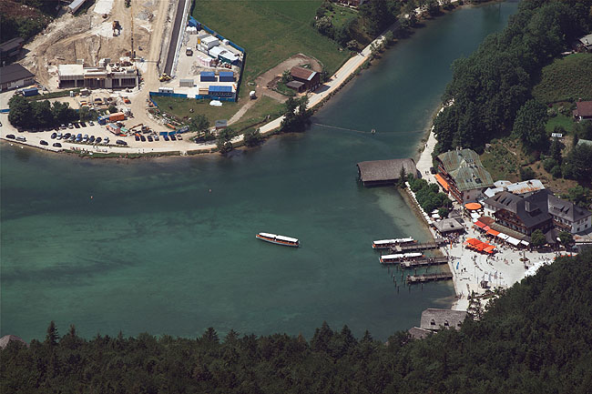
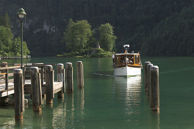
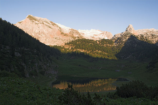
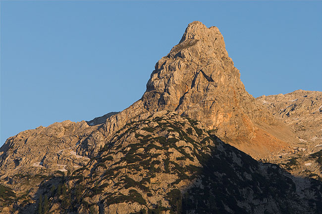
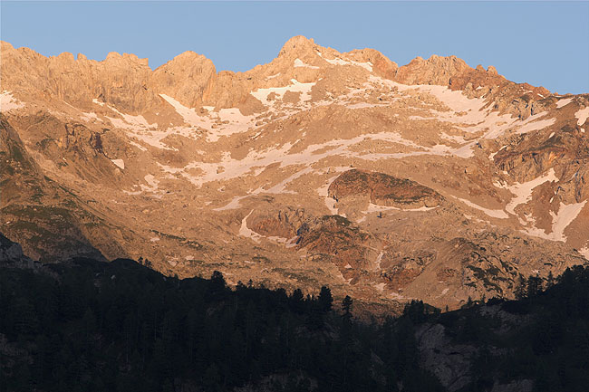
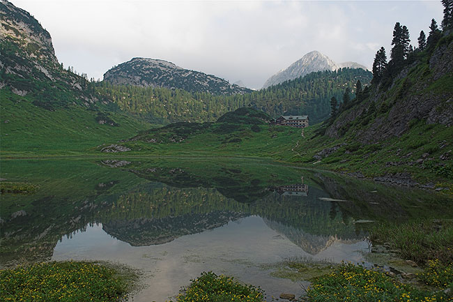
Berchtesgaden Alps


Königsee

A view at the southern end of this fjord-like lake from the Jenner. With an elevation of 1874 m, the vertical difference is more than a kilometer down to the lake at 603 m. The lake was formed by glacier flows during the ice age and has a maximum depth of about 190 m.

Pier

Sönau, a village at the southern end of the Königsee, is a touristic place. Ships carry them across the lake. To preserve the very clean water the ships are exclusively driven by electricity. Combustion engines are banned from the lake.
Koenigsee Mooring Ship


Difference

The same view at different times. From the village Schwöb, where we stayed before our tour, we enjoyed a good view at some faraway mountains in the west, called the Reiter Alm, on the western border of the National Park and not belonging to the Berchtesgaden Alps. The massive mountain on the left side is the Stadelhorn (2286 m), then in the middle the Wagendrischelhorn (2251 m), followed by the Hohes Gerstfeld on the right side.
View from Schwoeb View from Schwoeb


Riddle

This is a shot taken from the Carl von Stahl Haus through a 300 mm lens. Either you look at the map right after taking the picture, or identification becomes difficult at later stages. It was a southwesterly direction, if I'm not wrong... Anybody out there who knows what mountain it is? Word goes it is the upper part of Funtenseetauern (2579 m).

Lake

The Seelein Lake is a little lake, and this is exactly what the name suggests. Still it contains water, very clean water indeed, and so many hikers take a break at this place. The lake quickly freezes over in winter.
From Stahlhaus Seelein Lake


Funten Lake

Seen from the Kärlinger Haus, a comfortable place for multiple shots. The lake's outlet is a drain, a place called "Devil's Mill" underneath the rock wall on the left, easily distinguishable in the photograph, and creating a suspicious gurgling sound. The absence of an outlet, combined with an elevation of 1601 m and high mountains all around the shore collect the cold air above the lake, thus setting up record low temperatures below -40 deg C in winter.
Funten Lake Funten Lake


Mountain

The Schottmalhorn, a 2233 m peak high above the Funtensee, is lit by the setting sun. Some climbing skills are required for the summit.

Sunlight

Another view from the Kärlingerhaus at a small part of the scene in the distance that is hard to identify later on and hence hard to name.
Schottmalhorn From Kaerlingerhaus


Morning

In the early hours the air is often calm, so this is the exact moment for a good shot at a lake, it's surface as still as a mirror. The Kärlingerhaus is on the opposite side, a mountain hut already built more than a century ago.
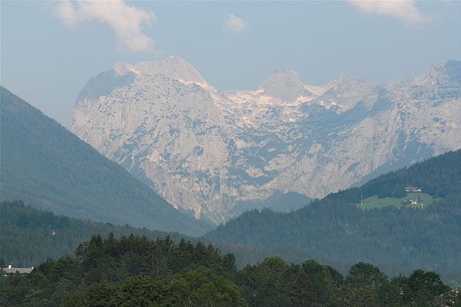
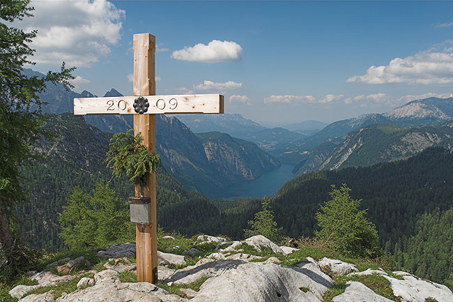
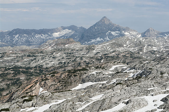
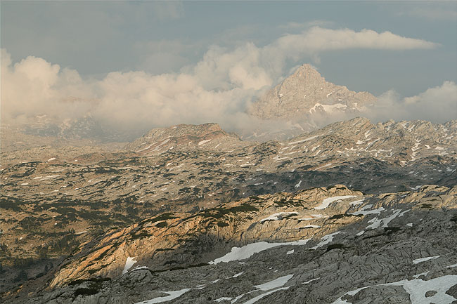
Cross

The Feldkogel doesn't belong to the high tops with just 1886 m, and the neighboring walls are much higher and spoil the summit-feeling entirely, but the easy and beautiful walk from the Kärlingerhaus is granted with this view at the Königsee. I can recommend it for those who arrive at the hut with some time left before night sets in.
Funten Lake Feldkogel


Marmot

First you hear them whistle. Somebody is always on the watch, but they are used to people and easy to photograph. The whistling reaches exactly the opposite effect, because otherwise it would be hard to see these tiny squirrels without searching.

Chamois

The other species nearly every hiker should stumble over when in the Berchtesgaden National Park, where hunting is not allowed, except with a camera.
Marmot Chamois


Another Comparison

This time these are shots from the Ingolstädter Haus, a mountain hut with a good look at the Steinerne Meer, the "Sea of Stones", as the bare rocky highland is called. The dominating peak is the Schönfeldspitze (2653 m), to the left the Rotwand (2231 m). Even at the beginning of July there is still much snow left to make you sometimes feel rather like in late winter than in summer.

Steinernes Meer From Ingolstaetter Haus


Schönfeldspitze

Shortly after a thunderstorm in the afternoon and then later in the evening, again in clearer air, the mountain towers above the Steinerne Meer.

From Ingolstaetter Haus From Ingolstaetter Haus


Dog

The official guardian of the Ingolstädter Haus is watching out for the arriving cable car with supplies for the hut. Obviously it also carries a load of dog food.

Dog's End

As one of the highest summits in the area it has the strange name Grosser Hundstod, in translation "The big dog's death", whereas "big" isn't related to the word "death", but to the mountain. It's elevation is 2593 m.
Dog Grosser Hundstod


Watzmann

Without a doubt the most famous summit in the region, also the highest one at 2713 m. It's eastern wall is the highest wall of the Eastern Alps with 1900 m down to the Königsee. Due to the high popularity the Watzmann is usually crowded. This and the long routes accross the summit and up or down the wall result in many accidents.

Watzmann


Kahlersberg

On the other side of the Königsee, seen from the Watzmannhaus.

Again Watzmann

Or, to be more specific, the somewhat lower Hocheck (2651 m), because the highest summit of the Watzmann is not visible from the Watzmannhaus.
From Watzmannhaus Hocheck


Neighbor

Immediatly east of the Watzmann is another high mountain called Hochkalter, only somewhat lower at 2606 m, hence truely overshadowed by its famous neighbor.

Valley

Between Watzmann and the Hochkalter is the Wimbach Valley, also called Wimbacher Gries. The surrounding rocks consist of Dolomit, a very brittle rock that has filled the valley with "Gries". This thick layer of small stones makes the upper Wimbach river disappear.
Hochkalter Wimbachgries


BACK