|
|
|
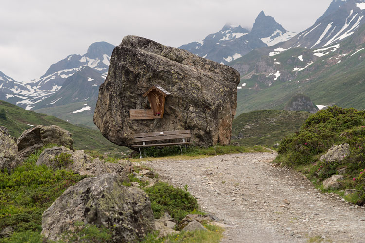
StoneGoing up the Fimba Valley, you will pass this huge stone, huge enough to host a bench. |
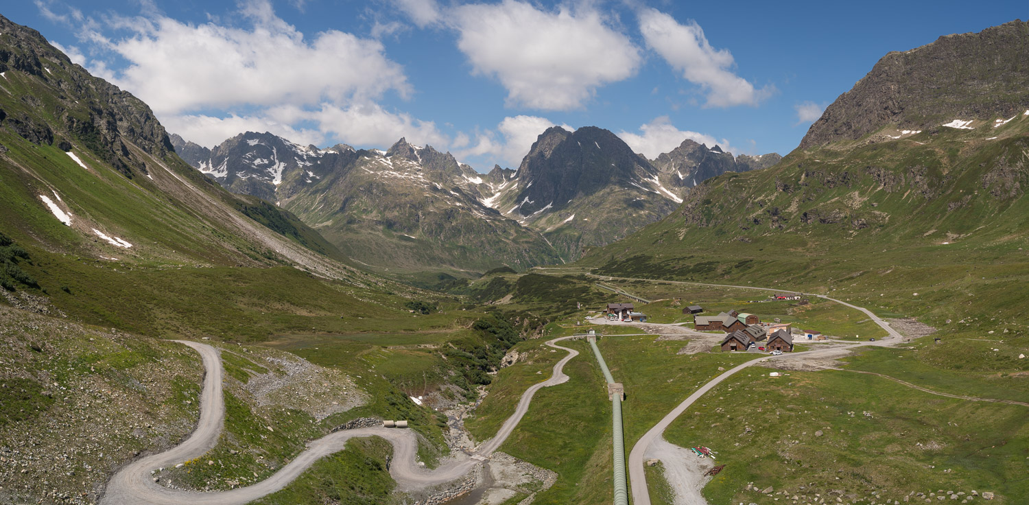
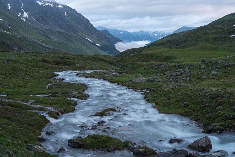
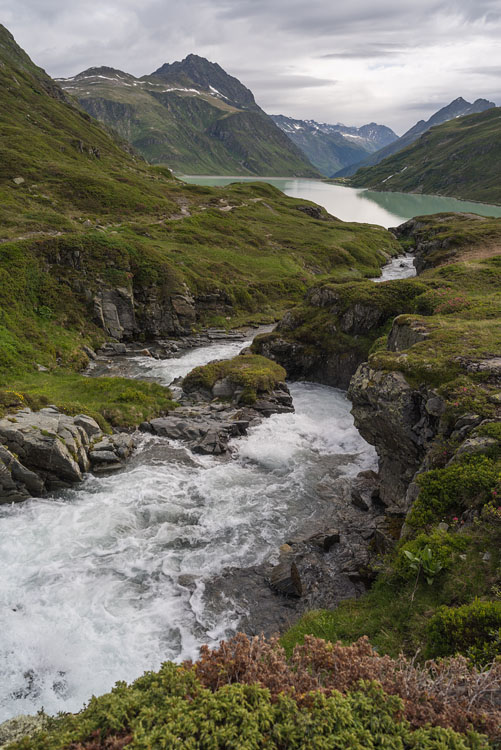
FimbaThe Fimbabach at a late hour near the Heidelberger Hut, which is already located on Swiss territory. |
|
|
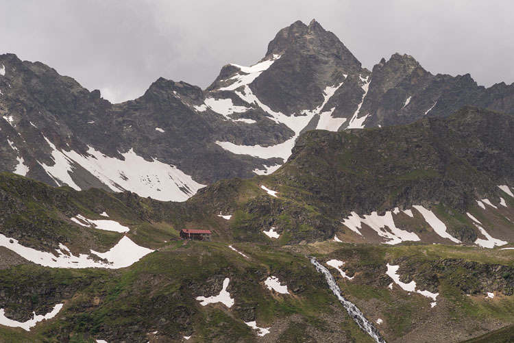
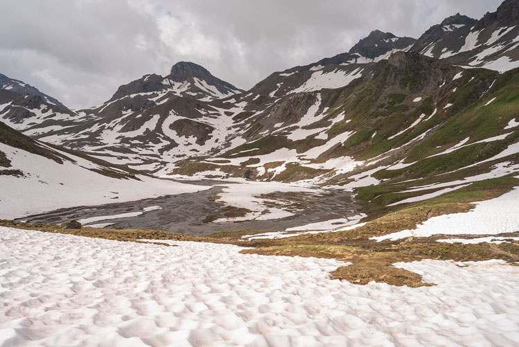
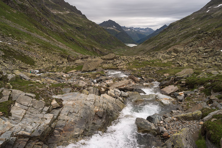
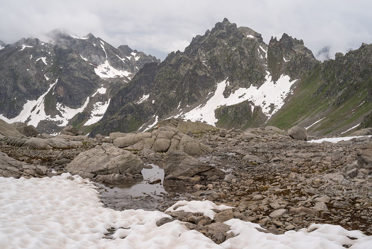
On snowFrom the Heidelberger Hut we go up to cross the Kronenjoch (2980 m). |
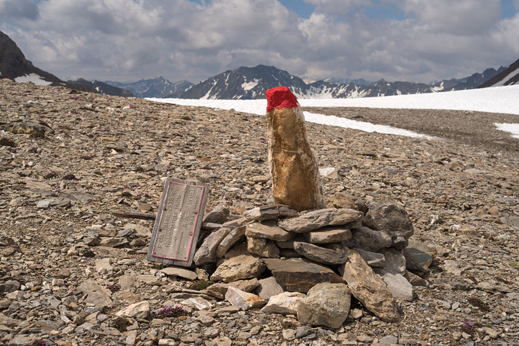
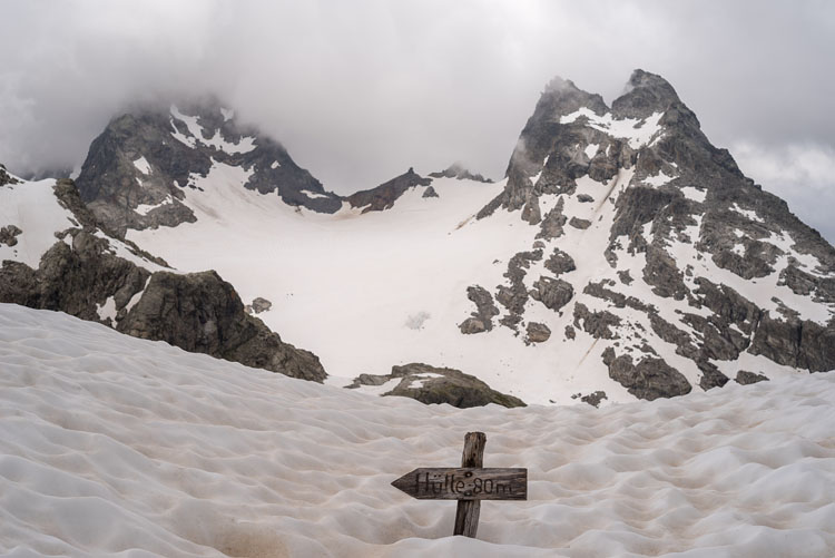
WrongUp on the pass, everything is good and well, except that we are on the wrong pass. Fuorcla da Tasna, says the fallen sign. |
|
|
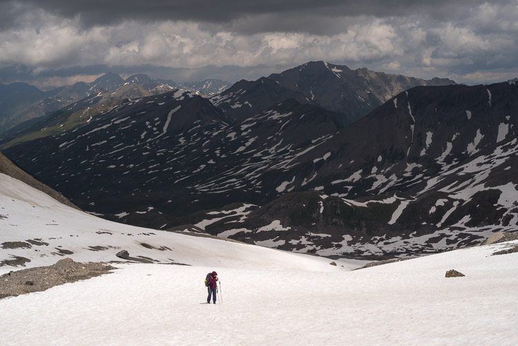
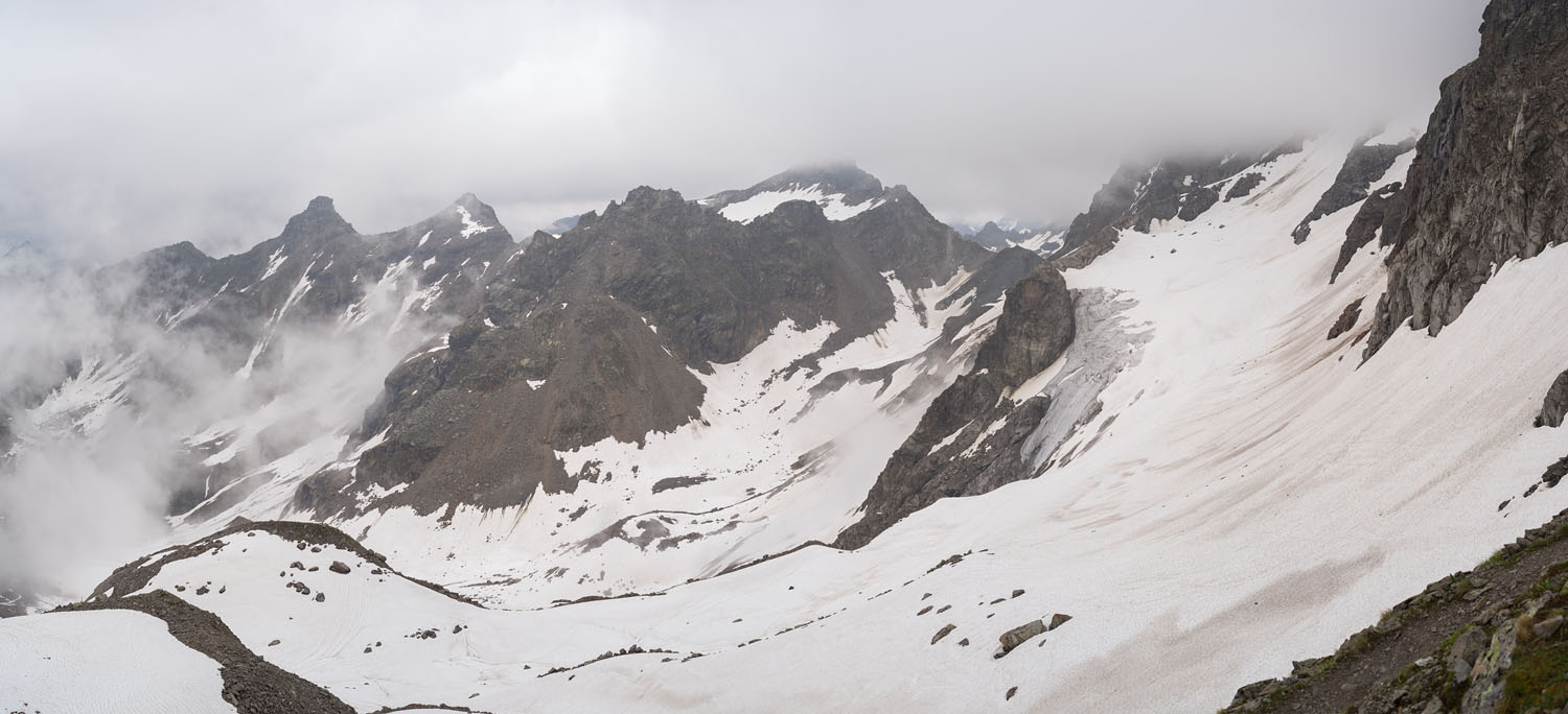
Next TryGetting to our pass requires a little retreat and a new ascent over snowfields. |
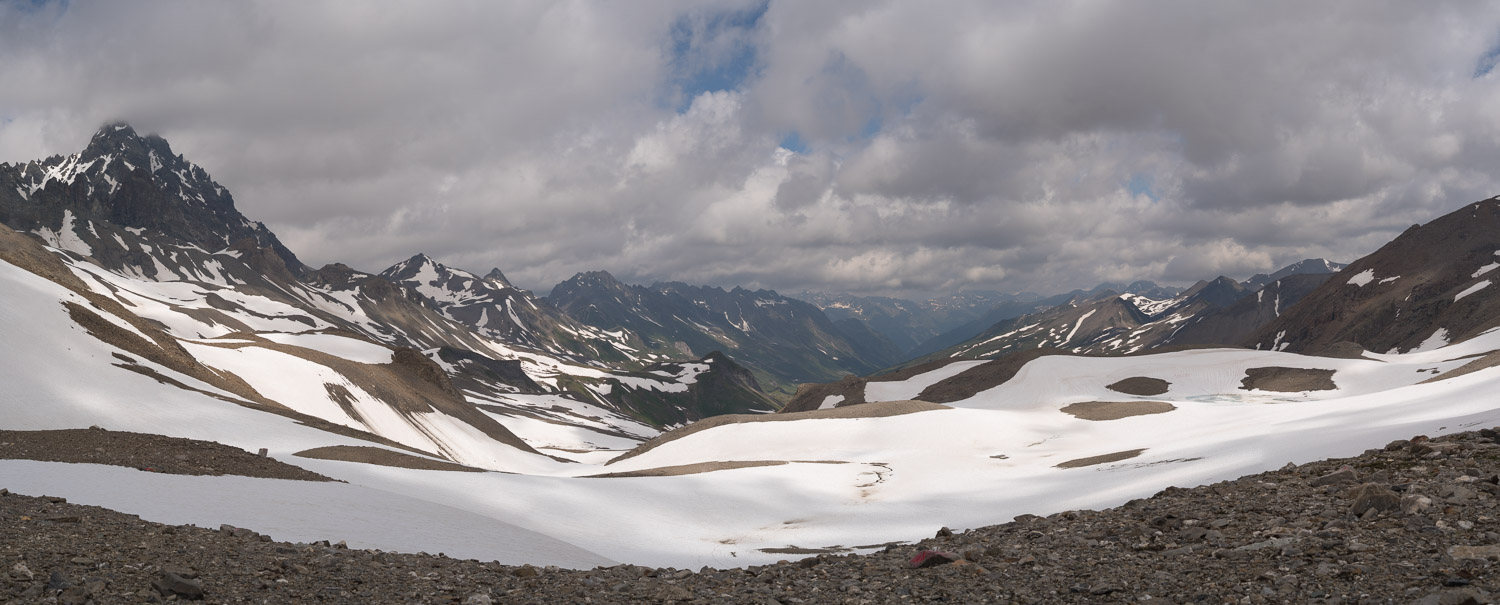
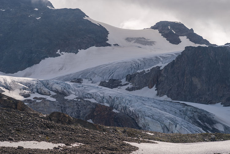
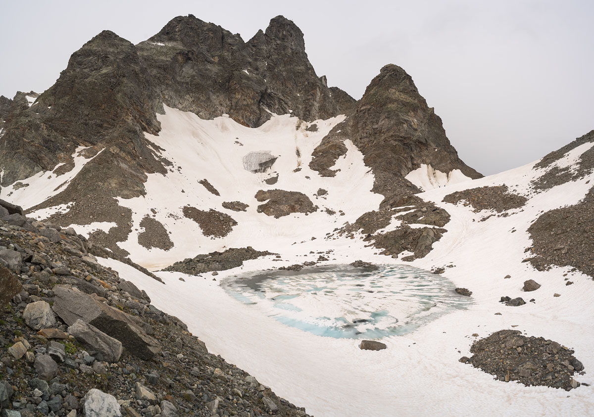
KronenjochHere we are. At 2980 m. The little glacier on the left is the Obere Augustenferner. How long will it last? |
|
|
|
|
|
|
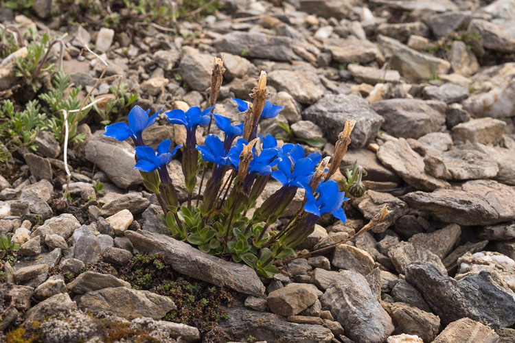
Spring Gentian |
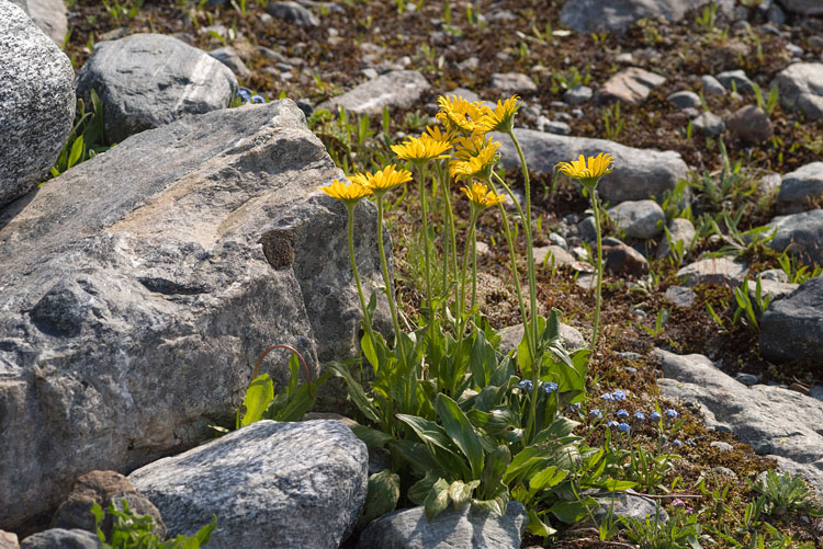
Tafted Leopard's bane (Doronicum clusii) |
|
|
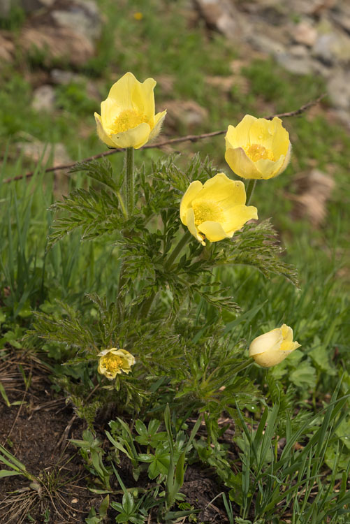
Alpine Pasqueflower |
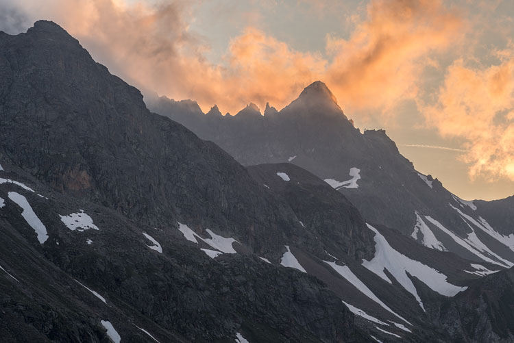
SunsetThe Kleine Schattenspitze (2703 m) during sunset. |
|
|
|
|
|
|
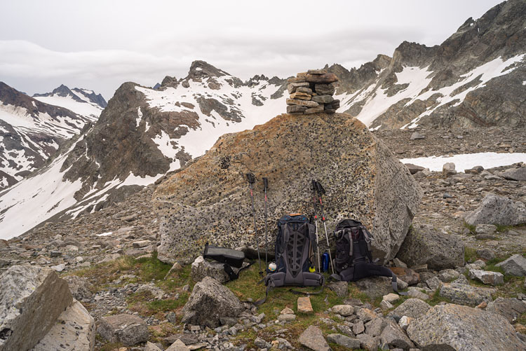
LitznersattelA big stone on the 2740 m pass watches over our packs. |
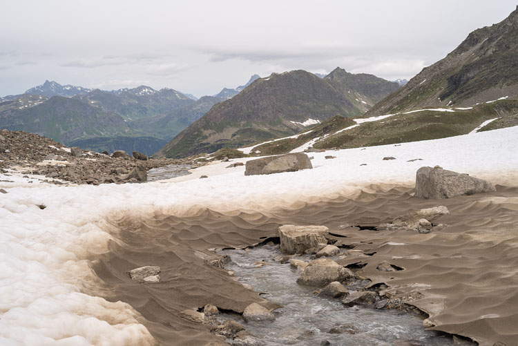
SnowThawing snowfields on the way to Saarbrücker Hut. |
|
|
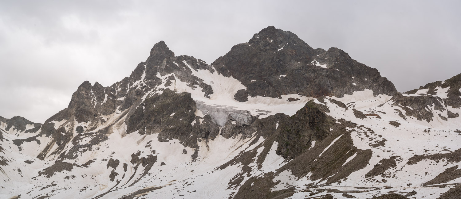
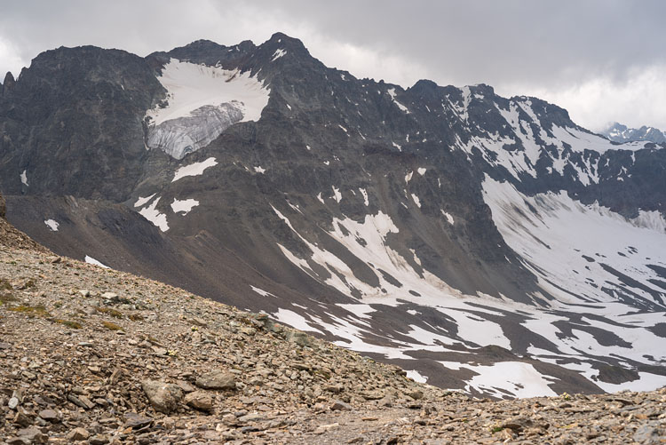
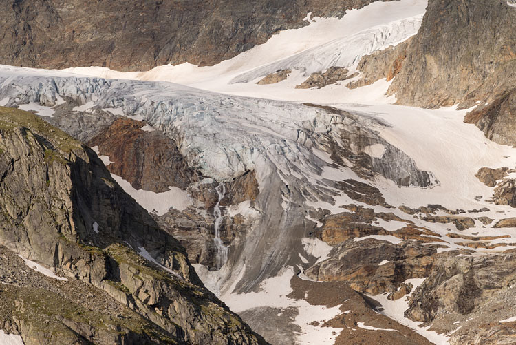
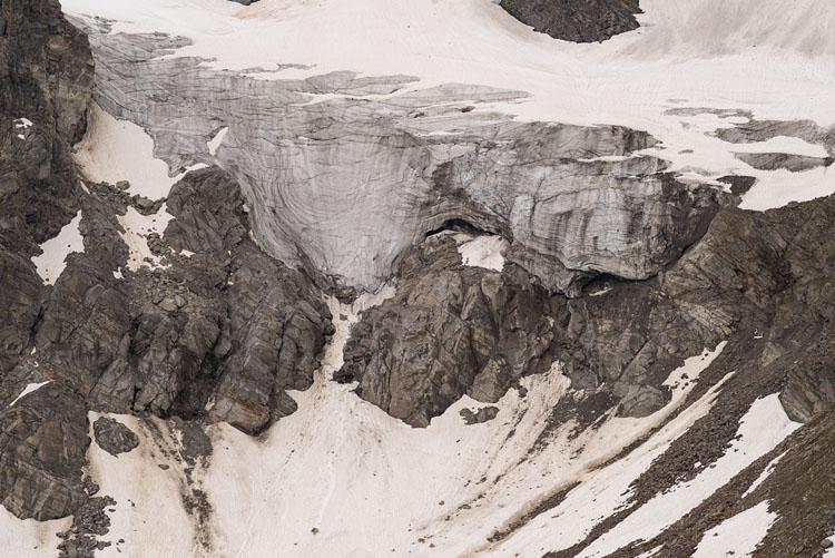
GlacierThese are the remnants of the Litzner Glacier on the north-flank of Großlitzner. |
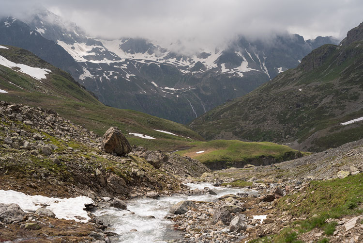
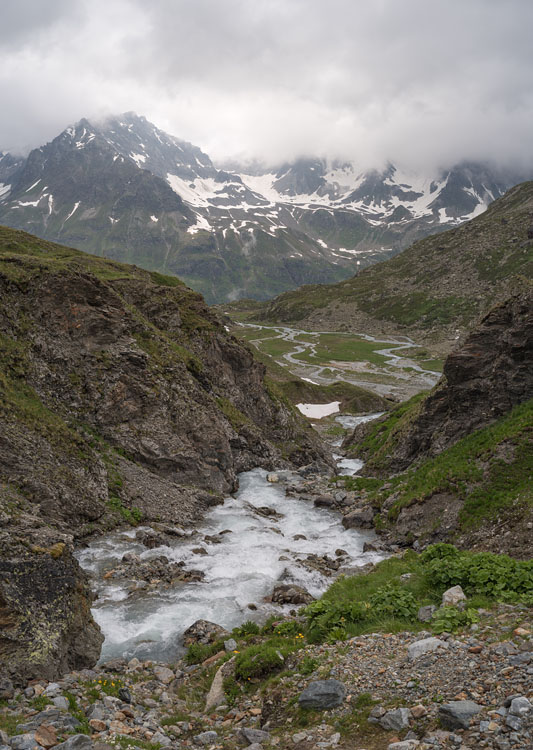
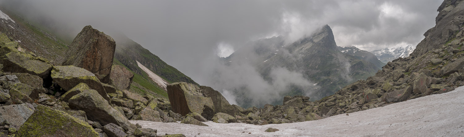
TraverseA view to the south from the ascent to the Plattenjoch. |
|
|
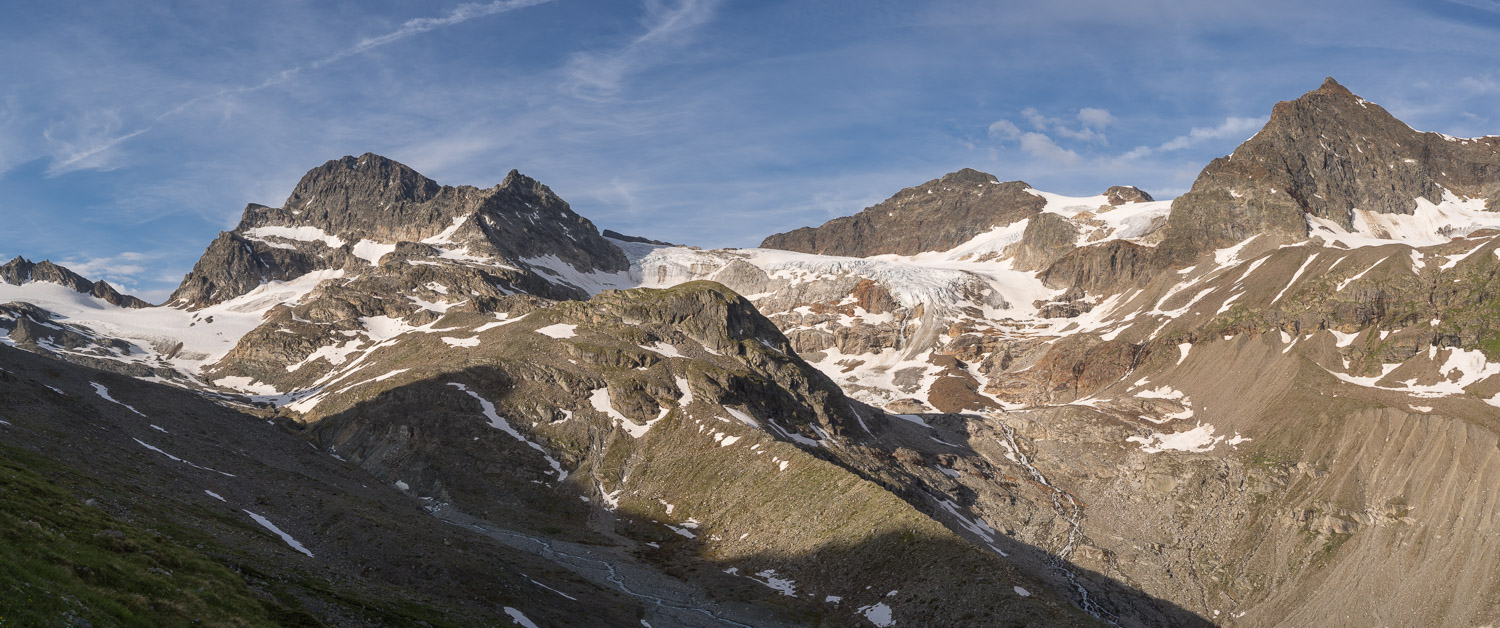
SeehornsThe Große and Kleine Seehorn with the See Glacier in between, seen from the Plattenjoch (2728 m). |
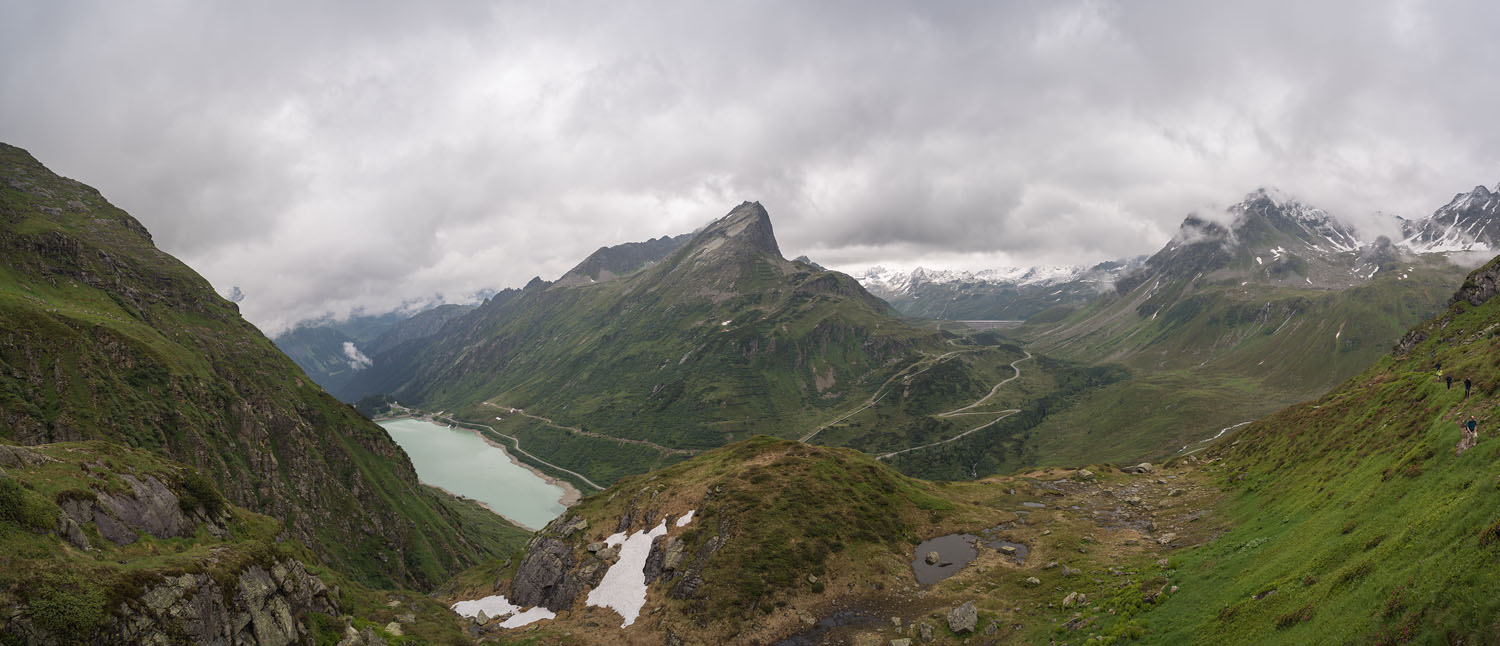
From PlattenjochSurprisingly, to the other northern side it looks greener, but the weather turns in on us. |
|
|
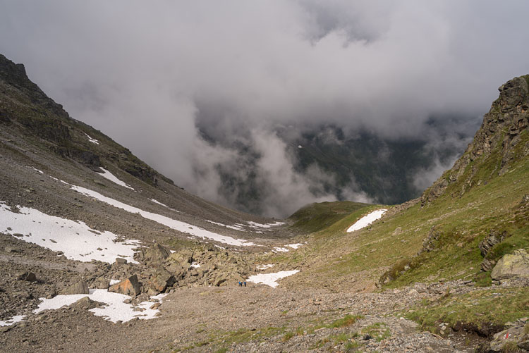
AscentBack down goes the look at our way to Hochmadererjoch. |
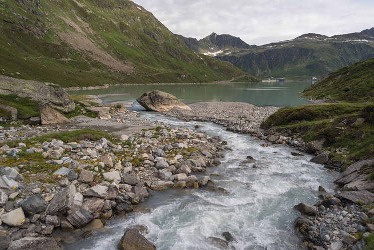
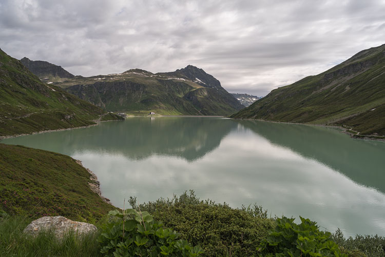
HochmadererThe Hochmadererjoch (2505 m) on the left with the Hochmaderer (2823 m) and the Silvretta dam below. |
|
|
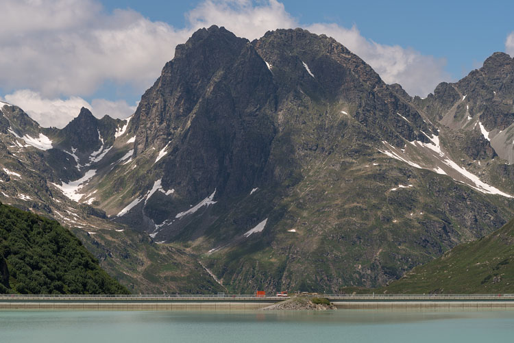
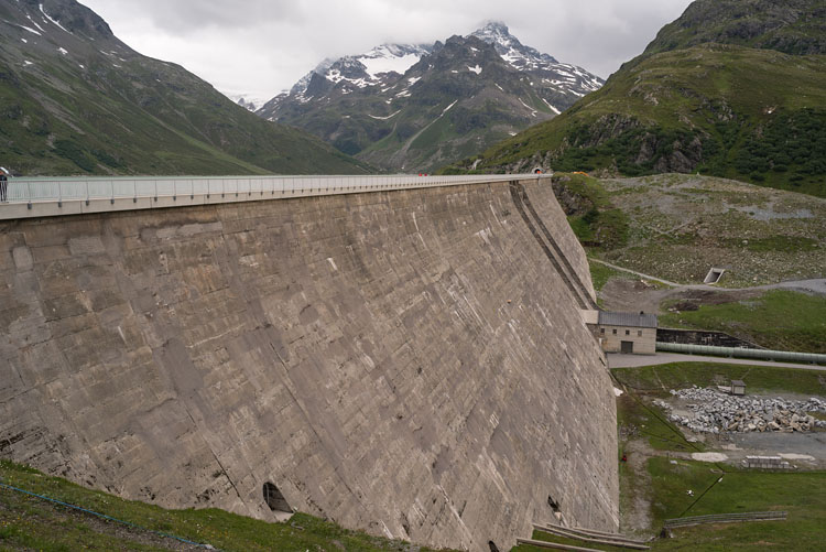
DamThe 80 m high Silvretta dam. |
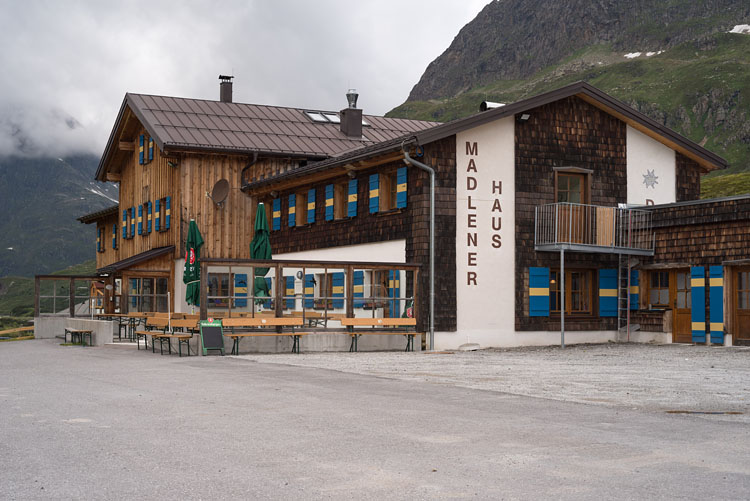
Madlener HouseA comfortable hut directly underneath the dam. |
|
|