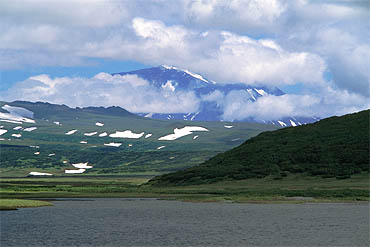
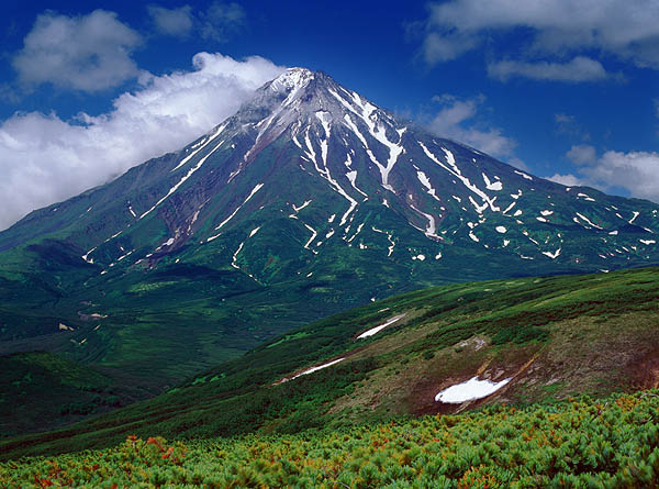
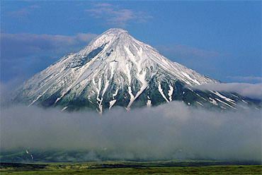
To Opala


Mutnovsky

From the Tolmachevskoe Lake, about 40 km away from the volcano. The Mutnovsky is 2,322 m above sea level, whereas the lake's elevation is only 646 m.

Gorely

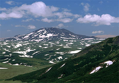
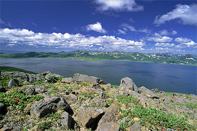
Also seen from the Tolmachevskoe Lake. We started our tour in the caldera of Gorely, which was still under a thick cover of wet melting snow. These circumstances combined with bad weather made us walk a little faster down to the lake.
Mutnovsky Gorely


Asacha

Asacha is the next high mountain south of Mutnovsky. The remainder of an old extinct volcanic range reach up to an elevation of 1,909 m and are mostly hidden by clouds in this photograph taken during the evening hours in mixed weather.

Opala in sight

The view of Opala was blocked by some mountains for a long time, but finally it was sighted while we were crossing the slopes of Utes mountain near the lake shore.
Asacha Opala


Opala

Opala is the most western volcano and 2,460 m high. The last big eruption happened some hundred or maybe even more than a thousand years ago on the southeastern flank. Some reports of smaller eruptions during the last centuries come without any scientific evidence. The summit crater is old and eroded.

Opala


Fresh snow has fallen onto the upper slopes of Opala during night.

Fresh snow


Tolmachevskoe Lake

The water from the western flank of Gorely feeds this lake. It may now cover an area of about 30 sqkm after a new dam on the Tolmacheva River has led to additional flooding.

Power plant

A new hydro-electric power plant is part of a program for local energy sources. In summer of 2002 the main dam was already completed, but two other smaller plants further downstream were still in construction.
Tolmachevskoe Lake Power station


Malki

After the tour we hitchhiked to the hot springs of Malki for a warm bath. The weather had been below average for all the time and even here some black clouds tried to drop their wet load on us, but missed the target. The shot at the rainbow, however, was dead-on.


Rainbow


HOME