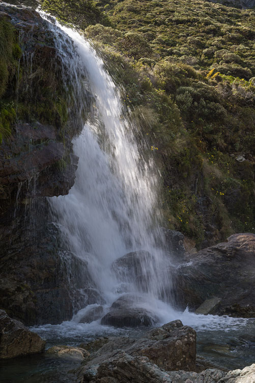
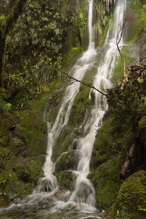
New Zealand Alps


Rees Valley

At the beginning of the Rees Track the valley is wide and flat and serves as pasture with boggy patches in places. The Mt Aspiring NP starts further up when the flats end and the track enters forest.

Rees Valley Rees River


Ferns

Different fern species give the forest a unique and alien look when compared to European woodlands.

Fern Ferns


Inside NP

Never mind the rainy weather, there's always a chance of catching a good photograph in a wild area.
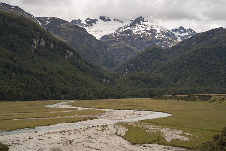
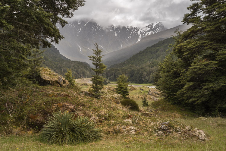
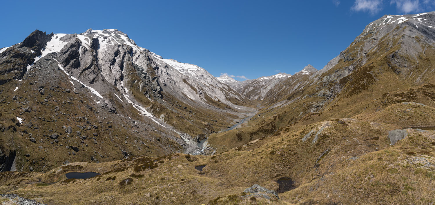
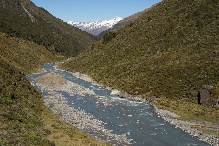
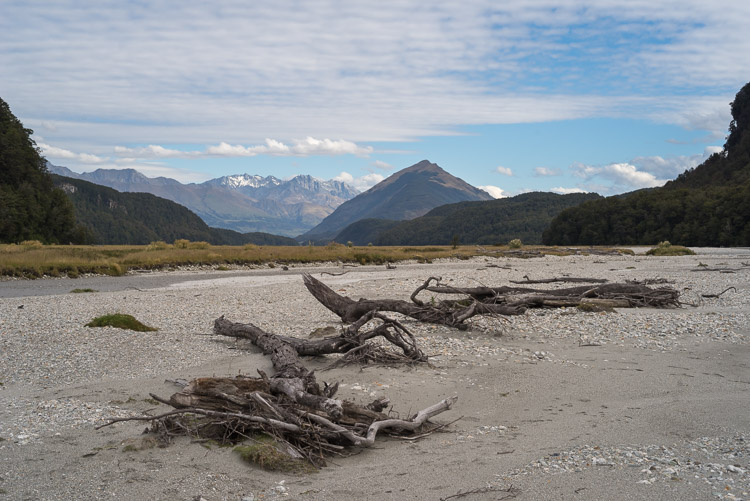
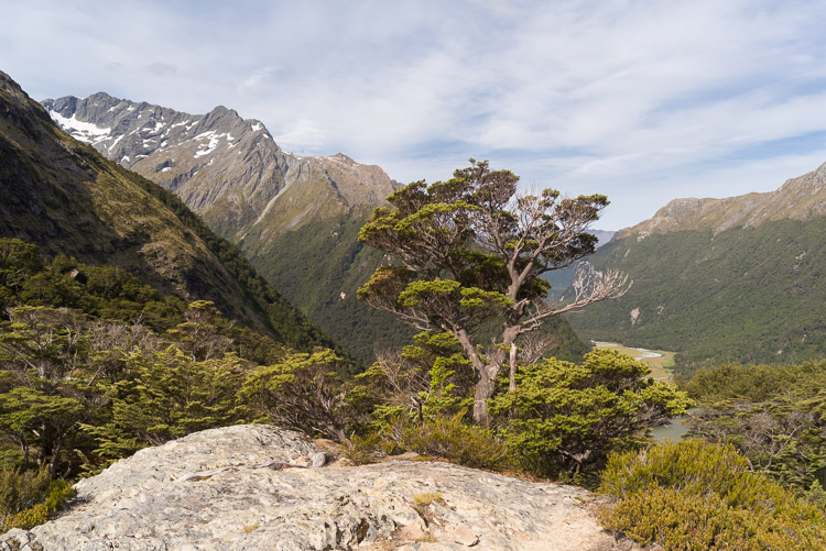
Above treeline

The Rees Valley near Shelter Rock Hut, where the alpine part of the track begins.
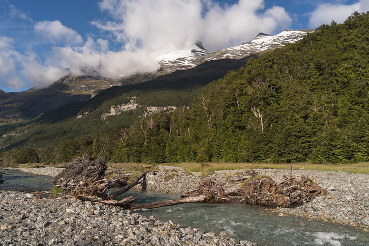
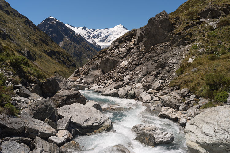
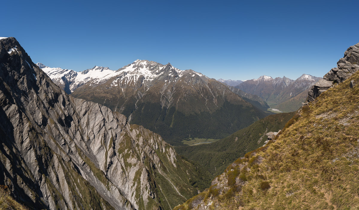
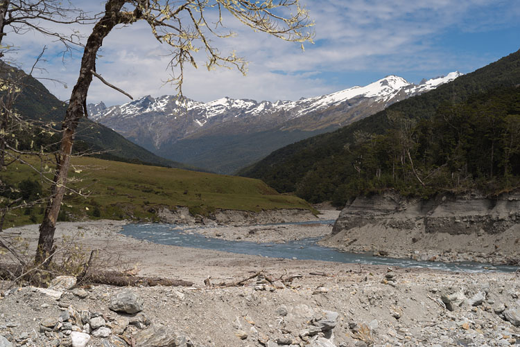
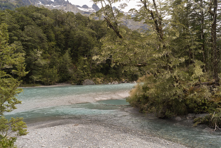
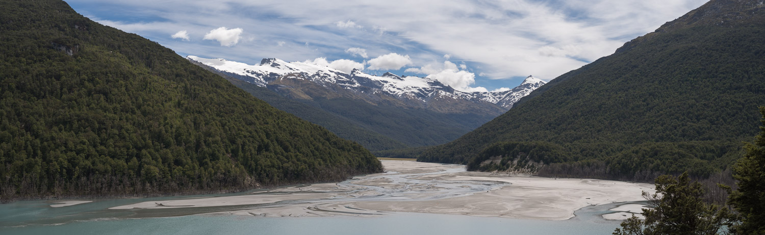
Rees Valley Rees River


Upper Rees Valley


Upper Rees Valley Upper Rees Valley


Rees Saddle

The 1471 m high saddle invites for a break. The view goes into the upper valley of the Snowy Creek with the 2510 m high Headlong Peak.

Rees Saddle


Snowy Creek

Following down Snowy Creek we catch a first glimpse of the Dart Valley in the distance.

Hut

The Dart Hut again is located in forest. Hut and campground are separated by a river and linked by a bridge.
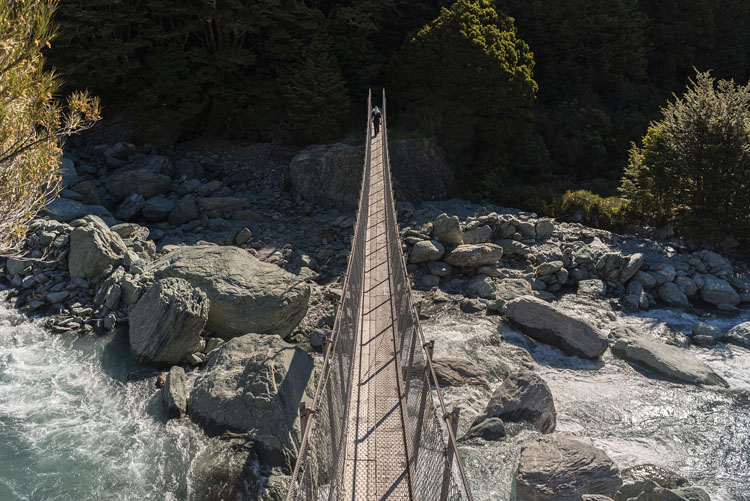
Snowy Creek Near Dart Hut


Bridge

The bridge between Dart Hut and campground.

From bridge

Looking down from the swinging suspension bridge.
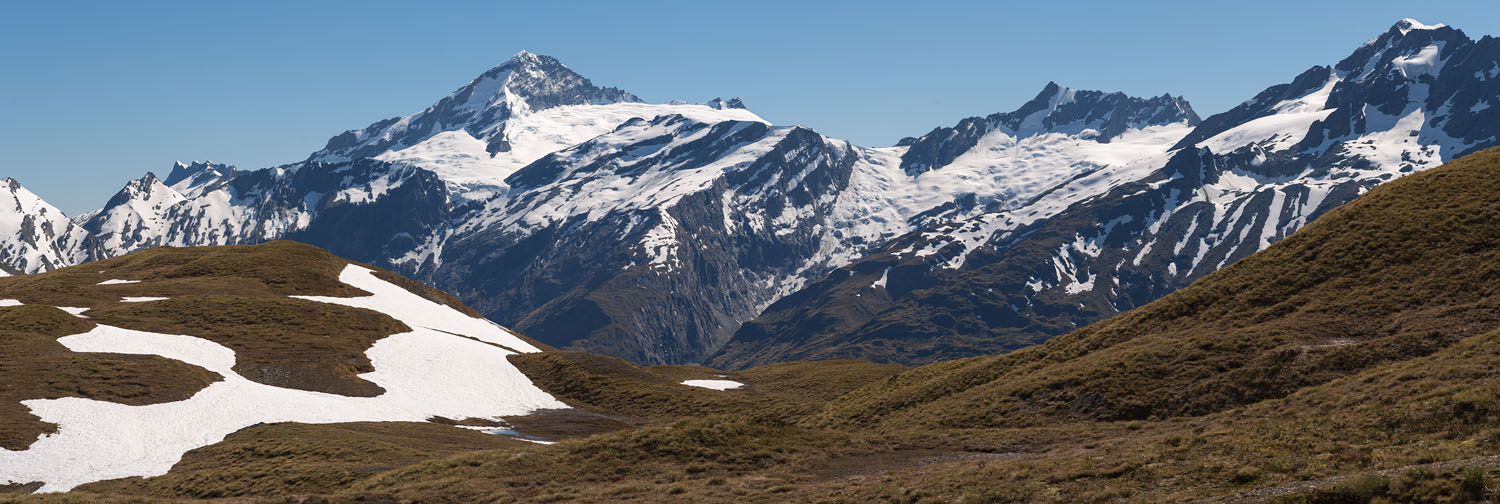
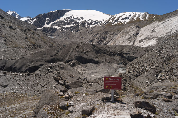
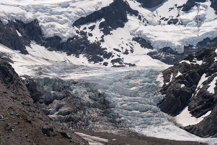
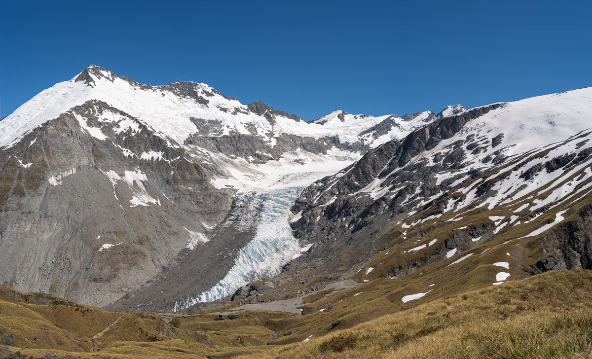
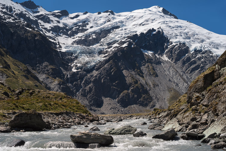
Bridge near Dart Hut Near Dart Hut


Inside Dart Valley

A heap of ice marks the presence of a hanging glacier above on the walls.

Inside Dart Valley


Dart Glacier

The dirt-covered melting terminal of Dart Glacier shows the usual signs of global warming. Higher up the mountain, ice falls over a cliff.

Dart Glacier Terminal Dart Glacier Icefall


North-West

The flanks of Mt Edward (2620 m) contribute most of the dirt on Dart Glacier. From Cascade Saddle (1524 m).

Dart Glacier from Cascade Saddle


South-East

The other, steeper side of Cascade Saddle leads into the Matukituki Valley.

Matukituki Valley


Kea Attacks

Keas roam the alpine parts of the mountains. Their entertaining qualities soon become harassing when they keep you alert till last light. Anything left outside the tent is subject to inspection, disassembling/destruction, and relocation/vanishing.

Kea on snow Kea


Kea on Cascade Saddle

Right under my nose this Kea peeks into the camera bag and searches my pack like a customs officer. Their respect for the human race is low.

Kea and camera bag Kea raiding backpack


Mt Aspiring

This is the mountain range that gave the national park its name: Mt Aspiring (3033 m).

Mt Aspiring Range


Glaciers

The southern slopes of Dart Valley are all covered with glaciers, among them the Hesse Glacier.
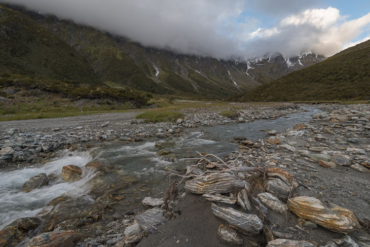
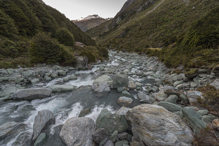
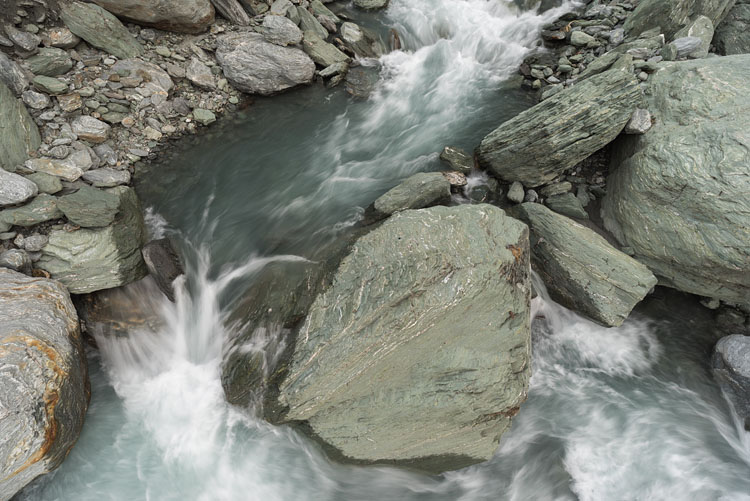
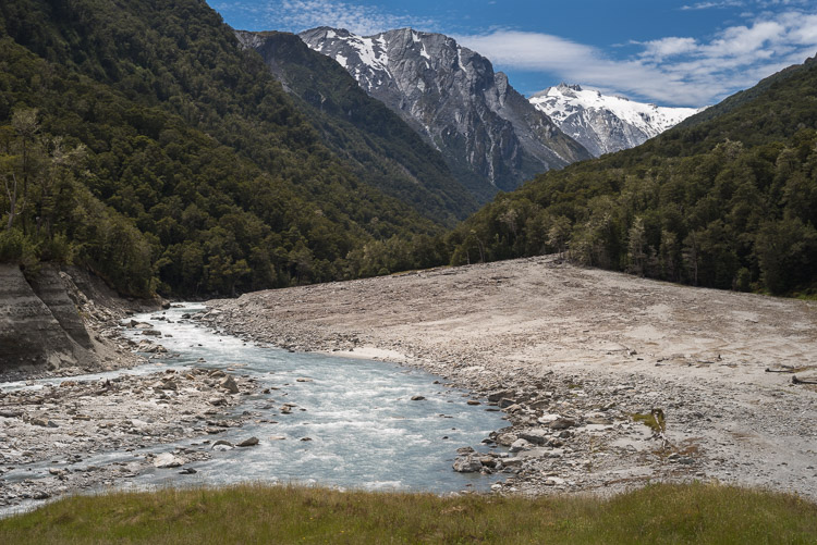
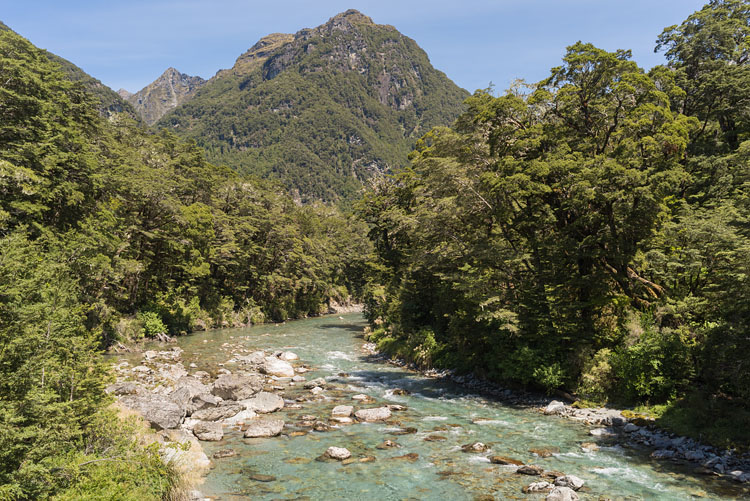
Dart River

At a point not far from the Dart hut and just above the tree line.
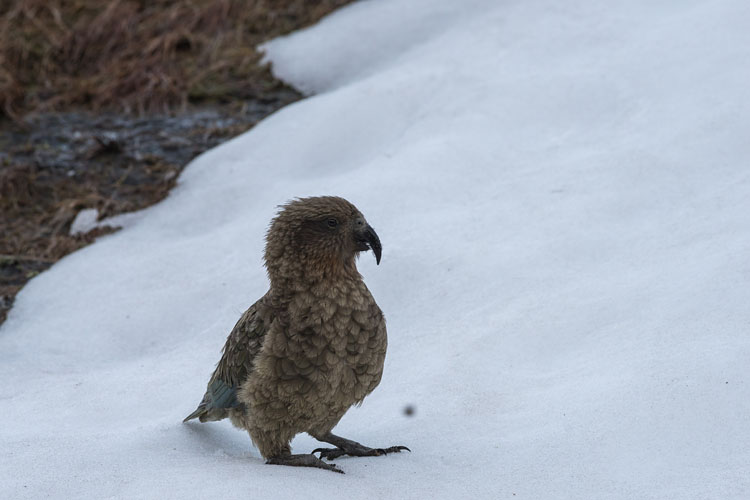
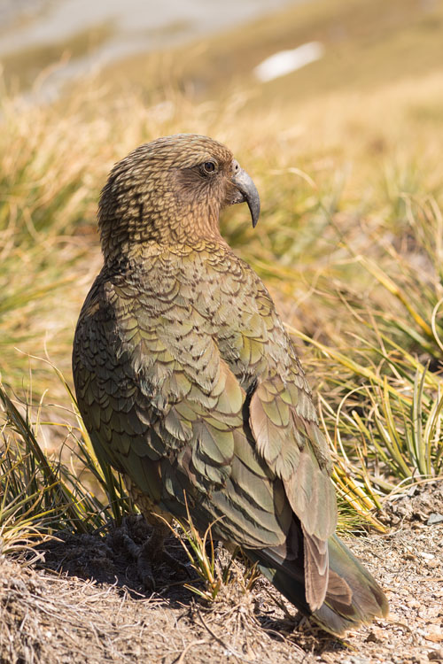
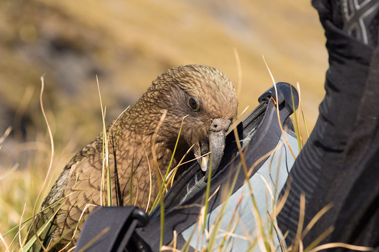
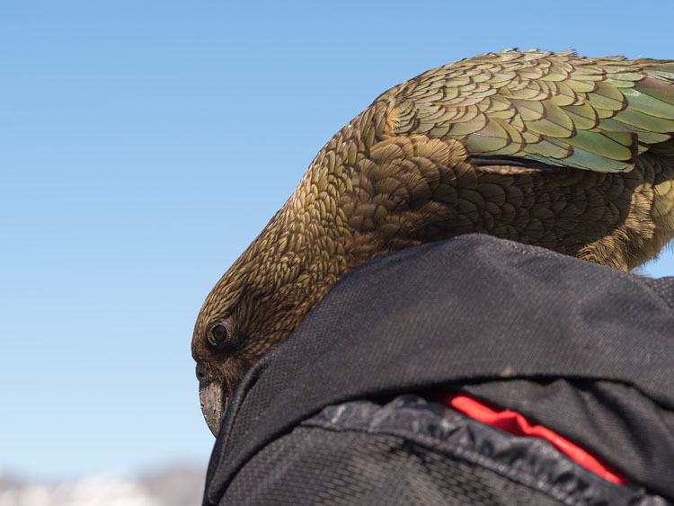
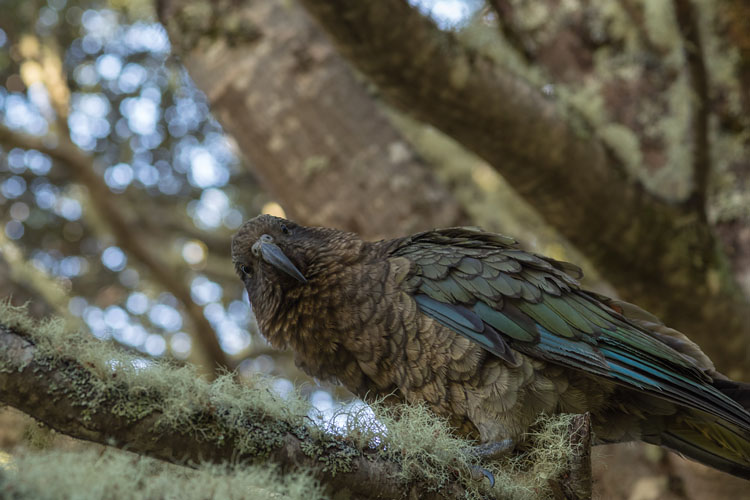
Mt Edward Dart River


Kea again

This exemplar was raiding the Dart hut campground and has a guilty look in its eyes.
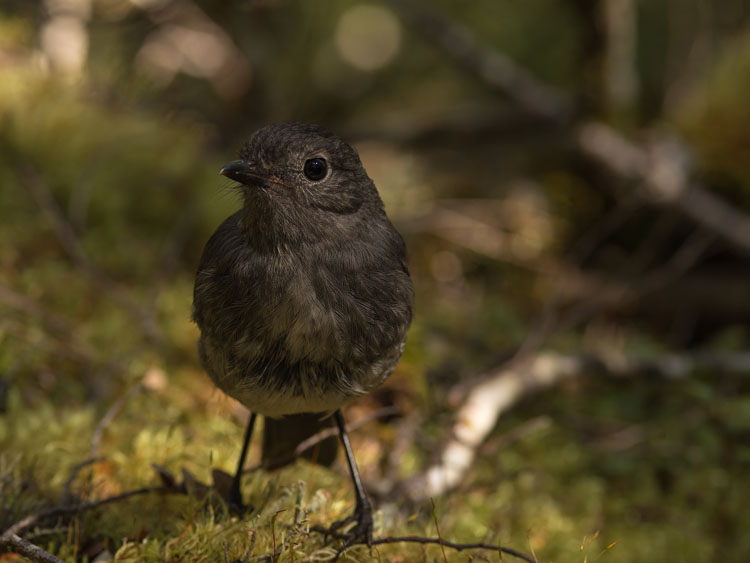
Robin

More curious birds live in the New Zealand woods. The curiosity of the South Island Robin borders on craziness.
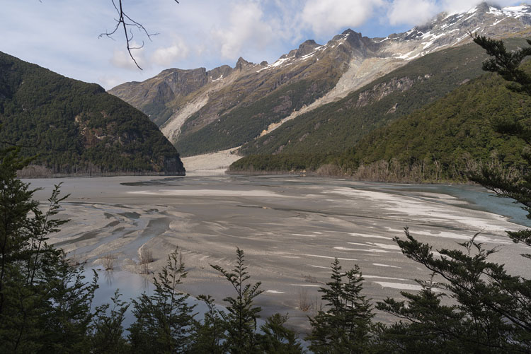
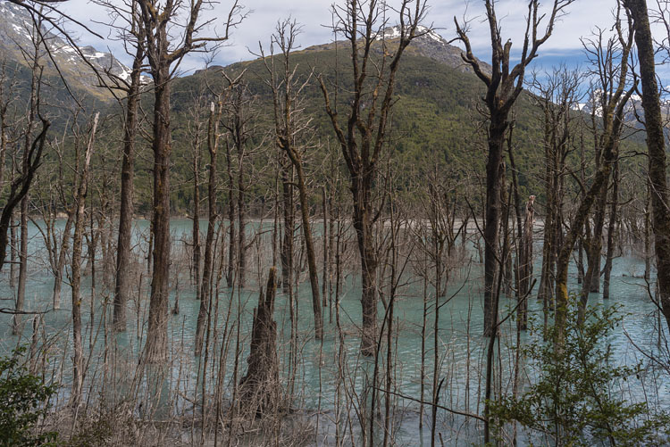
Kea South Island Robin


Dart Valley

Before the territory became a national park, flat places of the valley were used as pastures, hence the name Cattle Flats.

Dart Valley Dart Valley


Dart Valley

The long Cattle Flats again, easy going for the most part, but up and down across the many small tributaries. On the left a more substantial one.

Cattle Flat Dart River


Landslide

Mechanical failure, earthquake, whatever the cause, the ground slipped down the slope. Once the stabilizing vegetation is gone, erosion continues over a long period.
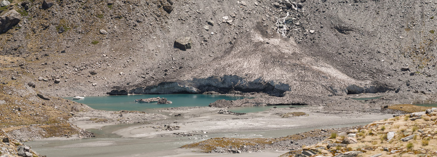
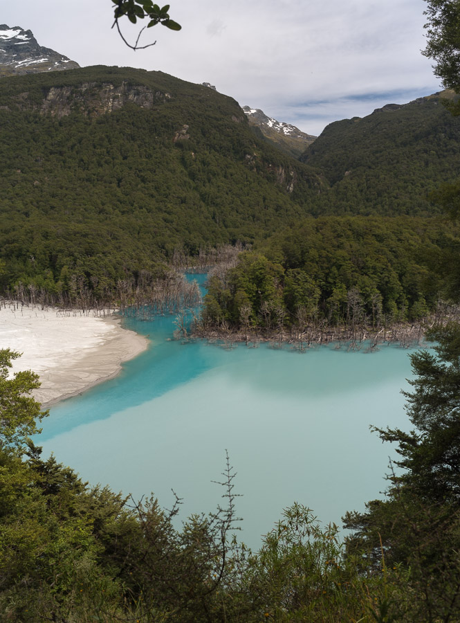
Dead trees

A lake has formed behind the debris. The rising water level has killed many trees.
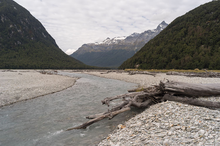
Landslide Dead trees


Dart Valley from Sandy Bluff

Opposite to the landslide is a rock called Sandy Bluff with a nice view over the valley.

Dart Valley from Sandy Bluff


Blue on blue

Directly before the natural dam another river flows into the Dart. The clearer water produces a darker shade of blue, greeted by the opaque Dart laden with glacial silt.

Lake caused by landslide


End of Dart track

The wide flats before Chinaman's Bluff are perfect for a last camp.

Near Chinaman's Bluff Near Chinaman's Bluff


Next

Just a short drive away, our next track, the Routeburn, starts with a bridge across the river.
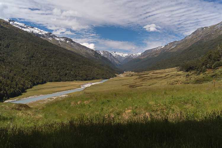
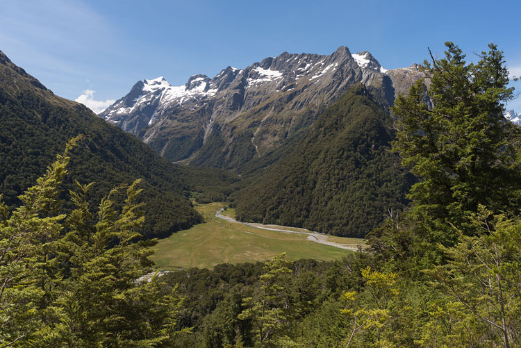
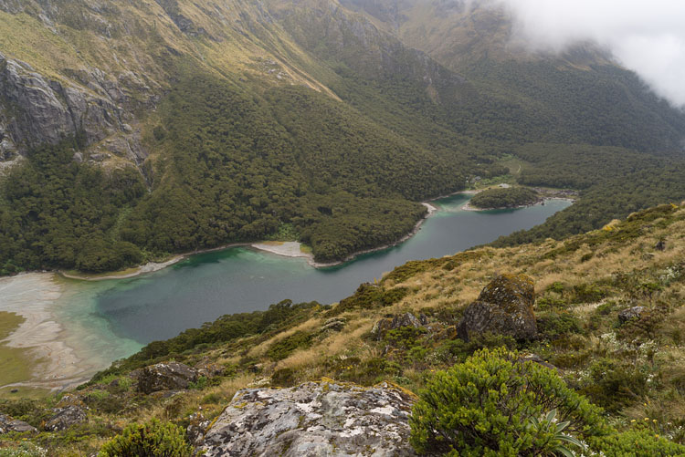
Routeburn Flats

Already higher up, we are looking down at the Routeburn Flats, after having bypassed the hut.
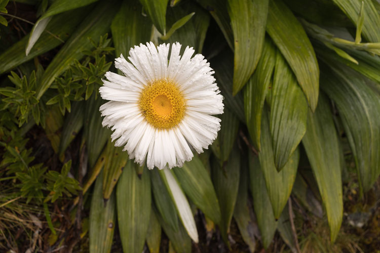
Routeburn River Over Routeburn Flats


Routeburn River

This track is a so-called Great Walk. Despite the high price, the huts are crowded. Thanks heaven everything is managed at a high level.

Routeburn River


Routeburn Falls

Our objective of day one was the Routeburn Falls Hut. Here the weather got inspired by the waterfalls.

Routeburn Falls Routeburn Falls


From falls

One last view from above the hut in sunny weather...

Flower

...and on the next day the only remembrance of the sun were the Daisy flowers.
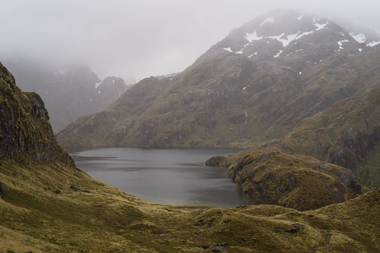
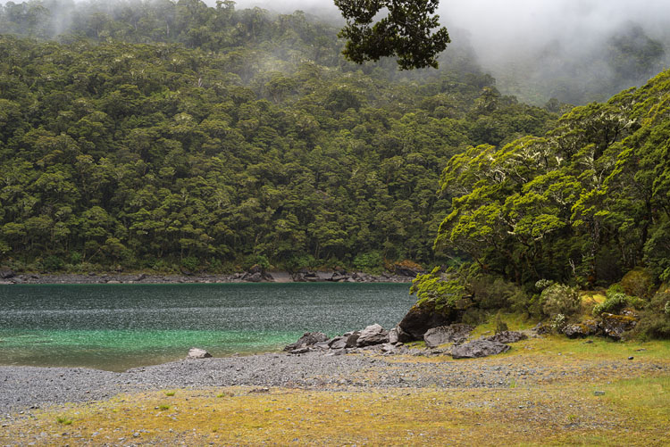
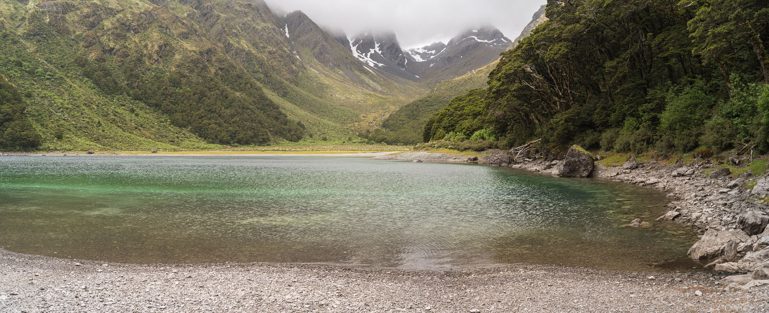
From Routeburn Falls Hut Buttercap


Lake Harris

Located before Harris Saddle (1255 m), here in a misty drizzle.
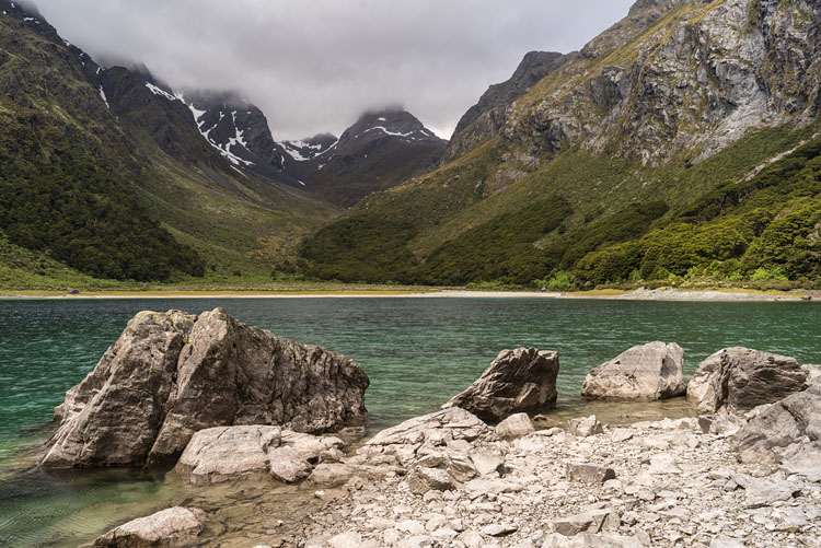
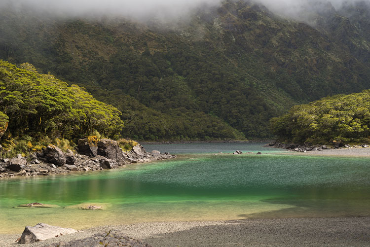
Lake Mackenzie

The fog just lifted a bit and revealed this beautiful lake.
Lake Harris Lake Mackenzie


Near campground

Lake Mackenzie near the campground. In spite of the many people walking around, the landscape presents itself in an almost virgin state.

Lake Mackenzie Lake Mackenzie


Near hut

The intense colors of the surrounding forest turn the water green.

Lake Mackenzie Lake Mackenzie


Beach

A panoramic capture of the beach at the campground. Swimming is allowed, but no soap.

Lake Mackenzie


Water

The Fiordland National Park receives a constant blow of wet air from the Tasman Sea, resulting in extraordinary precipitation.

Waterfall Waterfall


Wet

With about 10000 mm of rain per year, everything is covered in moss. On a foggy day the forest is a fairytale.

Forest Forest


BACK