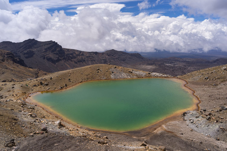
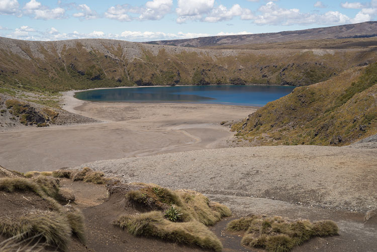
In this scene the lake is gray and goes along with the sky above. The lake fills an old crater.
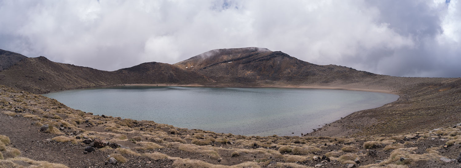
From Blue Lake
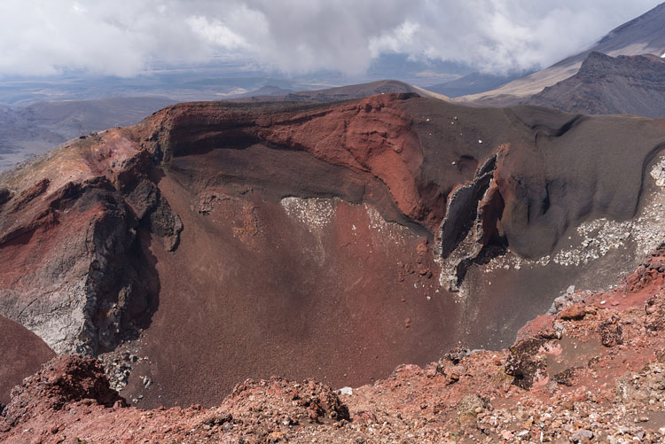
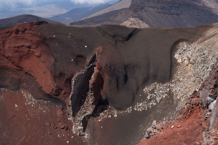
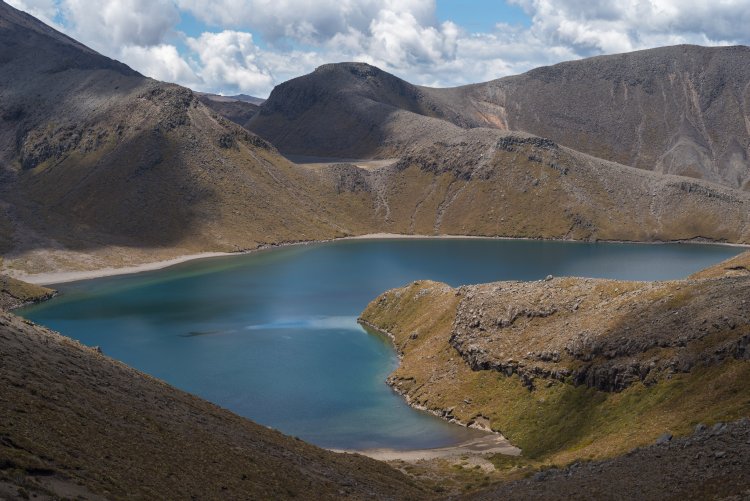
From the rim of Blue Lake the view goes across Central Crater to Red Crater, with Ngauruhoe behind. Central Crater is not of volcanic origin, but was carved out by glaciers.
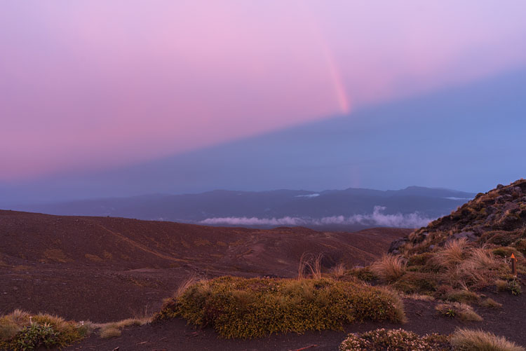
From Outere HutThe thunderstorm is over, the sun is setting with the rest of a rainbow still hanging in the air. |
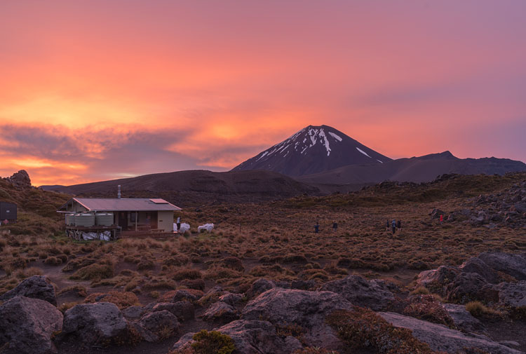
Outere HutThis hut is probably the most interesting on the Tongariro Circle, with both Ngauruhoe and Ruapehu in sight and the nearby Outere Valley as playground for a stroll.
|
|
|
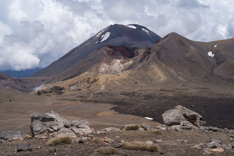
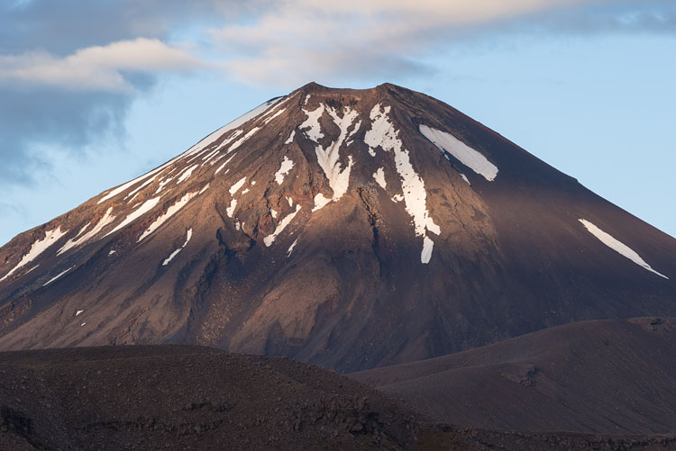
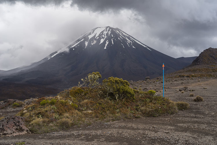
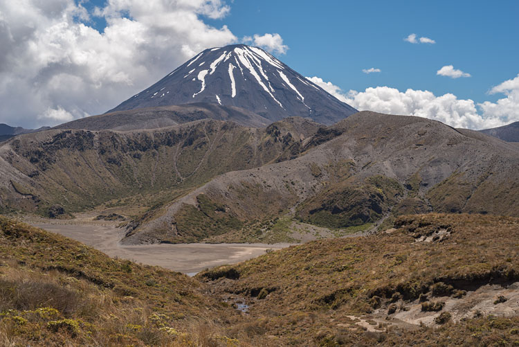
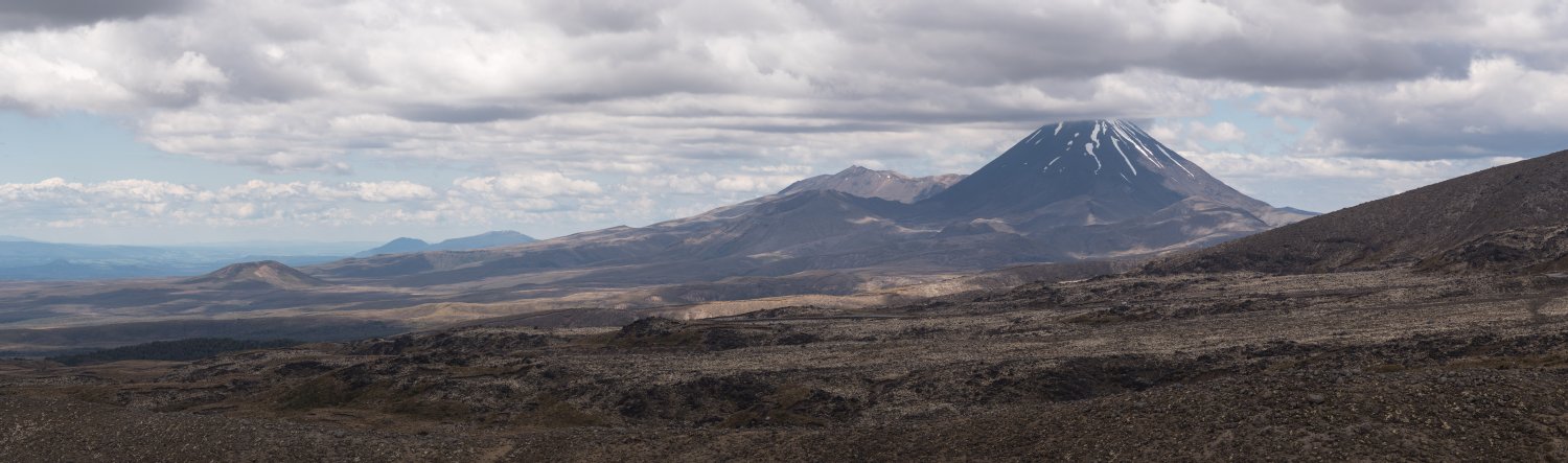
Ngauruhoe
The mountain is actually a part of the Tongariro volcano, by rule of geologists. This becomes more understandable when we look at the age: While Tongariro has grown over a hundred thousand years and formed a complex structure, baby Ngauruhoe is just a few thousand years old and was only able to grow to the perfect cone with glacial interference gone.
Ruapehu
Another complex volcano, which went through many periods over hundreds of thousands of years. On the summit plain is a crater lake with ever changing water temperature, a source of a constant threat of lahars. The last remarkable eruption took place in 1995.
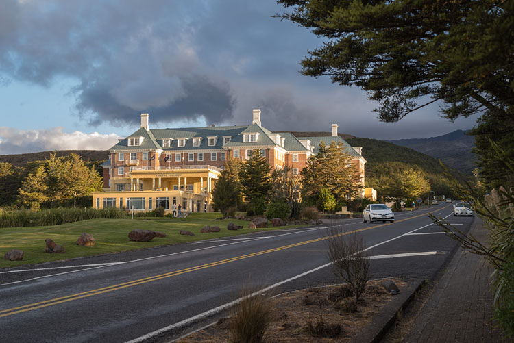
Weather
A blue sky is always welcome as long as you have a hat to shield you from the UV-rich New Zealand sunlight. However, normal weather also includes clouds, rain, and thunderstorms.
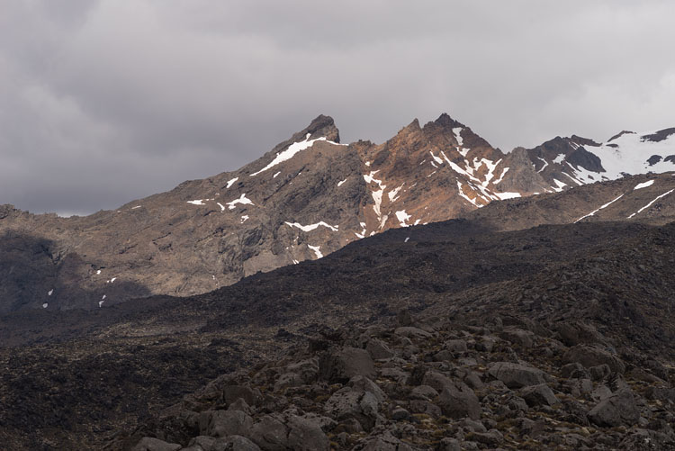
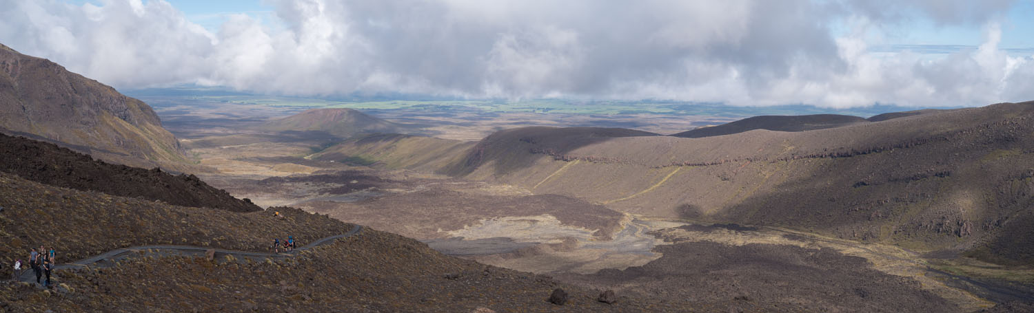
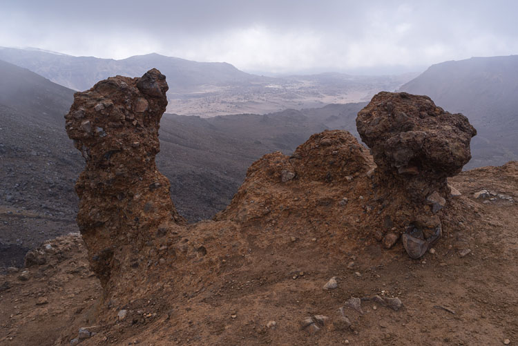
ErosionSomewhat harder volcanic sediments are left standing by water and wind, here on the ridge above South Crater, with the Outere Valley in the background. |
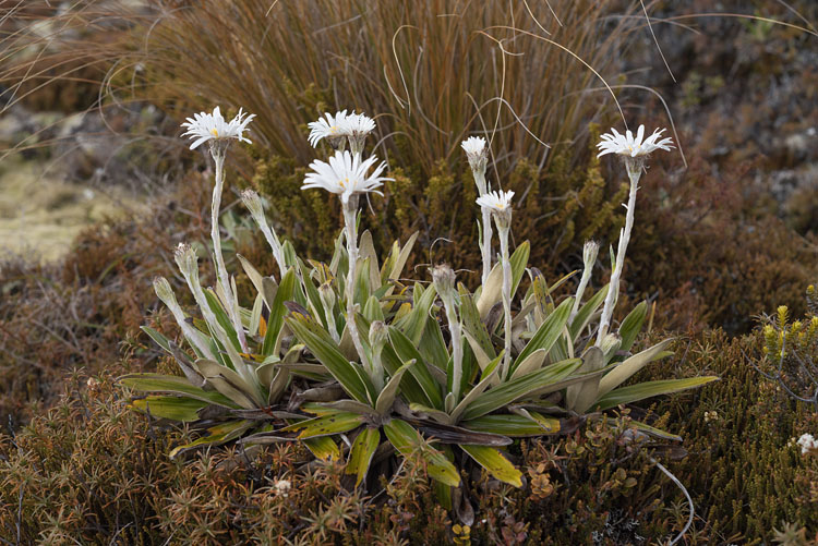
ButtercapSuch daisy flowers decorate the dessert-like volcanic soil in many places.
|
|
|
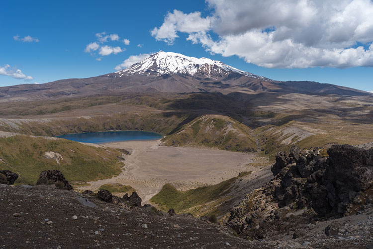
Tama Lakes
Two lakes, called Lower and Upper Tama, got blasted out of the volcanic soil a good 10000 years ago. These lakes are worth a day trip from Whakapaka for those, who didn't make it onto the Tongariro Circle.
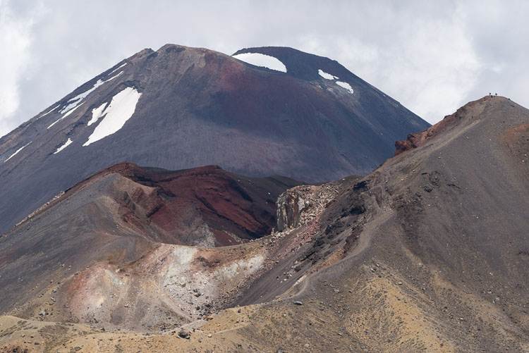
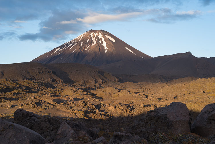
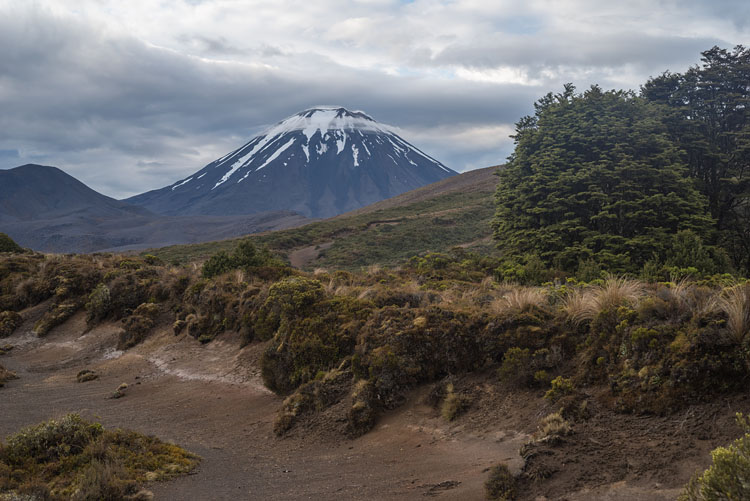
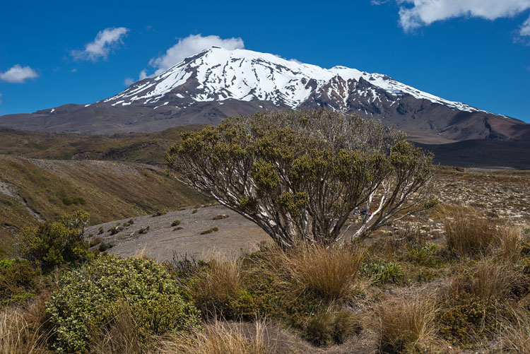
Ngauruhoe
Two views of this exemplary volcano. The 2287 m high mountain was very active in the last century, but after 1975 it took a break that is still lasting today. Ngauruhoe featured as Mt Doom in the Lord of the Rings movies.
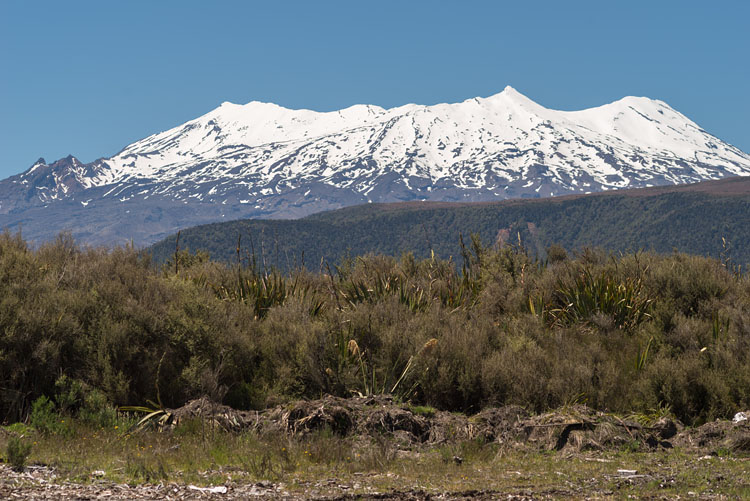
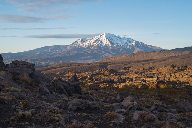
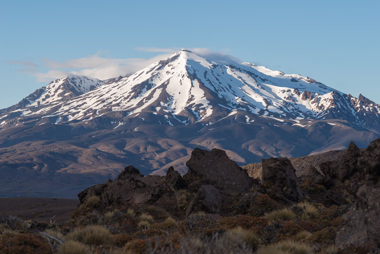
Ruapehu
It's the highest volcano in New Zealand with 2797 m and has also distinguished itself with historic eruptions, the last one in 1996. Since the crater hosts a lake during dormant periods, it causes additional trouble producing lahars, not only at the beginning of an eruption, but also years afterwards. The lake on the left photograph is the Lower Tama.
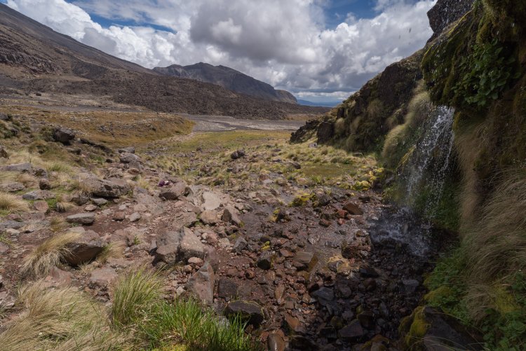
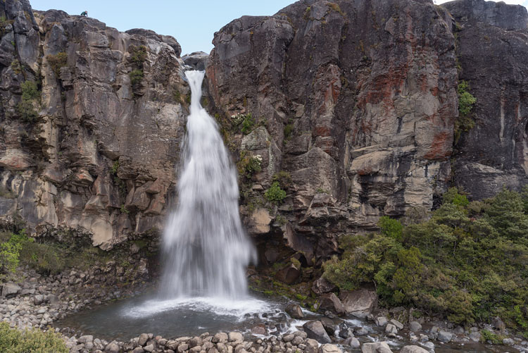
Taranaki FallsA waterfall about an hour from Whakapapa. |
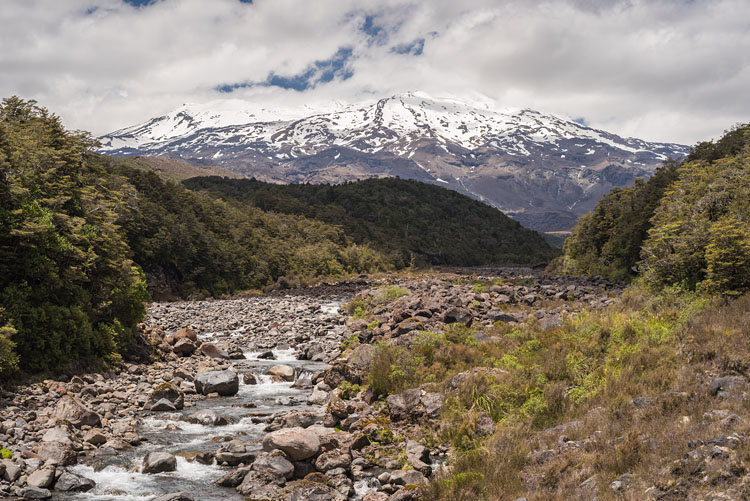
Whakapapaiti ValleyOne of the possible lahar routes in case of an eruption from Ruapehu's crater lake.
|
|
|
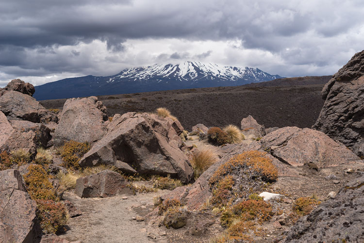
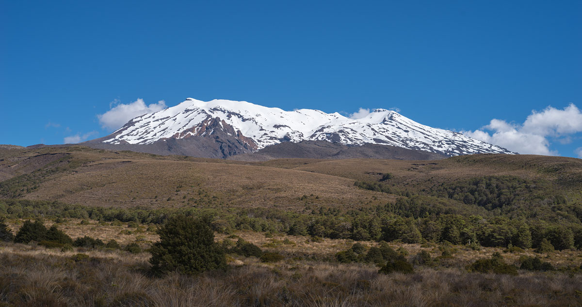
Snow
The slopes of Ruapehu are still covered by snow in December, a time that corresponds to June on our half of the globe. This snow is also the basis for the ski areas around the volcano.
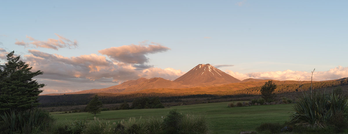
From Whakapapa
The Tongariro massif with the dominating cone of Ngauruhoe as seen from the village. The green grass in the foreground is a golf course.
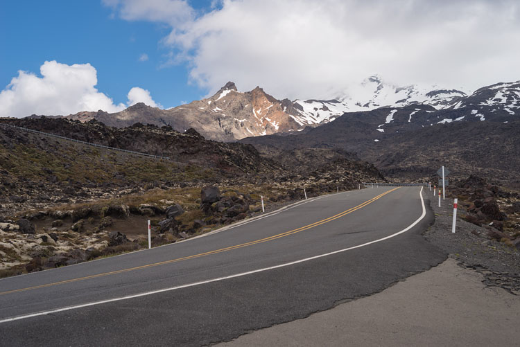
From Bruce Road
Almost the same view as in the image above, but from further on up the road. And in different light.
BACK