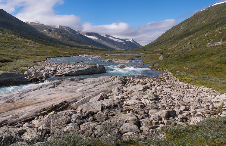
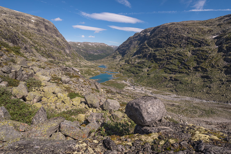
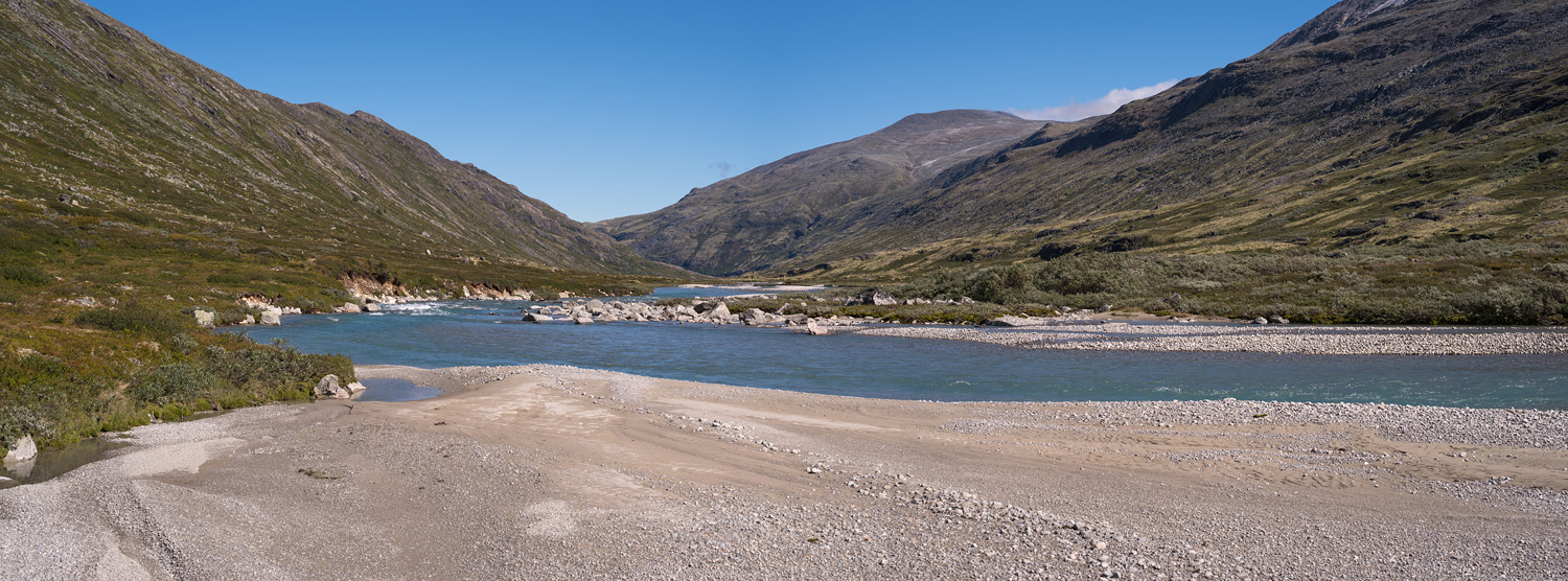
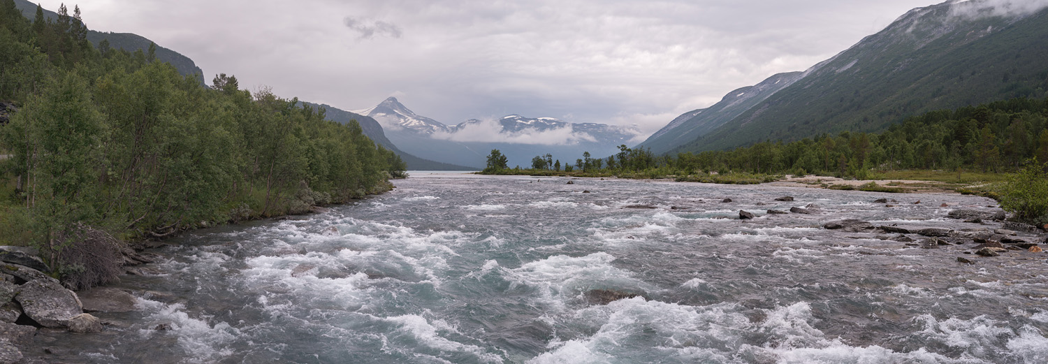
The panoramic view of the valley and river. Downstream.
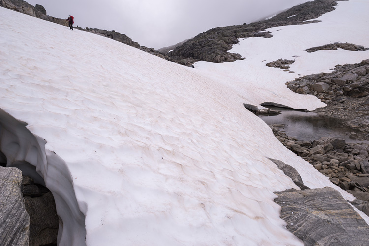
VesldalenThe easy going in the valley is history; now it's on stones, up and with deteriorating weather over us. |
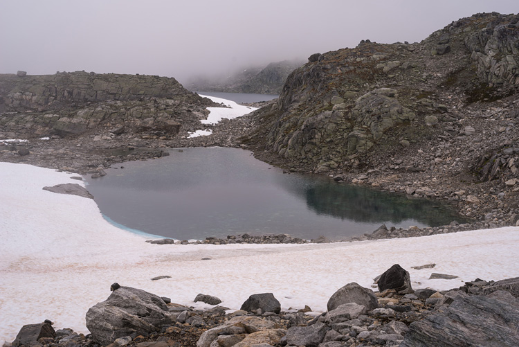
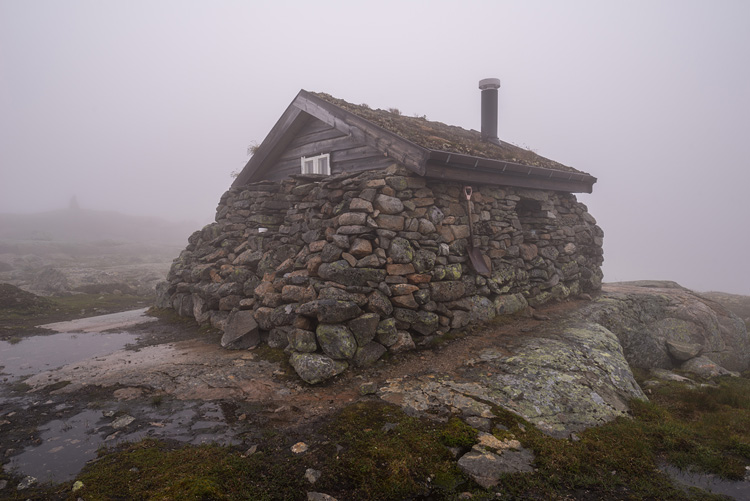
HutMedalsbu is a solid but padlocked hut made from stones (there are enough left to walk on). Visibility is nil.
|
|
|
MiddalenDown we go towards Nørdstedalseter, and we can see again. |
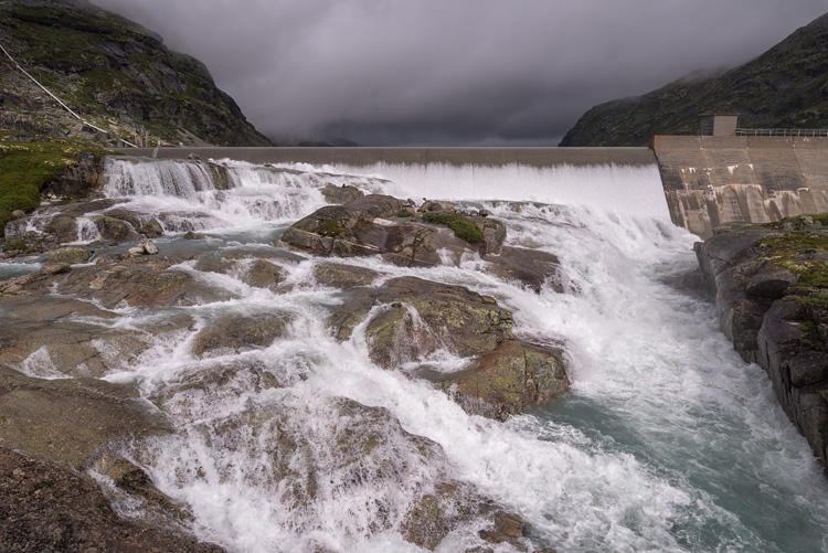
Fivlemyrane DamThe dam collects water for hydroenergy. Still, a lot of it seems to escape the system.
|
|
|
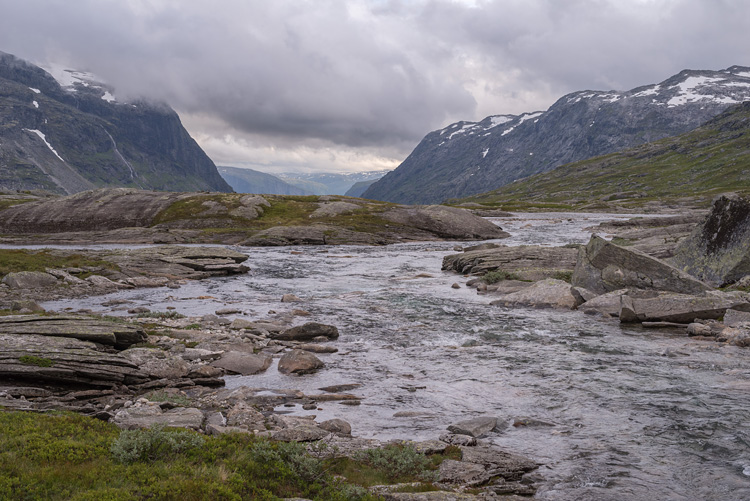
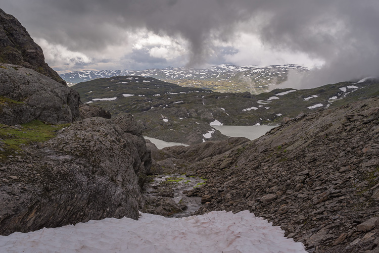
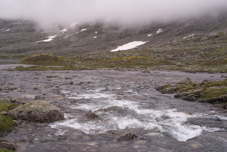
LeirvatnetAnd again we emerge from the fog after having crossed Gravdalen in bad weather. |
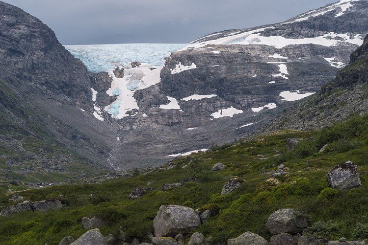
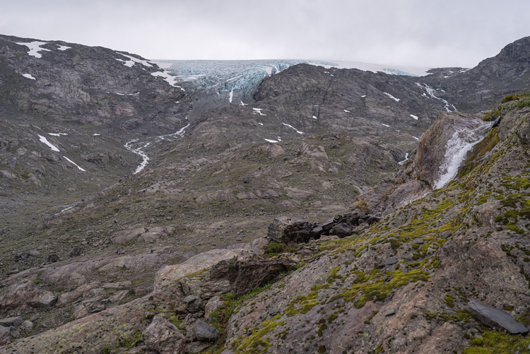
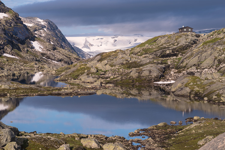
HarbardsbreenA tongue to the north was all we ever saw of this big glacier. For a few minutes.
|
|
|
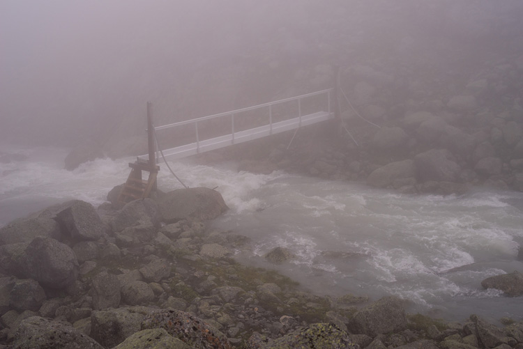
FogThis is the bridge at the outflow of Leirvatnet, called Nobbelvi. |
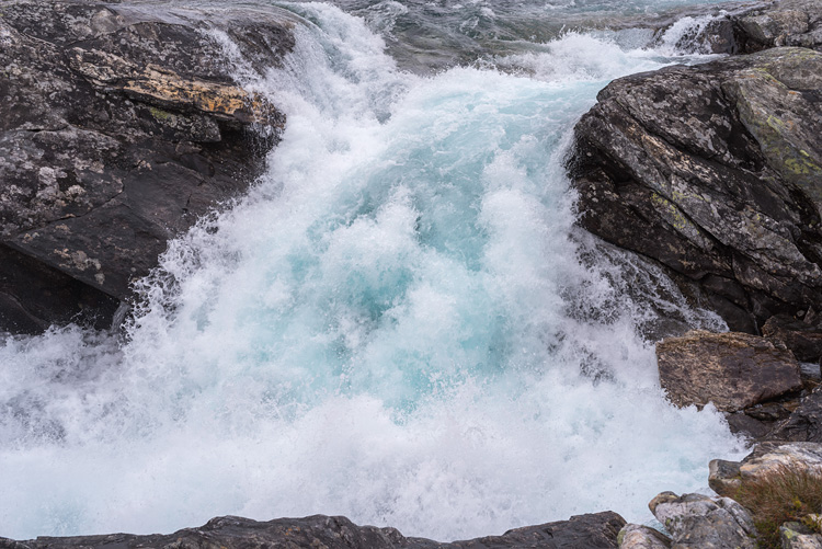
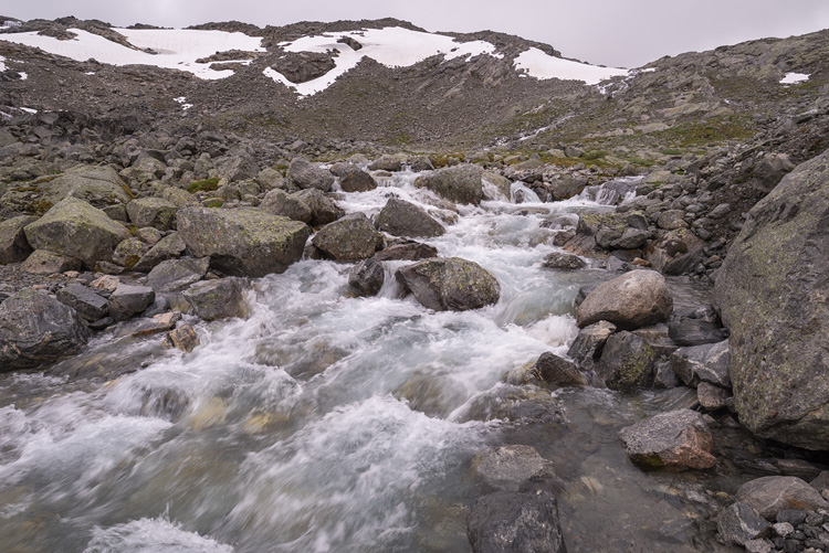
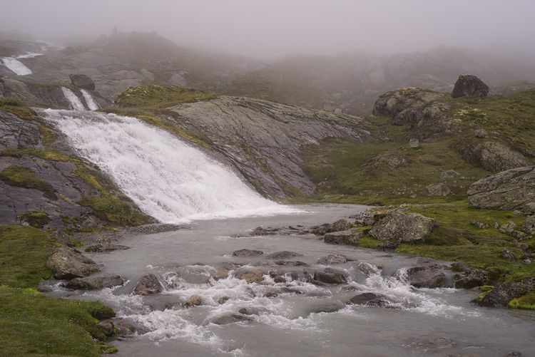
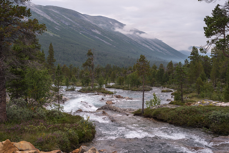
WaterfallA river called Løndøla served as a landmark during yet another walk in fog.
|
|
|
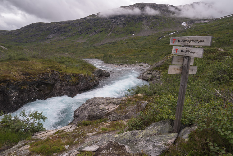
Rausdøla
A bridge leads across this river near the Arentzbu hut.
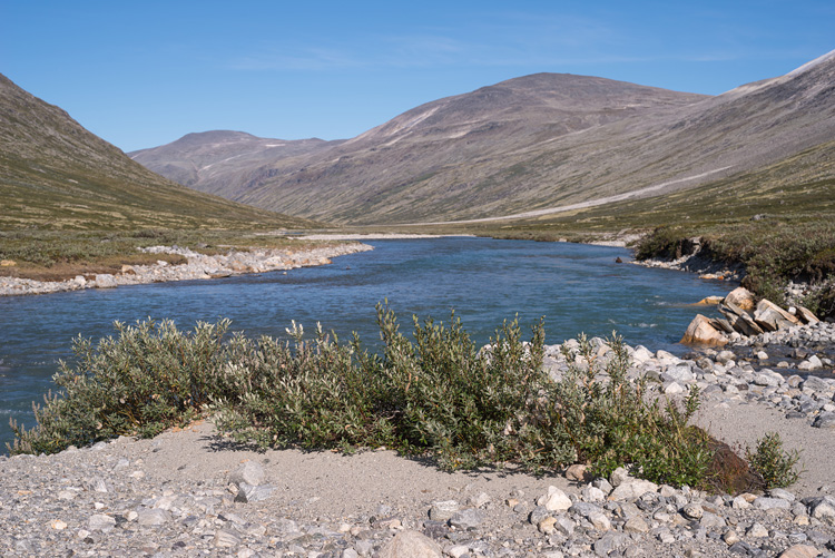
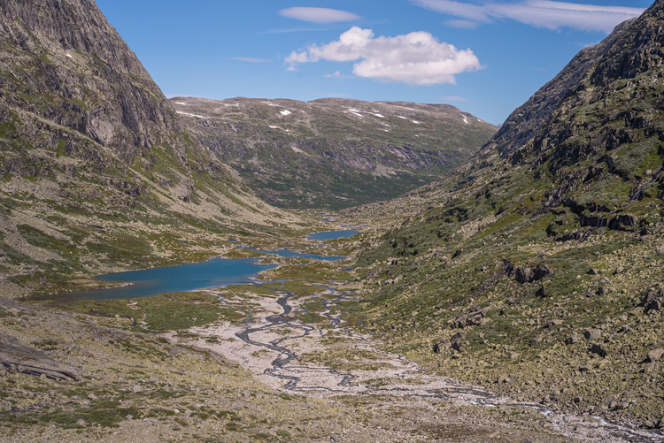
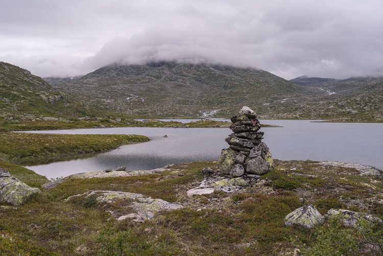
LakesThe fremsta Rausdalsvatnet, one lake in a row of many in Rausdalen. |
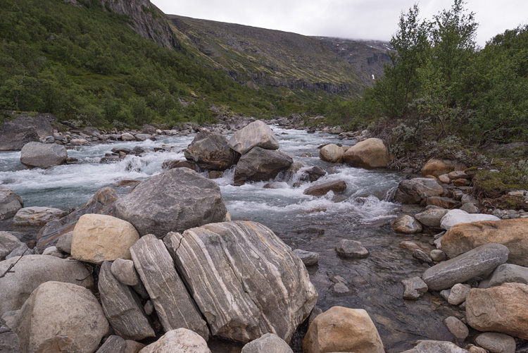
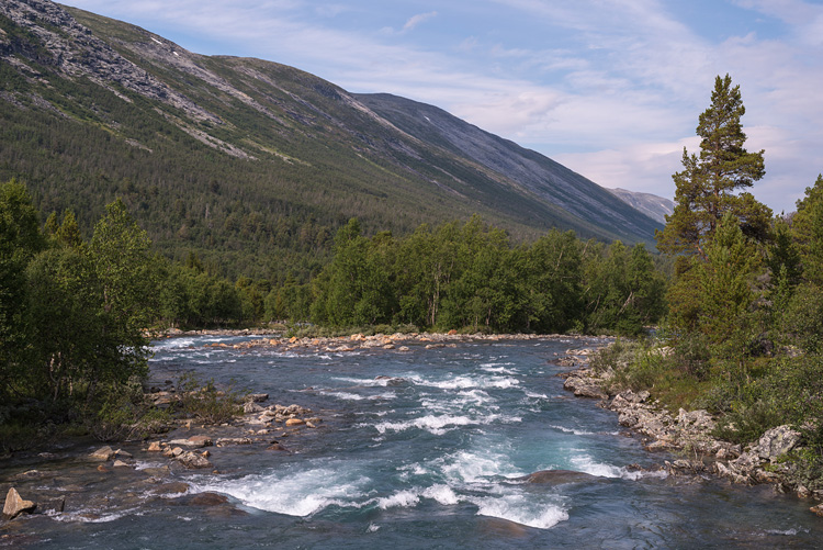
RiversGreindøla is the name of this one.
|
|
|
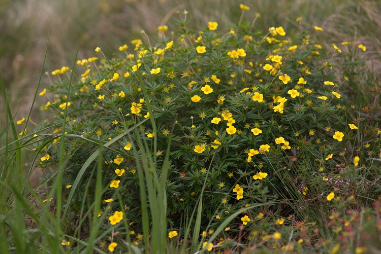
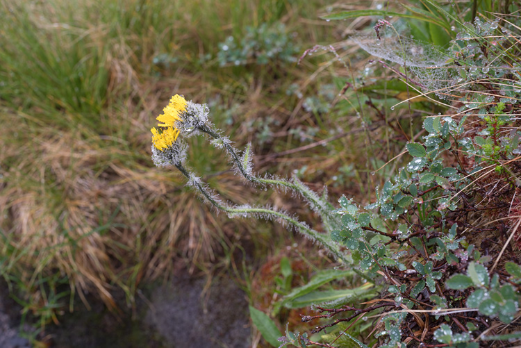
Flowers
In August there are not many.
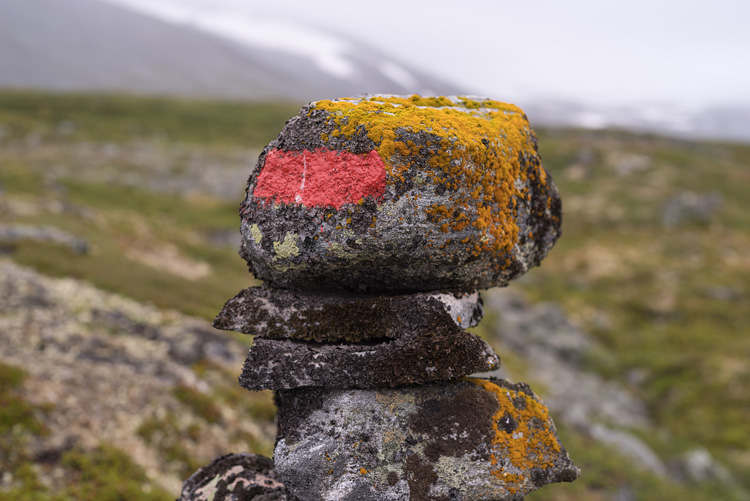
Gluggevard
Crawling over this pass was a tiresome experience due to the fog and rain, and the thick end was a difficult descent down to Sprongdalen.
SprongdalshyttaWe didn't even bother checking out the hut and found ourselves a place nearby. |
SunFinally, the sky awarded us a sunny day. Just one.
|
|
|
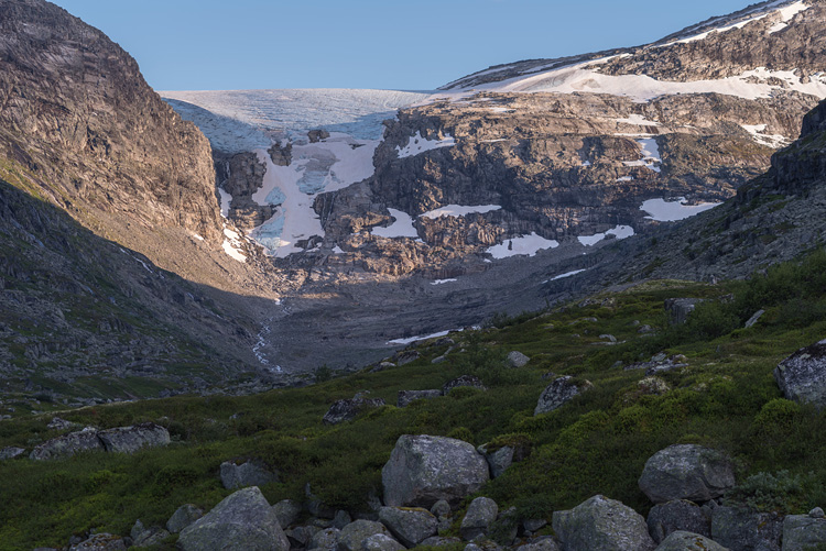
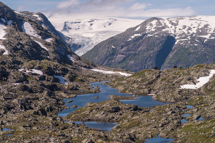
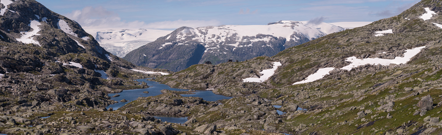
Glacier
The big glacier in the background is the Jostedalsbreen, the biggest glacier on continental Europe.
Sprangdalen
A downward left turn from Sprongdalen, and we entered the Sprangdalen.
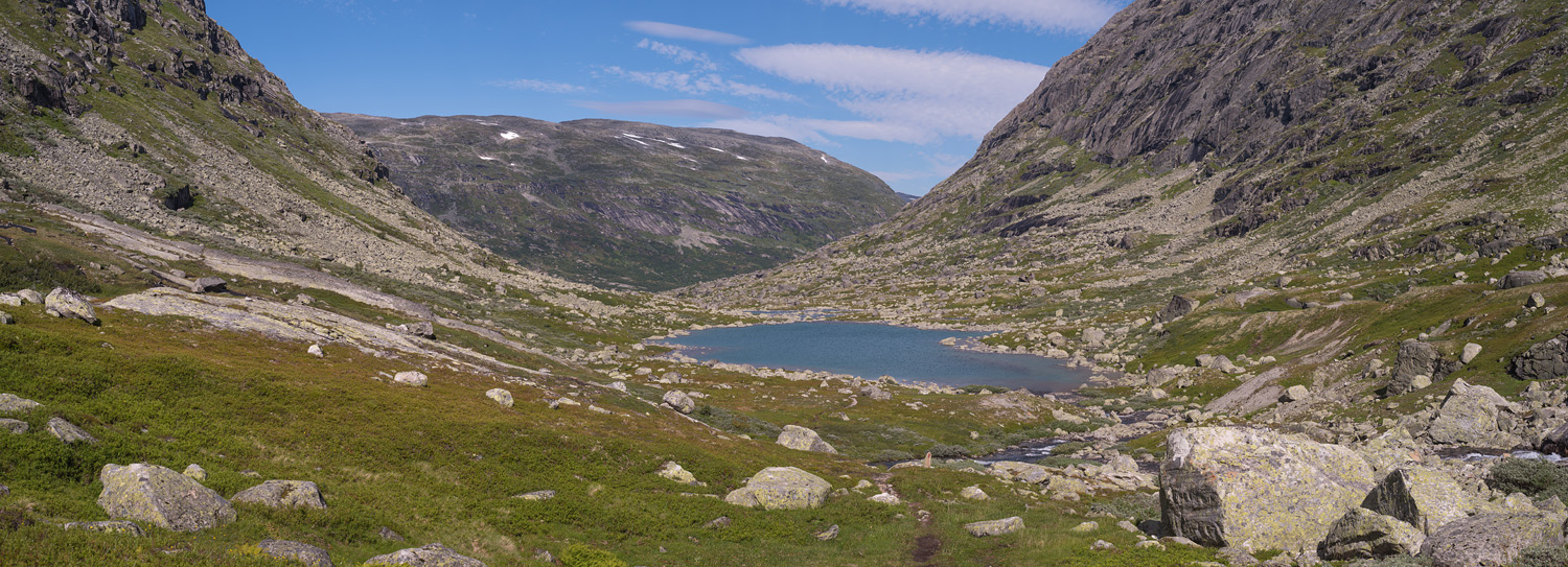
Valley
The first of four small lakes, all of them without name.
Greinbreen
These are the evening and morning views from our camp along Sprangdalen at a small tongue of Greinbreen.
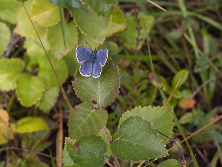
ButterflyCommon blue butterfly (Polyommatus icarus). |
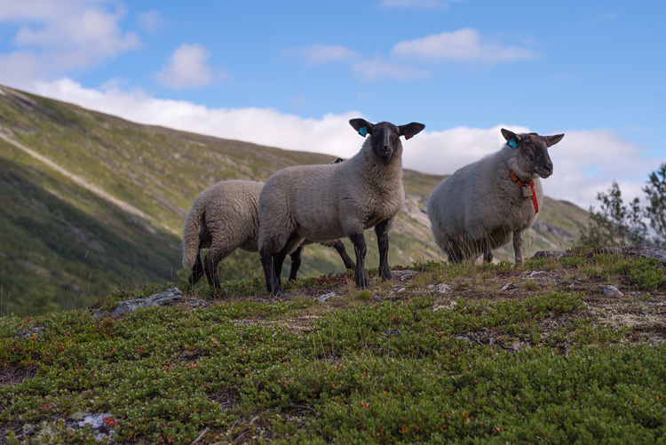
SheepAlmost always in groups of three.
|
|
|
StillaThe first of two river arms before Sotasæter. |
StillaHere's the other one, on the next day, which explains the change in the weather.
|
|
|
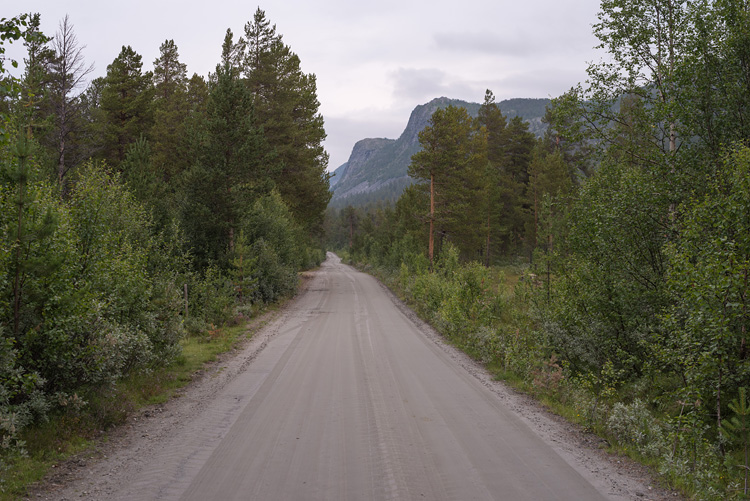
RoadThe road along the Liavatnet looks like a long one. |
LiavatnetFed by the Stilla, the lake stretches over almost 5 km.
|
|
|
After the lake
the river changes its name from Stilla to Ostri to make us hikers happier.
Ostri
The same old waters.
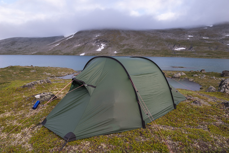
Camp
On top of a hill we found a flat space for the tent.
Destination
Our valley with Grotli and the bus stop, the Breiddalsvatnet in the background on the left.
BACK