Hardangervidda (Norway)


Start

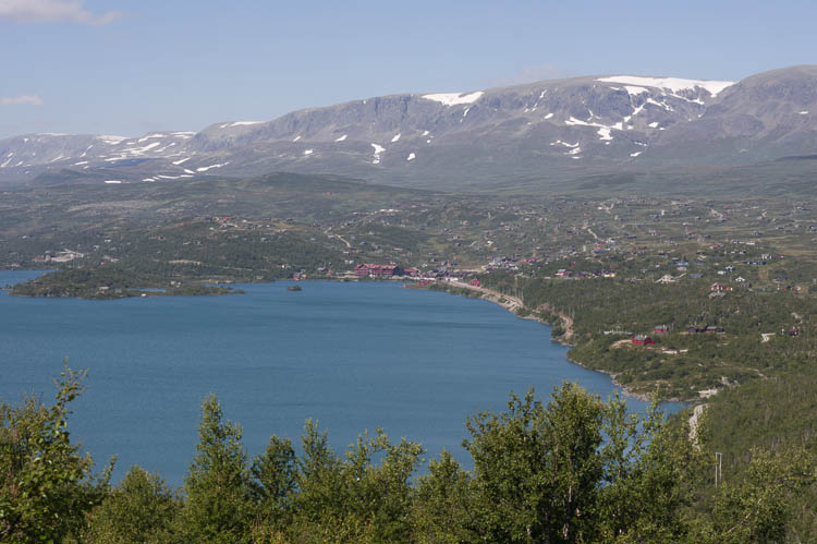
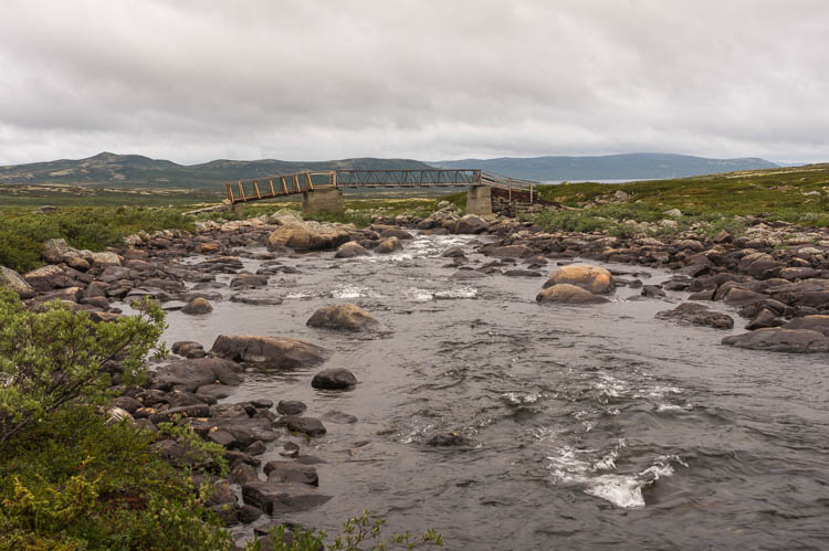
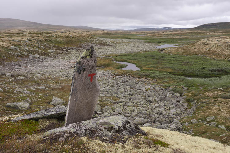
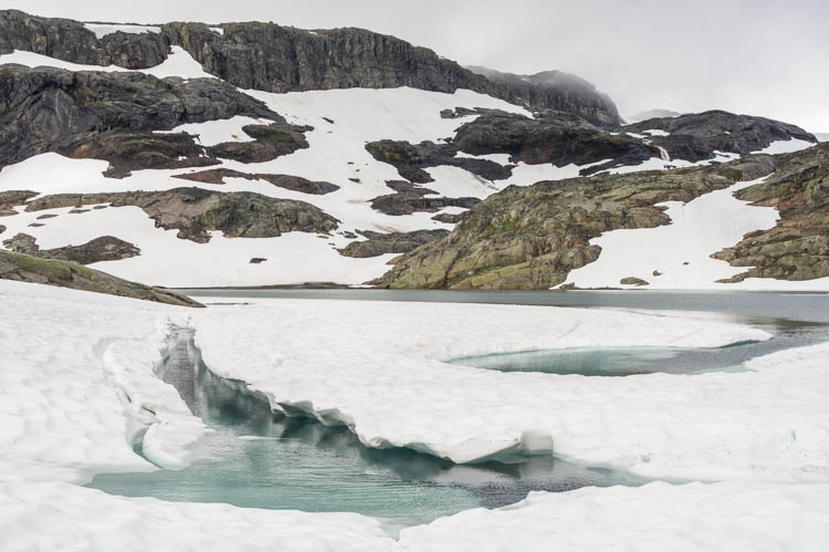
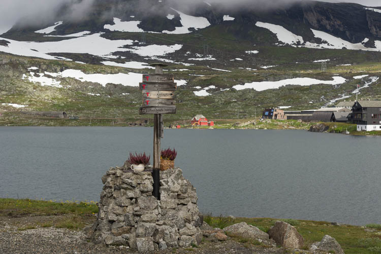
A good way to start from the north is to go from Oslo with the Bergensbanen, the railway from Oslo to Bergen completed in 1909. We exited the train in the settlement of Ustaoset, went around the eastern end of the Ustevatnet and then up into Hardangervidda.

Lookout

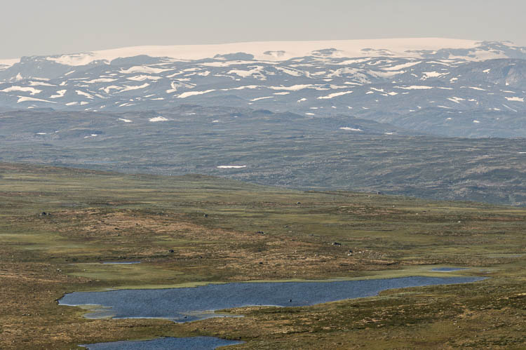
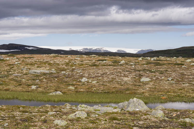
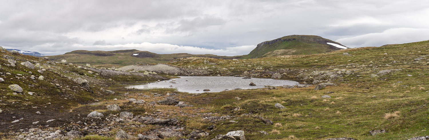
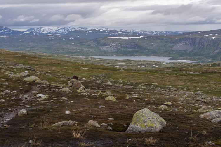
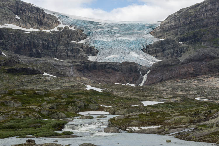
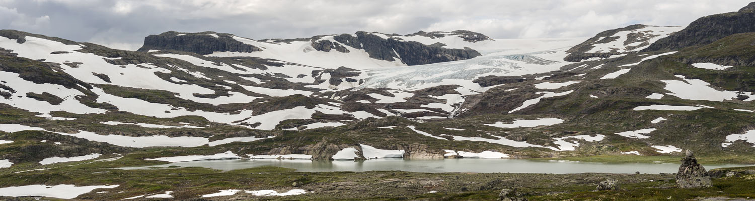
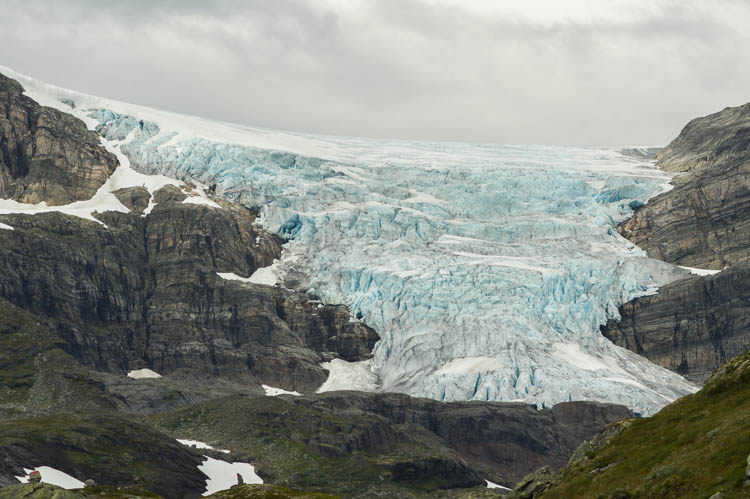
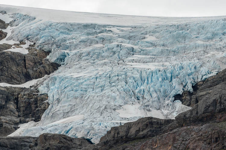
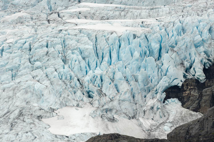
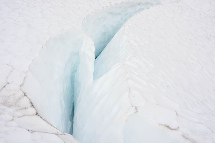
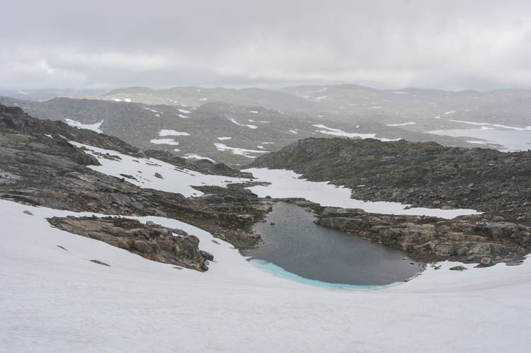
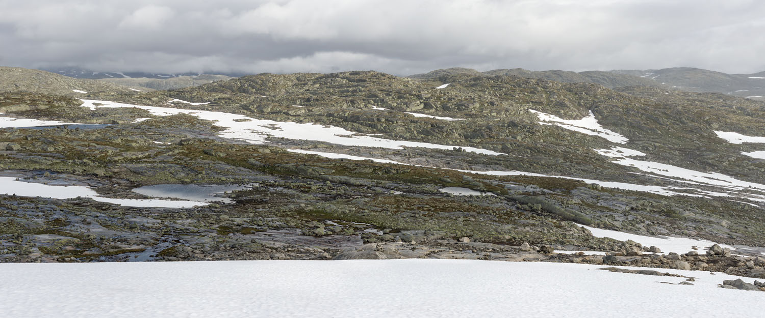
From our first little summit, the Ustetind (1376 m), we get a first glimpse of the Hardanger glacier across the not so spectacular eastern part of Hardangervidda.
Ustevatnet and Ustaoset Hardanger glacier from Ustetind


Mountain

The Ustetind seen from the south in the evening hours, from the place of our first camp on a little lake. Before the mountain are some houses, Brennbu, and a road leading to the hut Tuva, celebrating its 100. anniversary this summer.

Flatland

A typical look of the landscape in the eastern half of Hardangervidda. Many lakes with scattered cabins used for fishing, surrounded by swampy grassland, the sky belonging to mosquitoes.
Ustetind Highland


Bridge

A solid bridge leads over the river Djupa, yet a very strange bridge, because there's no trail leading to it. It sits in-midst the highland good for nothing. For good measure it is fitted with a closed door, this one also very solid and new.

Marker

One of the many trail markers, this one near the Stigstuv hut, which had already been closed at the end of August.
Bridge across Djupa Trailmarker near Stigstuv


River

A small river in a small valley between the huts of Stigstuv and Dyranut.

Contrast

Tricky weather and its demons, dark clouds, provide the shadow that struggles against the gleaming white of the Hardanger ice cap.
Small river View at Hardanger glacier


Highland

After Dyranut the terrain becomes more hilly. We are getting closer to the ice cap. This is a typical panoramic view of the highland. And of the clouds above it.

Highland

Reservoir

A view at the reservoir Sysenvatnet, which feeds the Sima power-station, making good use of the meltwater rushing down from the Hardanger.

Bridge

The bridge across the river Kjeldo near the hut of Kjeldebu.
View at Sysenvatnet Bridge across Kjeldo


Bridge

The river Leiro is a child of the Hardanger glacier. There is no other way than to cross the thundering milky waters on solid bridges.

Glacier

The beautiful ice tongue Leirebottsskaka, the eastern one, to be exact, because there is also a western flow, which is less steep.
Bridge accross Leiro Leirebottsskaka East


Hardangerjokulen

The western Leirebottsskaka, which is the main source of the Leiro river, seen from the valley Leirbotn.

Hardanger glacier


Glacier Ice

Two views of the eastern Leirebottsskaka, a beautiful stream of ice coming down from the ice cap.

Leirebottsskaka East Leirebottsskaka East


Ice

A close-up view of the blank blue glacier ice.

Snow

Just a snowfield, but the crevasse is almost as deep as that on a glacier. It was formed by a collapse.
Glacier ice Broken snowfield


Lake

Even at the end of August ice and snow persist on the lakes at high elevation around 1300 m. It was said it had been a lot of snow last winter.

Snowfield

A view down a huge snowfield, not part of the glacier, but likely surviving the summer. A small glacier itself.
Ice on lake From a snowfield


Stone Fields

A typical landscape of the Hardangervidda, bare rock, relatively even, snowfields and small lakes every now and then. And the cloudy gray sky above seldom turns blue.

Highland


Rainbows

With the weather hitting us from the west, a blue hole opens to the east of the Hardanger glacier. The mix of rain showers and sun results in a long-lasting show of rainbows.

Rainbow Rainbow


Green

By reaching lower elevations our eyes were greeted with some green grass again after having been treated with black and whites in the higher parts near the glacier.

Signpost

Directly in front of the Finse hut stands a signpost giving directions. Due to the location of the hut on a peninsula there's only one way to go, anyway. The hut is usually crowded with bicyclists.
Green again Signpost near Finsehut


Bicycles

Riding the Rallarvegen, a dirt road parallel to the railway, is very popular. Big quantities of bicycles are parked around the station. All people need is warm clothes. They stay in the hut over night, have a healthy breakfast, get a lunch package, and rent a bicycle.

Finse

The signpost at Finse station. And more bicycles. At 1222 m the station is a comfortable starting point for a ride. Down it goes.
Bicycles in Finse Signpost an Finse Station


BACK