Lønsdal
Our starting point was a train station under a grey sky. From here we went west.Present
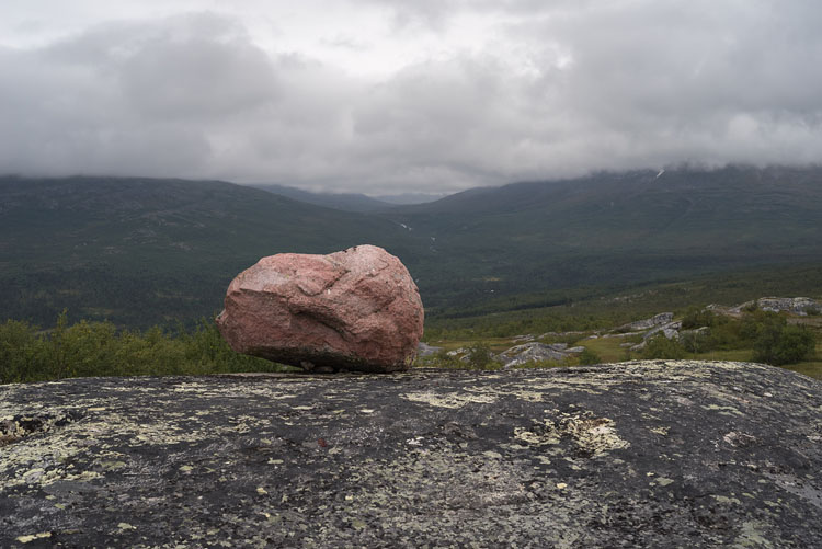
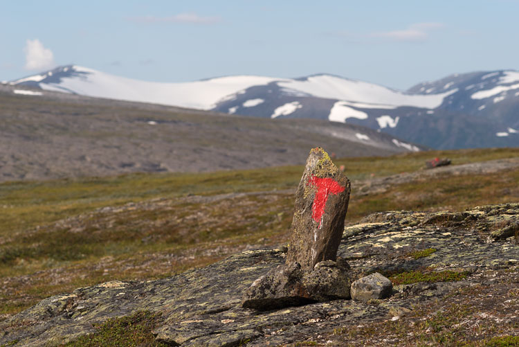
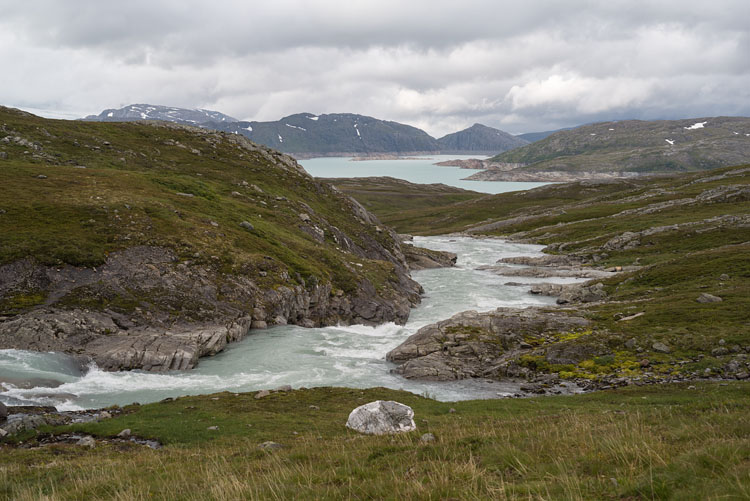
This stone got stuck by a melting glacier at the end of the last ice age. In the background the Dypendalen.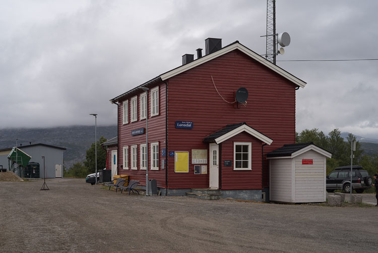
LønsdalOur starting point was a train station under a grey sky. From here we went west. |
PresentThis stone got stuck by a melting glacier at the end of the last ice age. In the background the Dypendalen. |
|
|
|
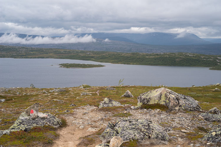
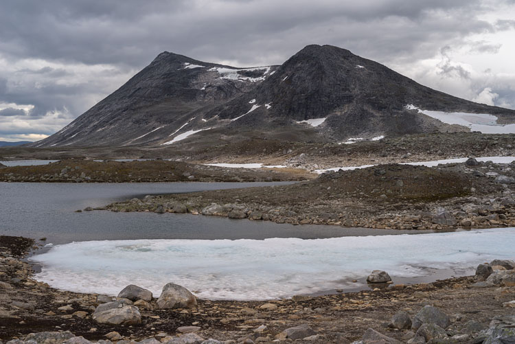
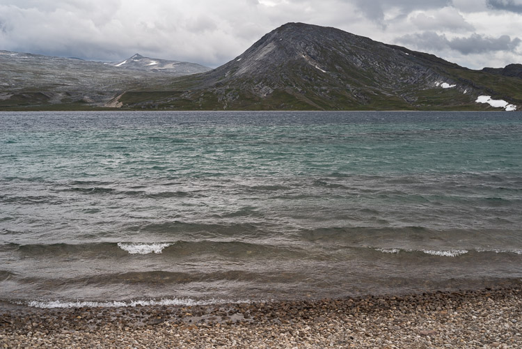
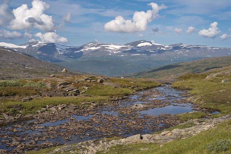
KjemåvatnetA first big lake, but its soggy shore pushed us on to look for a place on higher ground. |
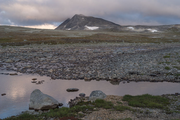
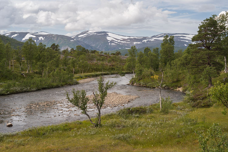
KjemåbekkenWe chose the shore of this river to set up our first camp for a nicer view than down by the lake. |
|
|
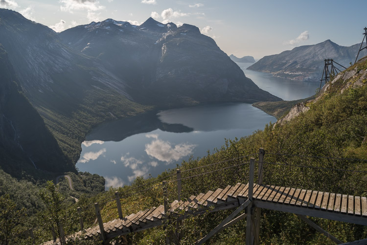
Cloudy curtainThis downstream view goes all across to the other side of Saltdalen, which is partly obscured by some clouds. |
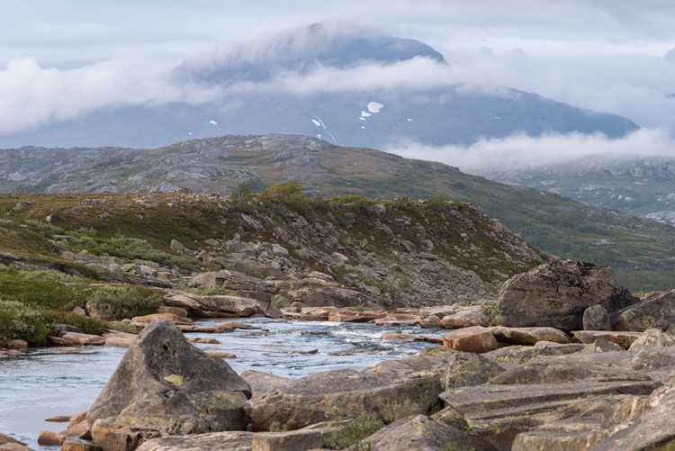
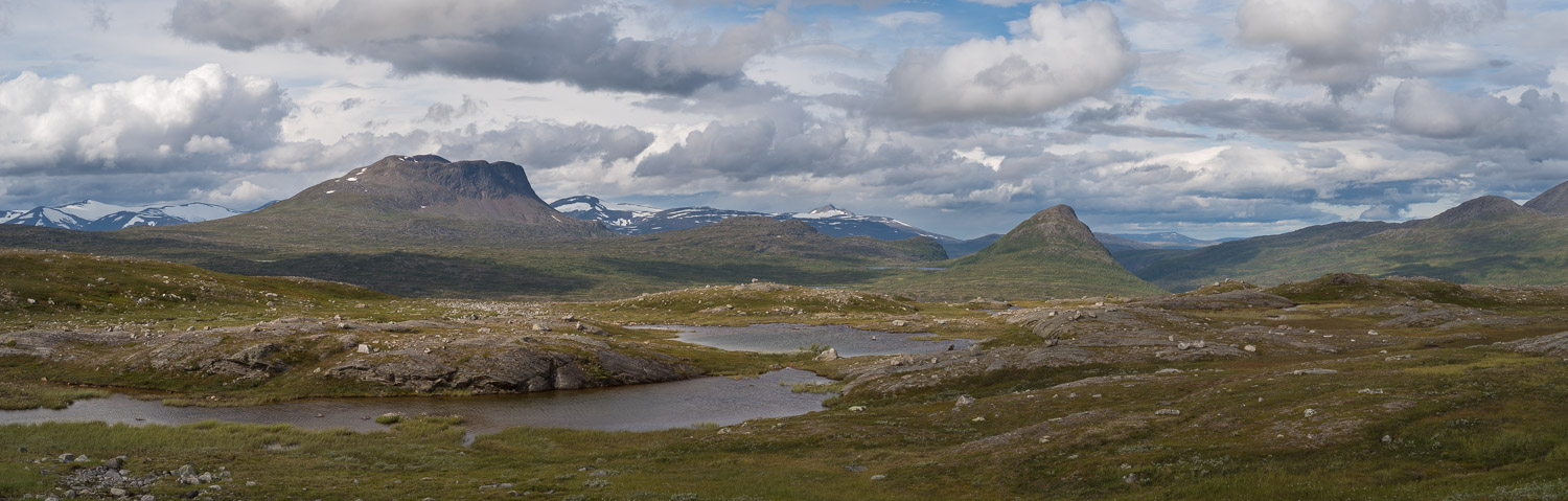
SteindalenAs the name already suggests, here our route went over seemingly endless fields of stones. The mountain is the Ørfjellet (1751 m). |
|
|
|
|
|
|
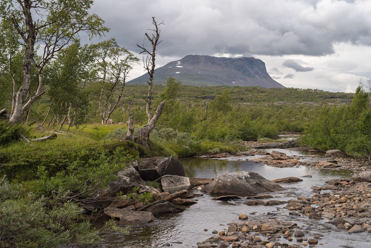
CreekA small creek on our way into Tollådalen with Tellingen in the background. |
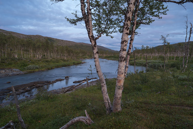
TollågaAfter having crossed the Tollåga river we camped on the left bank. Tollådalen is a flat valley just below the timberline. |
|
|
|
|
|
|
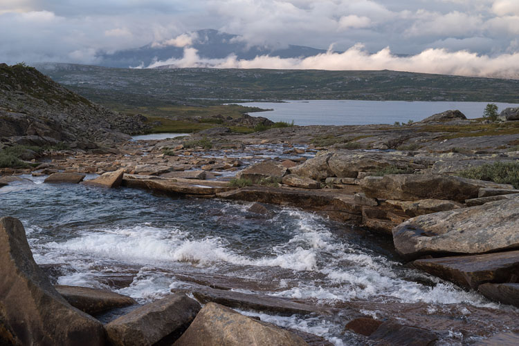
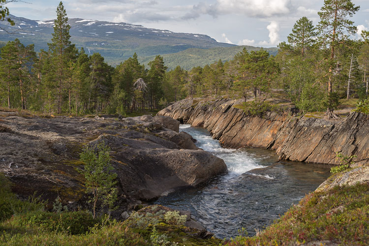
RapidsHere the Tverråga enters a steeper part, culminating in some waterfalls. |
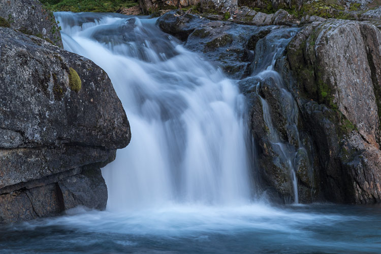
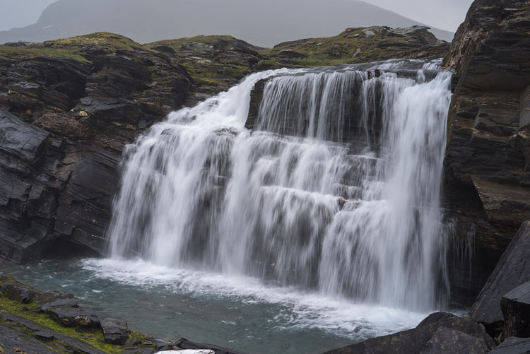
FallsUpon reaching Beiardalen, a final waterfall celebrates the end of Tverråga near the Beiarstua, where it joins the Beiarelva. |
|
|
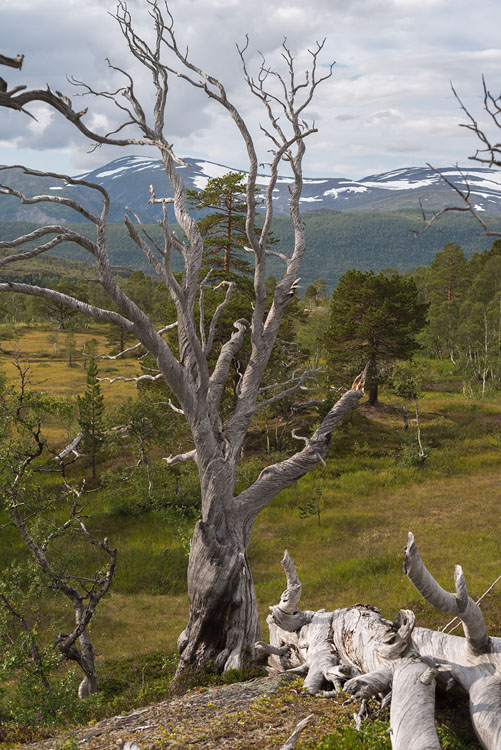
DeadThe skeleton of a tree, still standing. |
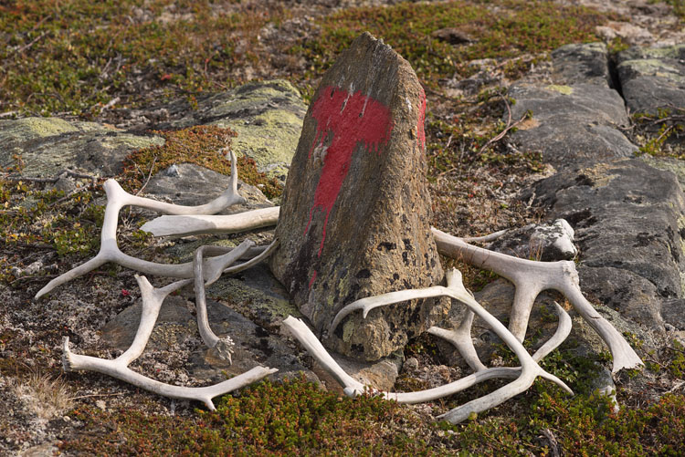
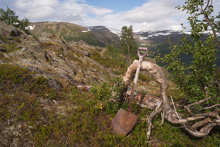
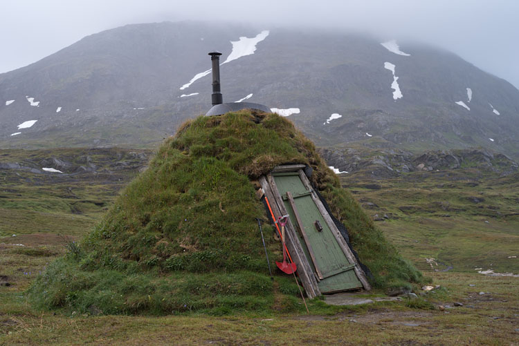
ToolFor what was this shovel used for? |
|
|
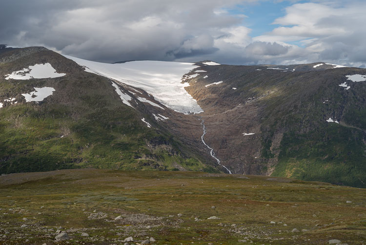
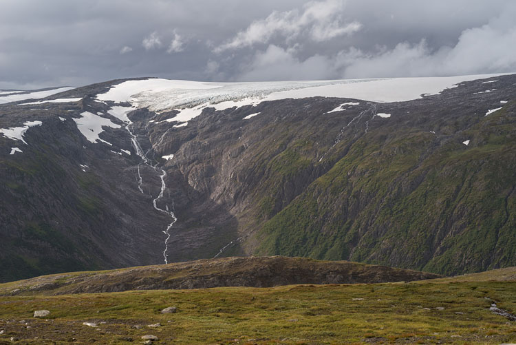
Jervåfonna |
Hengfonna |
|
|
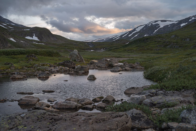
GråtådalenFrom our camp not far from the Gråtadålstua. |
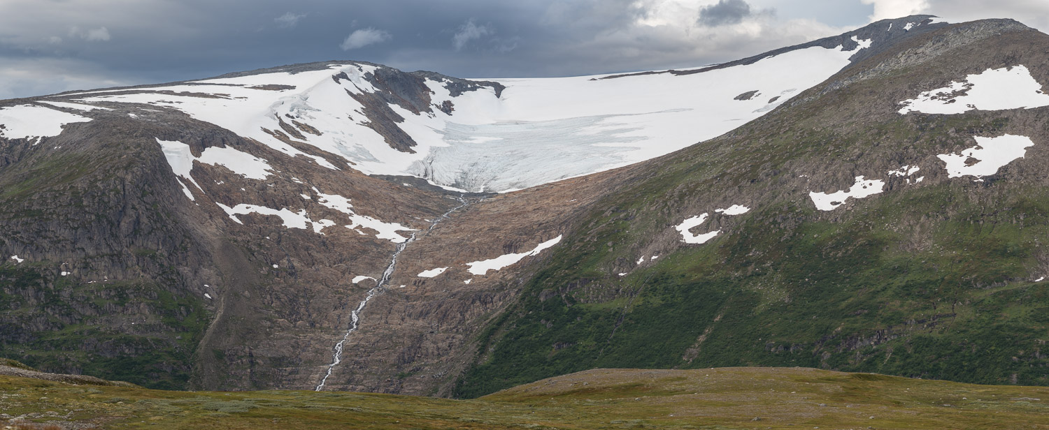
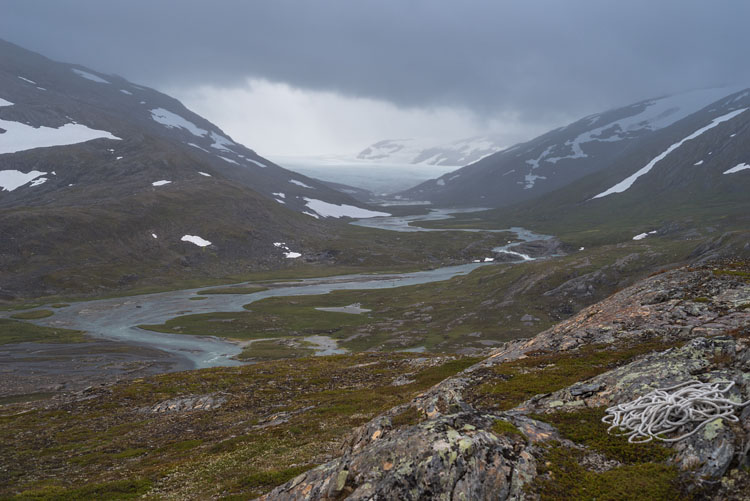
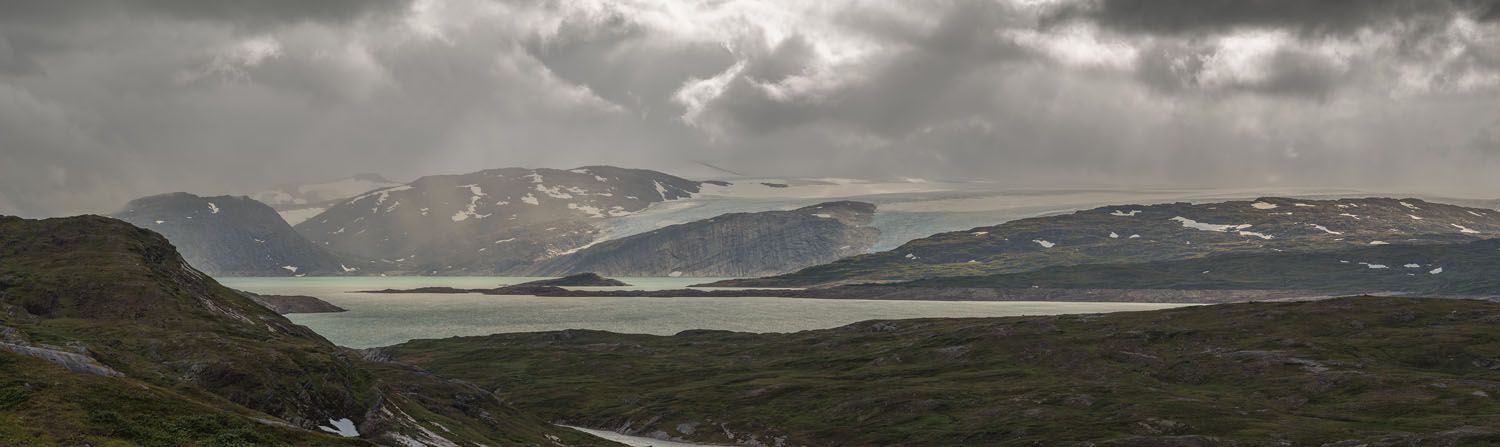
ValleycrossingHere the upper Gråtådalen ends and Sørdalen follows with a bit of Svartisen glacier at the end. To the right goes the Glomdalen. And above everything is rainy weather. |
|
|
|
|
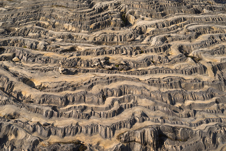
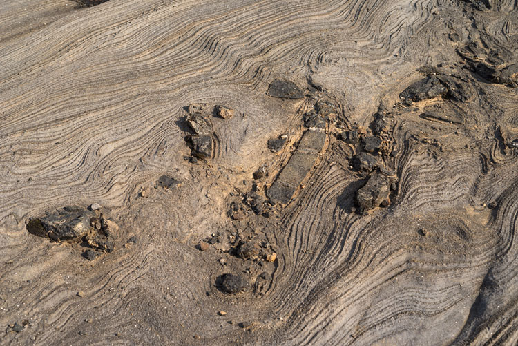
RiverbaticsThe river Skavldalselva first takes a fall, then disappears into a short tunnel through an odd limestone formation. |
HutA traditional hut - the Kvitsteindalsgammen. Handling the heavy tilted door reminded me of a mousetrap. Yet it offered a roof. |
|
|
|
|
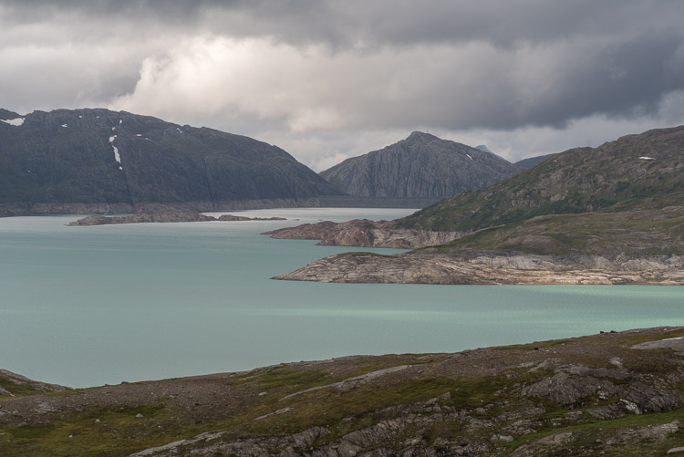
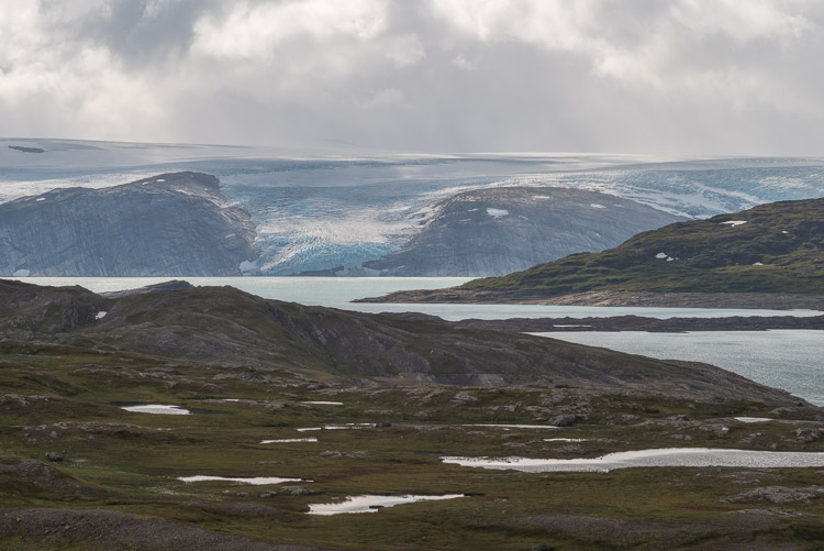
SvartisenA tongue still reaches the shore of Storglomvatnet. |
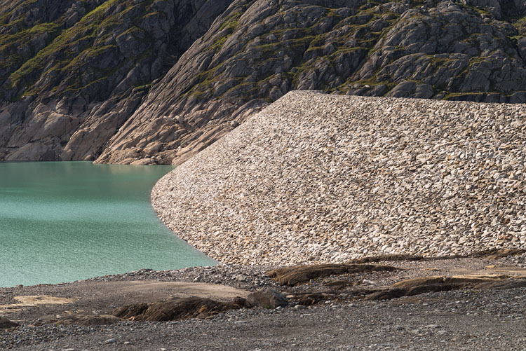
DamBuilt in the 90ies, the reservoir collects water for electricity, which flows through pipelines down to coastal stations. |
|
|
|
|
|
|