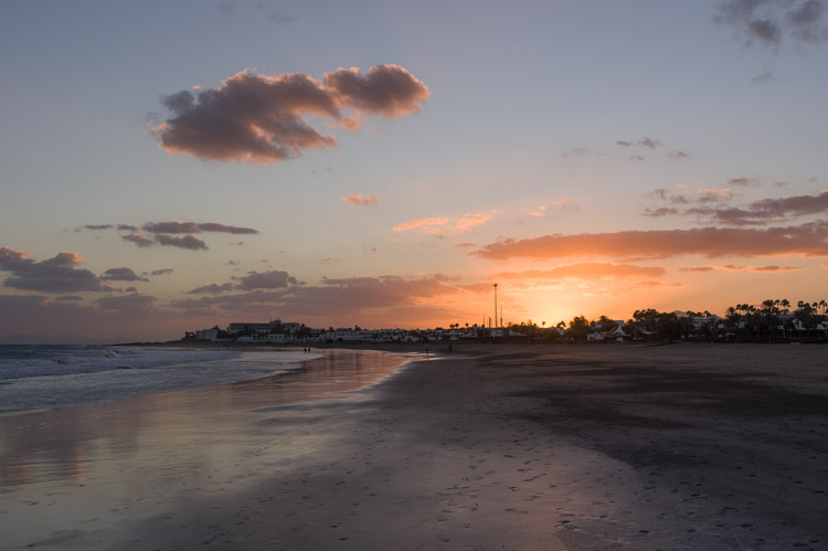
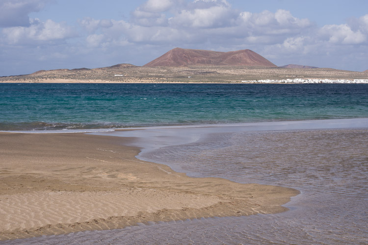
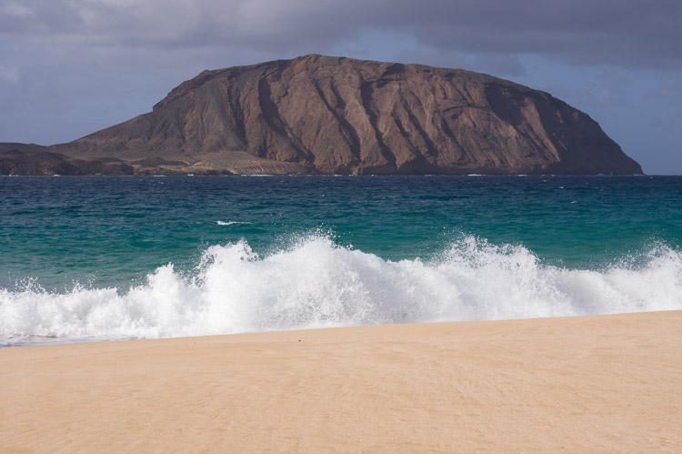
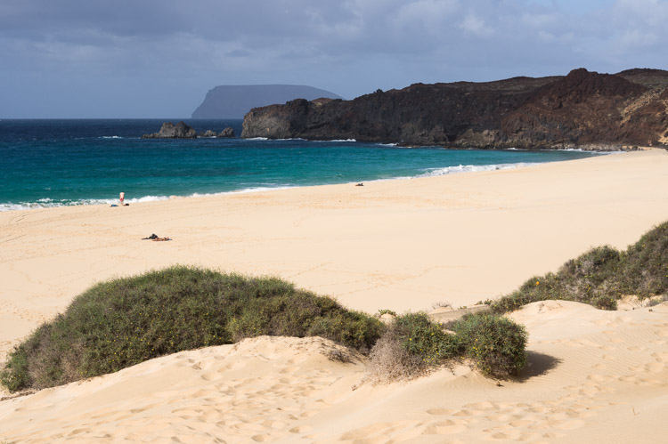
Lanzarote


Beach

At this late hour the Playa de los Pocillos is void of tourists, regardless that Puerto del Carmen is one of the few places where tourists are stationed on the island. Also not far from the airport.

Crater

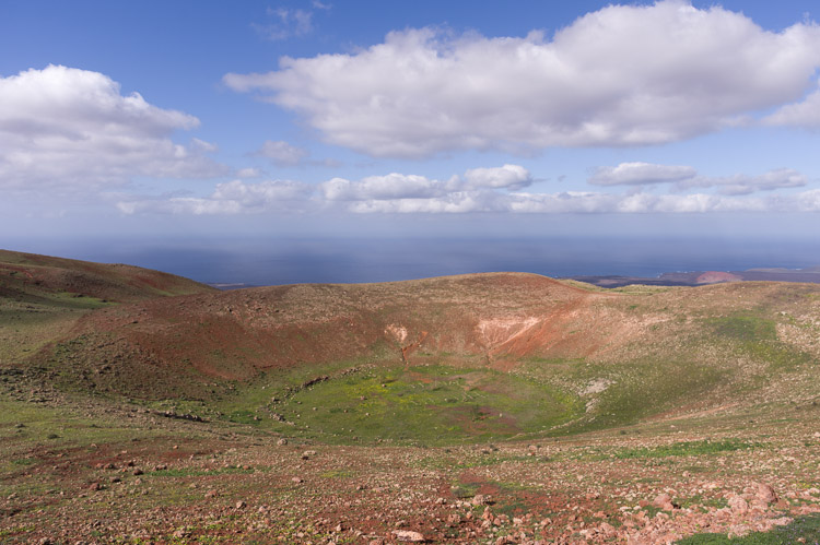
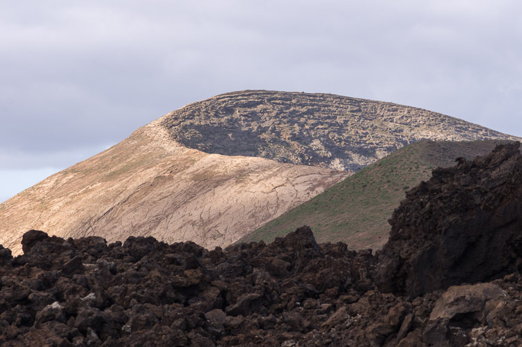
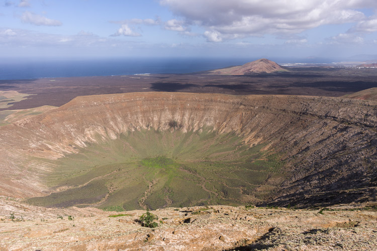
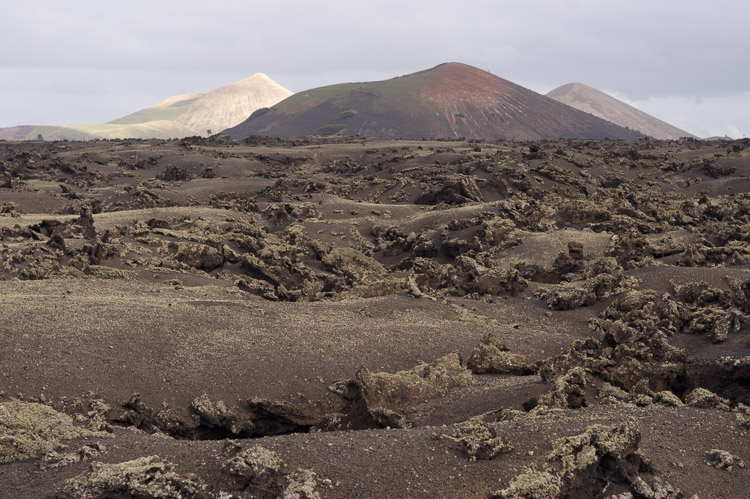
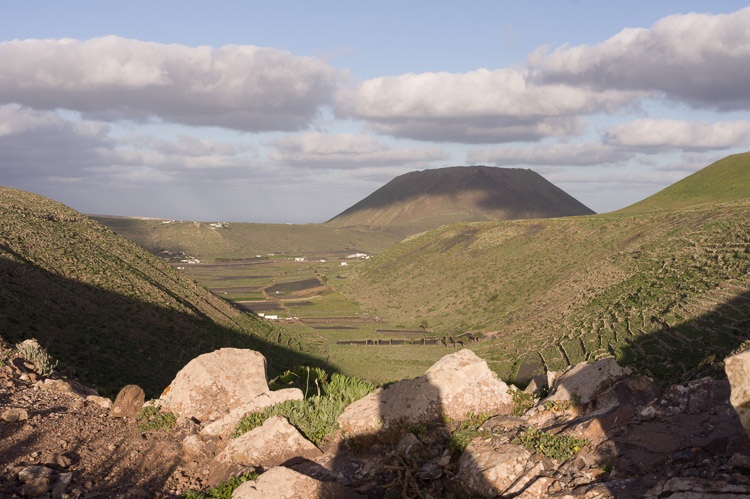
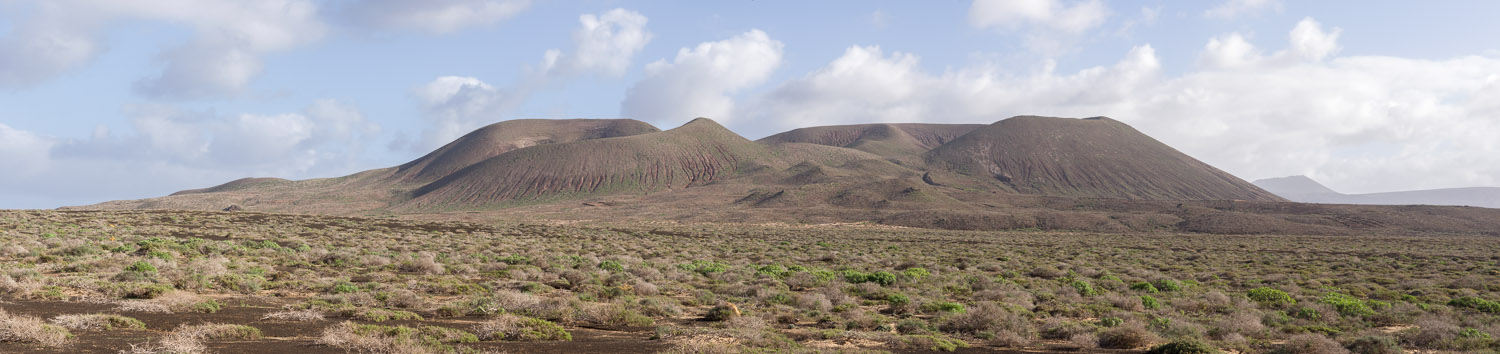
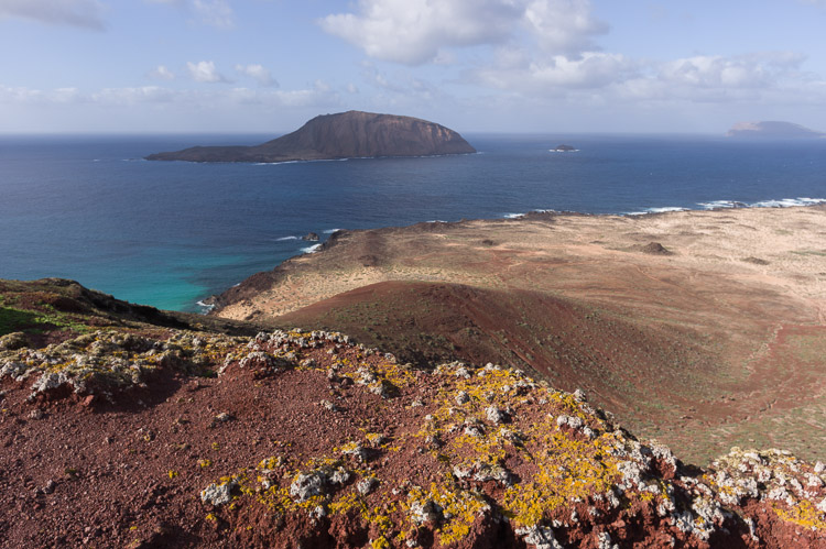
Atalaya de Femé is the name of the mountain which hosts this flat old crater. Old means that it was not created recently in geological terms, it must have an age of thousands of years.
Playa de los Pocillos Atalaya de Feme


Mountains

At the southern half of Lanzarote, around the town of Femés, some older mountains show no signs of modern activity, although of volcanic origin like the whole of the island. The view goes to the northeast towards Puerto del Carmen.

Los Ajaches


Ridge

The Pico de la Aceituna, 487 m, near Femés.

Bunker

A bunker at the shore. A travel book dates it back to the Civilian War in the 30ies of the 19th century.
Degollada del Portugues Bunker


Town

The town or big village of Yaiza with the Timanfaya volcanic area in the background and a few large chunks of basalt in front.

Bush

A lone bush on a ridge seems to live a good life in the dry climate. There's not much of vegetation on Lanzarote.
View at Yaiza Vegetation


Volcano

The threatening look of the Caldera Blanca, situated amidst a sea of fresh lava from the eruptions in the 18th century.

Caldera

The huge by Lanzarote's standards crater of Caldera Blanca is already 3000 years old. The title "caldera" is geologically not justified, it's just a simple crater.
Caldera Blanca Caldera Blanca Crater


Lava Fields

Eruptions from 1730 till 1736 left large fields of lava in eastern Lanzarote and are the biggest historical eruptions on the Canarian Islands. The Montaña de Teneza looming above the lava is the child of far older activity.

Montana de Teneza


Heron

A satisfied egret on the beach. A moment before the picture was taken, the bird had caught a juicy lizard and managed to swallow the same with some difficulty.

Raven

A black raven on a rock of lava, a picture suited for the starting sequence of a catastrophe movie about a huge volcanic eruption.
Bird Raven


Devil

Access to the Timanfaya Volcanic Park is extremely restricted to protect the original shape of the landscape. Here the devil himself shows responsibility by banning cars from roaming the area.

Vent

Volcanic cinder and spatter cones, endless fields of lava with lava tunnels underneath, everything still looking relatively fresh due to the dry climate.
The Devil Caldera Rajada


Inside

From the inside of Los Cuervos, the first cone to erupt in 1730. The crater was finally breached by the rising lava lake. Today the gap in the crater wall is a comfortable entrance for visitors.

Fields

A view over the lava fields left by the 1730-36 eruptions, covered with ash thrown out off cinder cones. The mountains in the background are of older origin.
Montana de las Lapas del Cuervo Montana Testeyna


Cliff

The steep cliffs at the northern end of Lanzarote drop down to the sea by half a kilometer, offering a tremendous view.

Last Light

Yet another picture, the cliff lit by the setting sun. The place is accessible from the village of Guinate.
Famara Cliffs Famara Cliffs


Valley

From the access point to the cliffs in a northeasterly direction with the volcanic cone Monte Corona.

Channel

A beautiful beach in the Playa del Risco. Across the water is the island of Graciosa with the cone of Montaña del Mojón.
Valley near Guinate Playa del Risco


Port

Caleta del Sebo is the only settlement on the small island of Graciosa, and its port the only link with Lanzarote. Note the wall of cliffs in the background.

Cape

In reaching Graciosa, one has to ship around Punta Fariones on the way from Órzola. In weather such as this the journey isn't funny for everyone.
Caleta del Sebo - Harbor Cliffs


Volcano

In the center of Graciosa is a small volcanic massif named Montaña Pedro Barba with two cones, Agujas Grandes and Agujas Chicas, the latter on the left.

Montana Pedro Barba


Rock

Just like a Russian doll, the small sister of Lanzarote has yet another even smaller neighbor called Isla de Montaña Clara, which is basically a volcanic rock and not accessible.

Beach

One of the best beaches is the Playa de las Conchas in the north of Graciosa. Still one more island shows up on the horizon, the Isla de Alegranza.
Isla de Montana Bermeja Playa de las Conchas


Top

At the northern tip of Graciosa is yet another volcanic cone called Montaña Bermeja, offering a good view at Isla de Montaña Clara.

Crest

A stylish crest marks the summit of Bermeja. The Isla de Alegranza is at the horizon.
View from Montana Bermeja

Crest on Montana Bermeja


Islands

From high on the cliffs the ever smaller islands described above are seen. One might add the island of Fuerteventura in the south to complete the archipelago. Down on the shore to the right is an old salt-works.

Graciosa


BACK