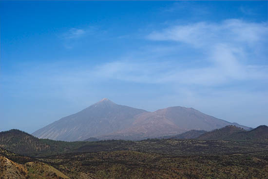
Pico de TeidePico de Teide is an active volcano and, with an elevation of 3715 m, the highest mountain of Spain, although from a geographical perspective Tenerife belongs rather to Africa than to Europe. |
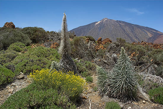
Scarce VegetationThe regular Passat winds are the source of moisture for palms on its northern coast and pinian forests at higher ground. The south, however, is as dry as a dessert as much as inside the caldera at more than 2000 m. |
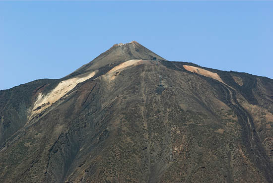
SummitOn top of Pico de Teide sits a small cone called El Pitón. Some fumaroles emit steam and the foul smell of hydrogen sulfide; surrounded by yellow sulfur deposits they demonstrate the ongoing activity on Tenerife to those tourists who overcome the bureaucratic hurdle of getting a permit from the Spanish authorities. |
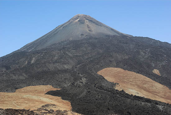
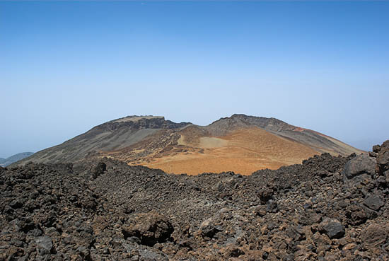
From the other sideLava-flows cover the slopes of Teide, over which leads a path to the neighboring cone Pico Viejo. Anybody who wants to hike over for a look into the big but unspectacular crater should consider the thin air above 3000 m, especially as most tourists tend to "camp" down at sea-level, thus creating a worst-case scenario for mountain sickness. Besides, crossing lava is not an easy walk in the first place. |
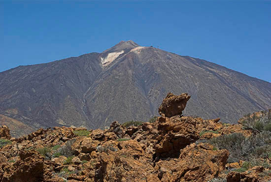
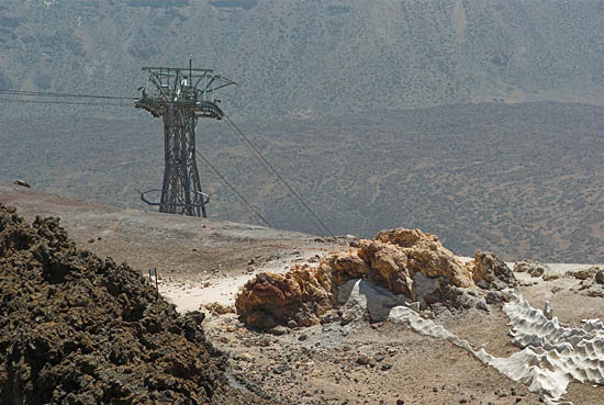
RopewayFor the sake of tourism nobody needs to invest too much effort into climbing Teide thanks to the cable car that beams people from a parking area at 2300 m up to over 3500 m at the foot of El Pitón. |
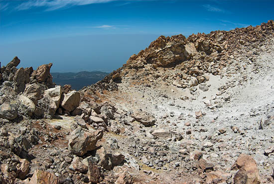
CraterAtop El Pitón is an eroded crater named Le Caldereta. Access is limited to a mere 200 visitors per day, something I can understand as without limitation the summit would be too crowded, let alone the high possibility of complications at this high altitude. |
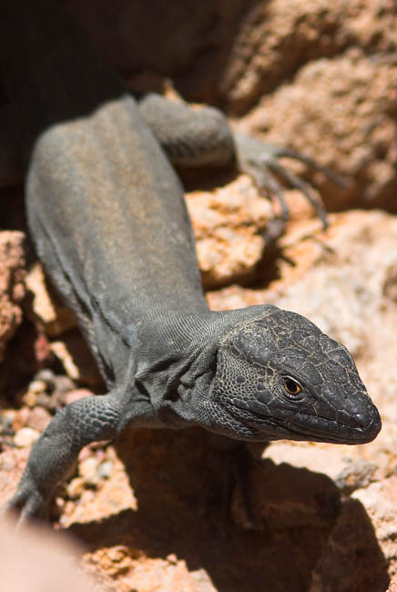
FaunaEven high up on Teide this lizzard seems to feel comfortable. These small animals occupy the area in plentitude. |
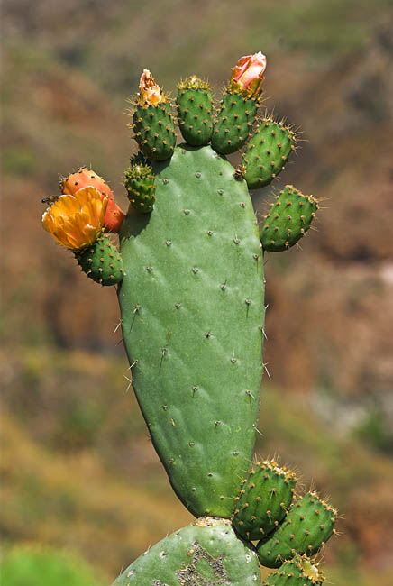
FloraMany of these cacti enjoy the eyes of tourists with their beautiful blossoms. The plants have their origin in America. |
Pico ViejoA 700 m wide crater ten times the diameter of Le Caldereta makes this second summit appear broader compared to Teide. An eruption happened in 1798 about one kilometer downslope and created two cinder cones, while the youngest historical eruption on Tenerife dates back to 1909, a cone to the northwest of Teide. |
Again TeideThis time from the northwest. The picture shows Pico Viejo on the right, looking bigger from this side. The high caldera rim present in the south is missing in the north, probably due to landslides. |
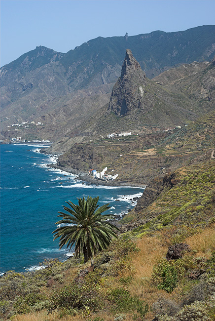
AnagaThe whole of Tenerife is of volcanic origin, but of different age. The oldest part is the Anaga Range, whose basalt layers were formed 3 to 6 million years ago. The photograph shows the village of Taganana below the Roque de las Animas. |
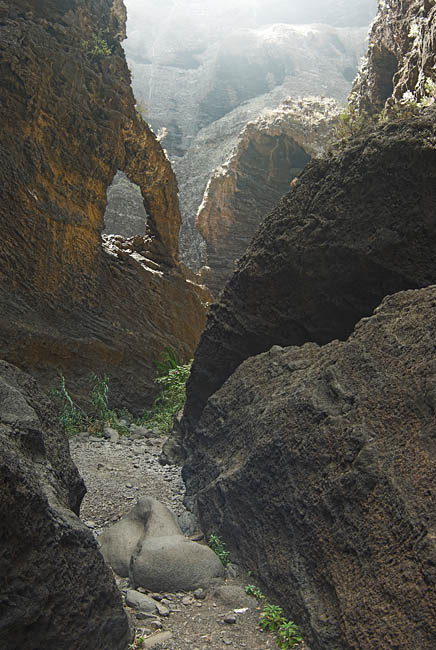
MascaThe cañon of Masca cuts deep into the Teno mountains, another old part of Tenerife in the northwest. The volcanic rocks, hard basalt and softer layers of sintered ash and pumice, provide the best ground for deep cañons called "barrancas". |
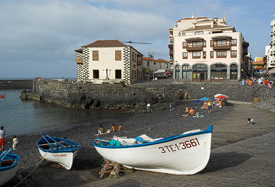
PortThe town of Puerto de la Cruz in the north is one of the tourist centers. The old port could only preserve its charm by losing all economic importance before modern times struck. |
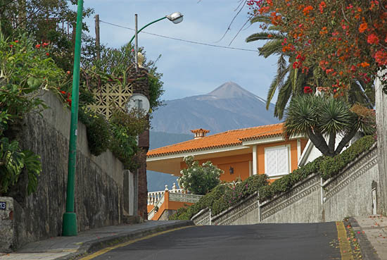
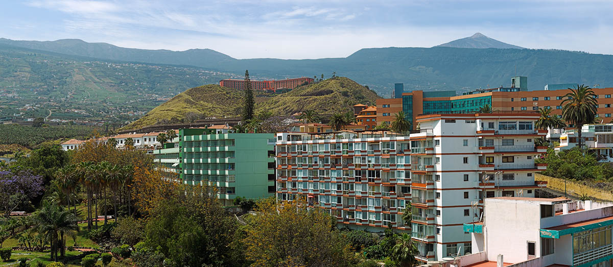
StreetsTeide towers over the streets of Puerto de la Cruz. A mix of big modern hotels along with smaller historical buildings, surrounded by palms, are the better alternative to the dry south. |