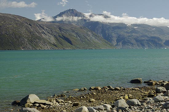
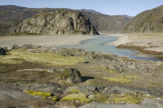
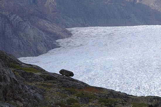
Narsarsuaq and Mellem Landet


From the aircraft

Already the approach to Narsarsuaq offers breathtaking views, that is, if the route leads over land, and if the weather co-operates.

Narsarsuaq

On final to Narsarsuaq Airport, seen from a boat, otherwise the aircraft would be far below the glidepath and one second from ditching. The runway is alarmingly short and has a slight upward tilt. It was a link in the supply chain from the US to Europe in WWII. A museum (go to Blue Ice Cafe) has more information.
Approach Final Approach


Erik the Red

He was the man who founded the first Viking settlement on the Skovefjord opposite to Narsarsuaq a thousand years ago. His statue watches over Brattahlid, or Qassiarsuk, which is the Inuit name of the place.

The fjord

It is a long way down the fjords to the open sea. Close to the ends of the fjords the water is low on salt due to the constant flow of meltwater from the glaciers. There is no glacier at the end of Skovefjord, nevertheless some ice always finds its way in from the outside.
Erik the Red Sunset over Skovefjord


Ship

With only some 40 people living in Qassiarsuk public transport is limited. If needed, a boat can be ordered from the local tourist outfitter at the Blue Ice Cafe. This one, called Puttut, brings a handful of tourists to the ruins of first Viking settlement.

Evening

One of the slow arctic sunsets lights the Mellem Landet. The small big red ship belongs to the Arctic Umiaq Line, which carries out regular service along the coast.
The ship Sunset over Skovefjord

End of a glacier

The tongue of Kuussuup Glacier is barely visible between the rocks, where it turns into the Kuusuaq River. It is a so-called "dead glacier" that melts before reaching the sea. Once it did, and it left its marks on the rocks all around the valley. A comfortable day hike on a trail brings tourists into touch with the ice.

View from Mellem Landet

The Kuusuaq River flows on its brief path across the plain to Skovefjord in the background. The valley beneath is called Blomsterdalen, which means Flower Valley. The local Inuit have been converted to sheep farmers and use the soil to grow hay for the winter.
Kuusuaq River View from Mellem Landet


Kuussuup Glacier

Here the dead glacier is still alive and moving. On the other side is Johan Dahl Land, and somewhere in the background there would be the Hullet. The "waves" on the ice surface in the foreground are created by the top end of Mellem Landet, while the gap between two groups of waves probably represents a year's advance of the glacier.

Kuussuup Glacier


Stone

Such boulders, often neatly placed atop smaller stones, are leftovers by the ice that once covered the area. The stone was traveling in the surrounding ice and hit the ground, when the warming made the glacier disappear. The smaller stuff was then washed off by the elements, the big one remained.
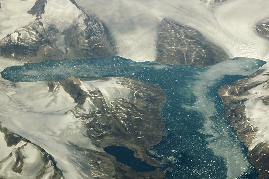
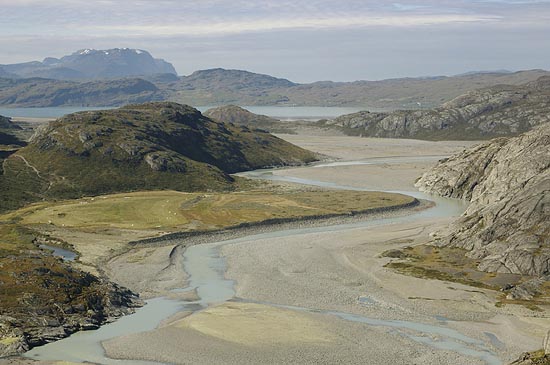
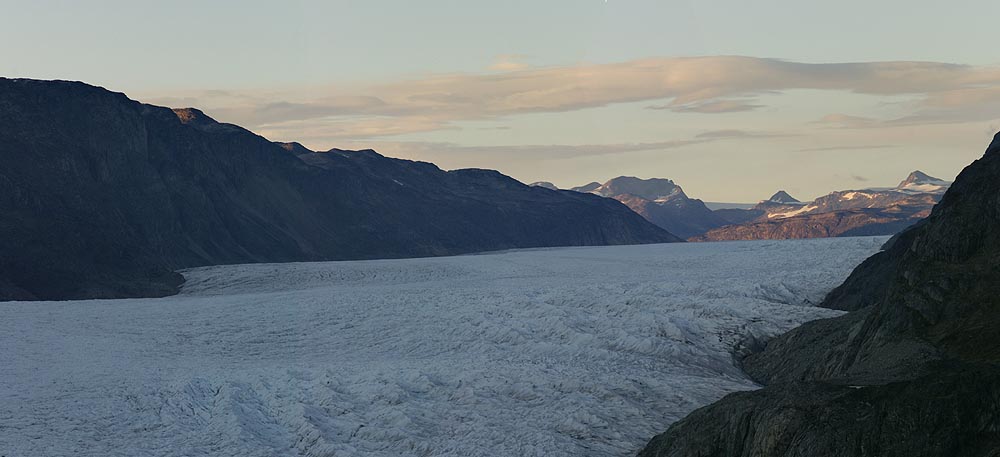
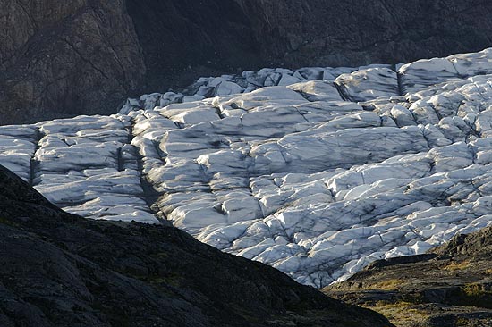
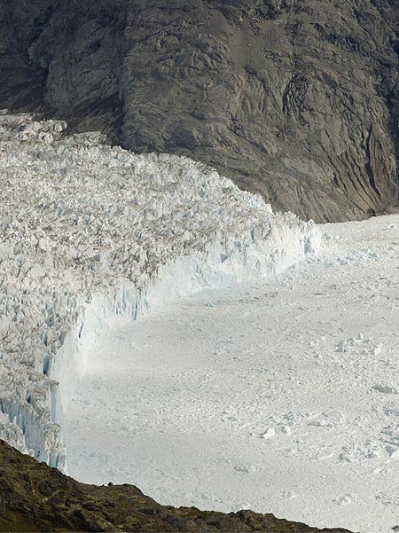
Ice surface

On its final way Kuussuup Glacier squeezes through the closing gap between Mellem Landet and Johan Dahl Land. Melting, of course, happens not only at the very end of the tongue. Meltwater flows beneath the ice, on top of it, and in internal channels. The surface structure seen in this photograph indicates severe melting, which is no wonder during summer.
Stone Kuussuup Glacier


Qooqqup Glacier

A so-called tidewater glacier, where the tongue swims on the water before it finally calvs into Qooqqut Fjord. The calving edge moves back and forth during the year depending on the flow rate and temperature conditions.

Calving edge

Every now and then a chunk of ice tumbles down into the water with a subsequent rumbling noise. A glacier pushed forward by the huge supply of the Greenland Ice Cap usually travels at a considerably higher rate than any glacier in the Alps. Another contributing factor is the sudden end in open water, giving less resistance to the moving ice.
Qooqqup Glacier Calving Qooqqup Glacier


BACK