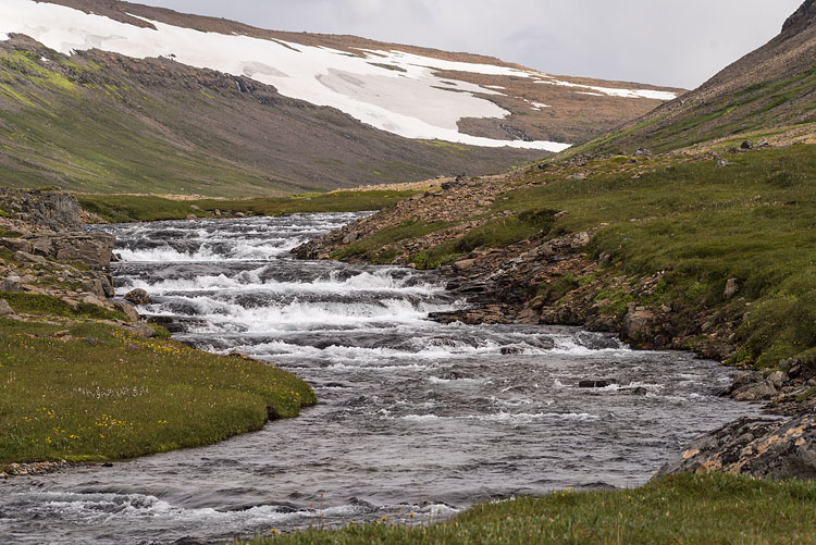
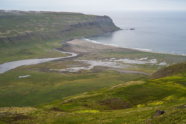
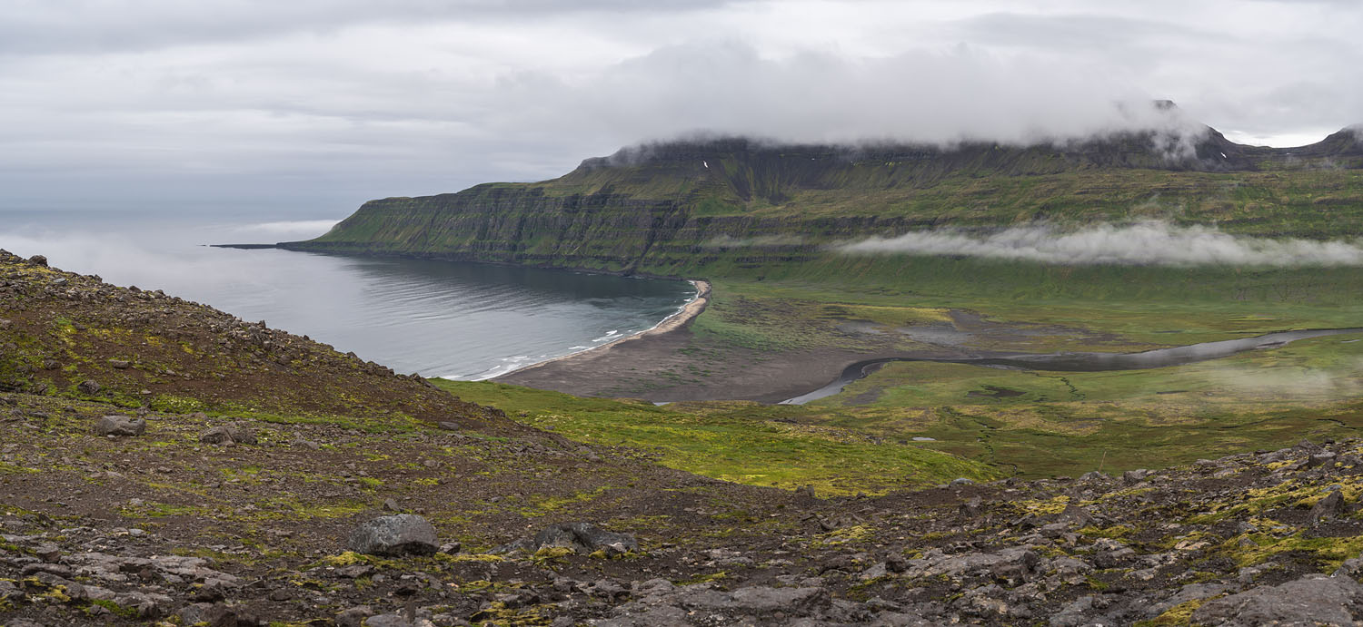
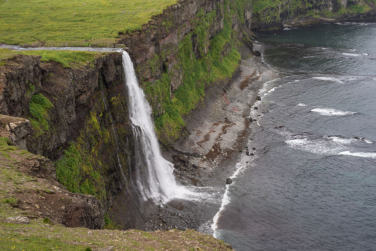
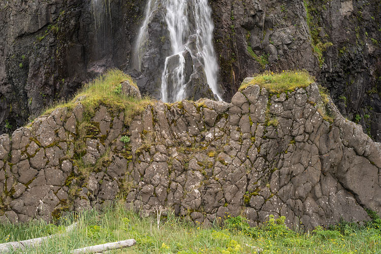
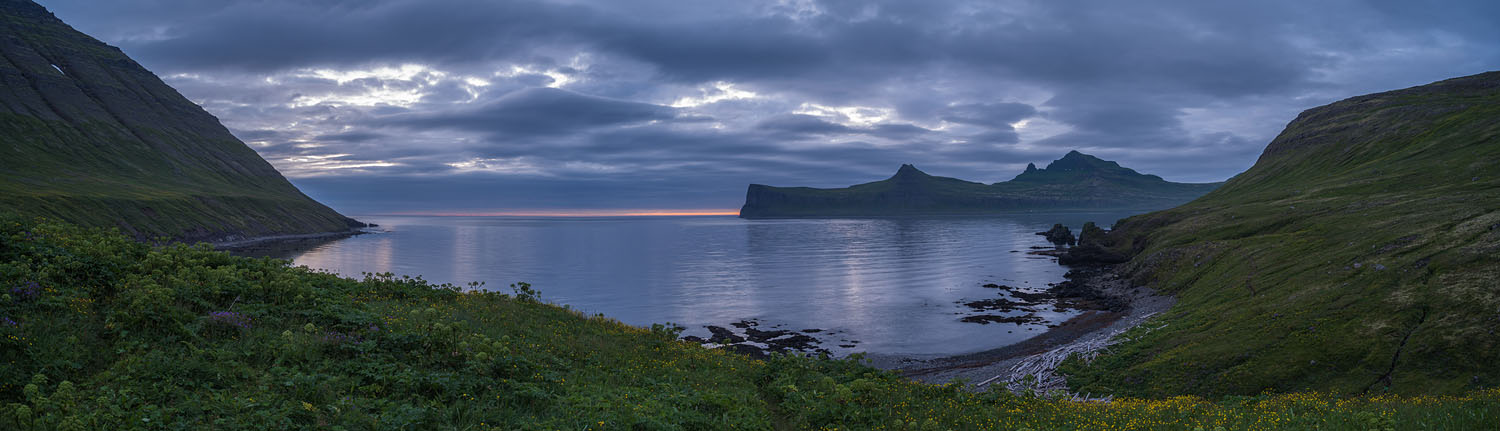
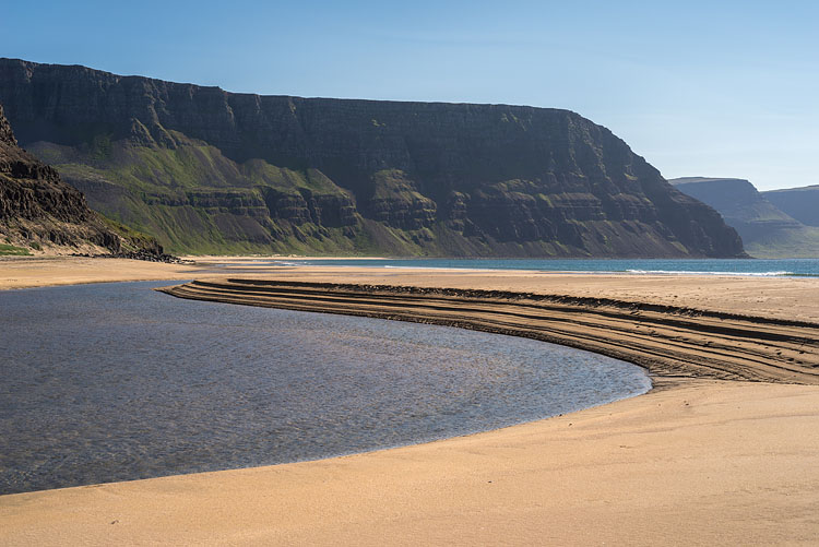
Hornstrandir


Hraundalsá

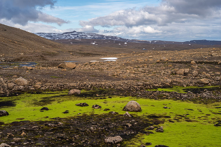
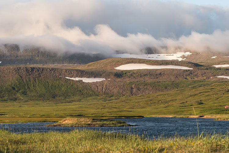
After a long drive from Ísafjördur we started in Melgraseyri, before the dirt-road crosses the Selá and close to the southwestern edge of Dranga Glacier. We went up Hraundalur passing south of the glacier.

Stones

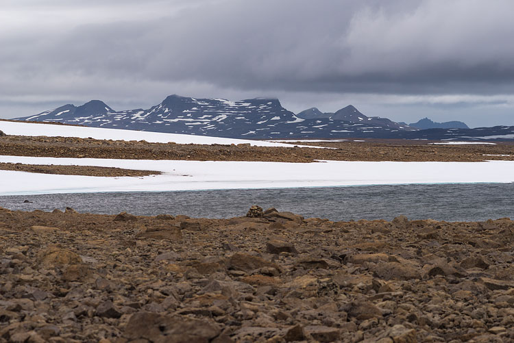
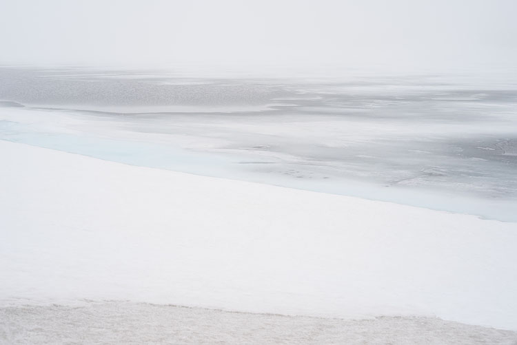
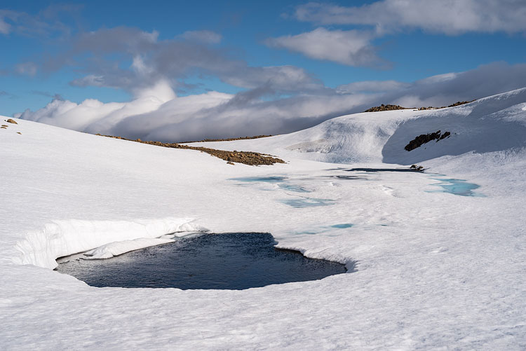
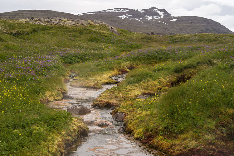
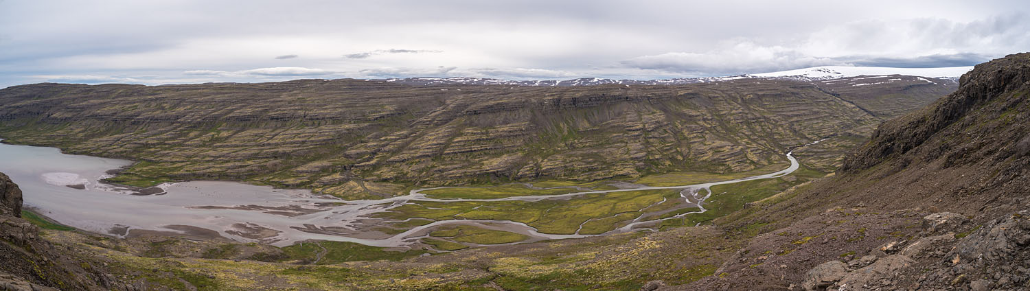
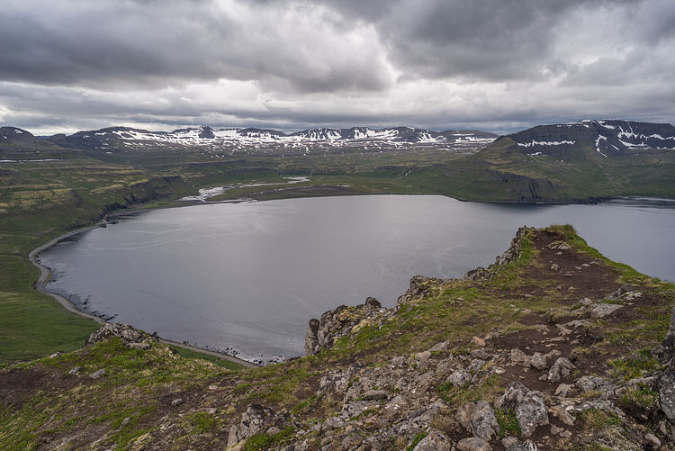
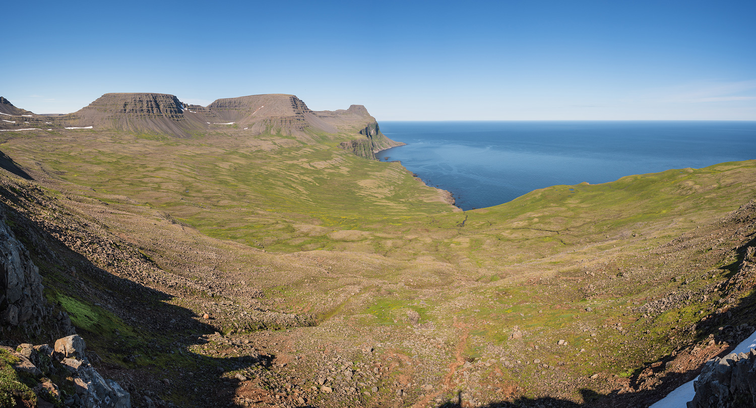
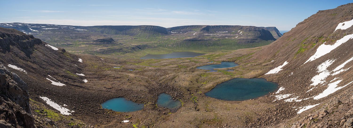
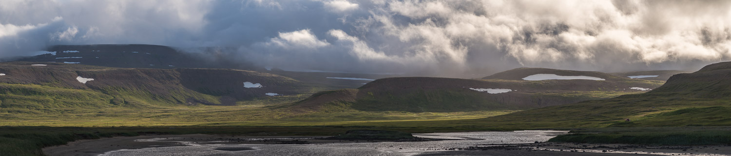
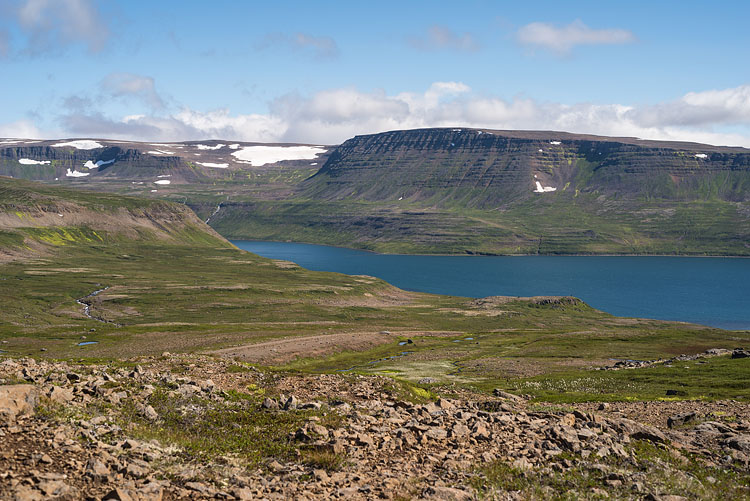
The valley leads to a 500 m high plateau, offering a good view at distant mountain ranges, weather permitting. Stones, large snowfields, and lakes form the landscape. Without any trail we switch to GPS and turn northwest.
River Highlands


White

According to the map we haven't set our foot on Dranga yet, and we didn't plan it in the first place, but... For hours we walk on snow, a slight drizzle creates whiteout conditions. GPS!

Water

In search for water to avoid the tedious melting of ice we find this snow-covered river and set up camp in the evening after a strenuous walk of more than ten hours. The next morning greets us with sunshine.
Almost Glacier Snow


Rainbow

Good weather? From time to time it rains and even turns to sleet, perfect conditions for a rainbow.

Green

Getting lower to 300 m we meet the first low plant life after what seems a long time. The direction is almost north, the mountain in the background is Miðmundahorn (636 m).
Rainbow Highlands


The Sea

We arrive at the eastern Atlantic shore and right at the mouth of the Meyjará after having hiked down the Meyjardalur.

Hot Water

In addition to the hot springs in Reykjarfjöður, which feed the fine swimming pool, there is yet another hot spring close to the southern bank of Reykjarfjarðarós.
Mouth of Meyjara Hot Spring


Bjarnardalur

One of the many valleys we had to cross. The river Bjarnarfjarðará is fed by the glacier, icy-cold and a "refreshing pleasure" to ford. Walking along the coast meant a constant up and down, a ridge-valley-ridge pattern.

Bjarnar Valley


Church

In former days there have been small settlements along the coast, which were abandoned after WWII. The chapel of the one in Furufjöður is still standing.

Graves

An overgrown cemetery surrounds the chapel. The names suggest that only a handful of persons occupied the place. Some of the old houses are still in use for vacationers.
Chapel in Furufjördur Cemetery in Furufjördur


Beach

From our camp in Furufjöður at low tide. This was one of the official sites equipped with a toilet and with a rescue hut.

Shore

The view goes along the shore, basaltic rocks sticking out of the water and the Dranga Glacier in the background.
Beach at Furufjördur Dranga Glacier from Drangsnes


Needle

A spectacular basalt rock stands in a small bight after the cape of Drangsnes.

Valley

The valley of Barðsvík with the river Barðsvíkurós, which we crossed higher up to avoid the high tide.
Drangsnes Bardsvik


The same Valley

The Barðsvík valley from the other side with the pass on the right. The evil-looking weather can only be called "fair", since it didn't rain.

Bardsvik


Waterfall

The world suddenly ends for the river Drífandisá, and it falls down the cliff.

Cliffs

The coast seen from Digranes through cliffs in northwestern direction.
Waterfall Coast


Birds

Seagulls dominate the area. At the pool in Reykjafjörður the atmosphere is polluted by attacking arctic terns. No puffins.

Fox

Arctic foxes don't give a toss about the presence of humans. I nearly stepped on one.
Seagulls Arctic Fox


Flowers

In spite of the arctic latitude the land was plastered with flowers.

Lighthouse

Látravík is an old lighthouse offering accommodation and also a place for a tent at monopolistic prices.
Flowers Latravik


Basalt

A basalt dyke in front of a waterfall in Hornvík Bay.

Hut

The rescue hut at Höfn, also located in Hornvík Bay.
Waterfall and Basalt Rescue Hut


View

The bay of Hornvík, seen from Miðfell. People camp at Höfn across the bay and make day hikes over the cliffs.

Stone

On the beach of Hlöðuvík Bay, the next one to the left from Hornvík, during low tide.
Hornvik Stone on the Beach


Night

The Hornvík bay from Rekavík at night. Near the Arctic Circle in July photography is a round-the-clock game.

From Rekavik at Night


Tank

No one knows where this scrap of metal came from, settled in midst the river at Kjaransvík.

Trees

A wall of driftwood mainly from Siberia, an important raw material source of the past.
Old Tank Driftwood


From Pass

A view from Almenningaskarð to the northwest, one of the many passes we had to cross. Only 360 m high, it nonetheless takes an effort with the heavy packs.

From Almenningskard


Lakes

Þorleifsskarð, the next pass, at almost 400 m, with some very nice lakes down in Þorleifsdalur and the Fljótsvatn further down almost at sea level.

From Torleifsskard


Swamp

The Fljótsvatn from Glúmsstaðir, another official campsite. The Fljótsvatn is surrounded by swamps, the campsite is dry but doesn't really offer a level place for a tent.

Fljötsvatn


Slope

The Fljót from Nónfell, a 275 m high step during the ascent to a plateau. Down in the valley are a few summer houses and an airstrip.

Plateau

Nearly having reached the almost 500 m high plateau, we step on a large snowfield and have a last look back at Fljót.
Fljöt From Nonfell


Mouth

The river Stakkadalsós flows into the bight of Aðalvík. The tide left its marks in the sand.

Clouds

Evening on the Stakkadalsós. The weather thinks about what to cook for us, but apart from stronger winds we came off lucky.
Mouth of Stakkadalsos Stakkadalsos


Morning

If the weather in the evening looked suspicious, it became threatening on the next morning. Thanks god nothing happened, soon the sun took over.

Stakkadalen


Destination

After crossing a final pass we reach Hesteyri on the Hesteyrarfjörður, where we took a boat back to Ísafjörður after having walked for fourteen days.

Town

With 2500 inhabitants, Ísafjörður was raided by the passengers of three big cruise ships when we arrived. There are some nice old wooden houses.
Hesteyrarfjördur Isafjördur


BACK