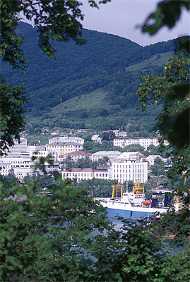
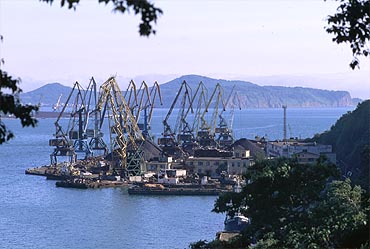
Old townThe city has been founded by Vitus Bering at this place in 1740, who was exploring the Far East for the Russian Tsar. Today the majority of Kamchatka's 400,000 inhabitants live in the capital. |
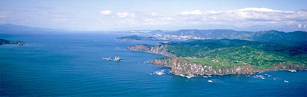
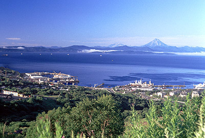
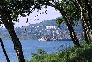
Avacha BayA view to the south over the bay. The capital of Kamchatka is built on hilly terrain and from upper places some of the surrounding volcanoes are visible. You may take a closer look at one of them, Gorely. |
|
|
|
|
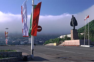
City CenterThe memorial of Lenin is a reminder of the Communist time. The flags are hoisted up for the upcoming Day of the Sea Fleet. The sky is representative for the rapidly changing weather conditions. While the lower part is still warmed up by the sun, the upper parts are already covered by a dense and cold fog. |
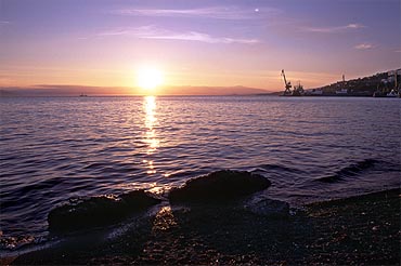
Evening at the beachThe beach in the center is a popular recreation area. In nice weather many people have a beer in one of the small bars along the beach. |
|
|
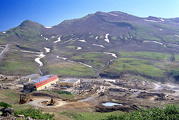
Power stationThe construction of the geothermal power station near the Mutnovsky volcano proceeds at high speed. The designed capacity is about 50 MW and will help to cover most of the demand of Petropavlovsk from local sources. Located only a few kilometers south of the Mutnovsky it will sooner or later be threatened by a volcanic eruption. More about Mutnovsky here. |
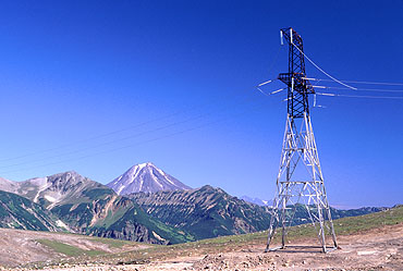
Electrical power lineThe line follows the road from Petropavlovsk to the station. Energy supply has been a painful problem during the last years, depending to a great extend on expensive oil and fuel shipping from the mainland. In winter time people are often confronted with power cut-offs and cold homes. One small geothermal station already operates since many years at the southern end of the peninsula in Poushetka. The construction of another new hydro-electrical power plant is advancing at the Tolmachevskoe Lake near the Opala volcano (2002). |
|
|
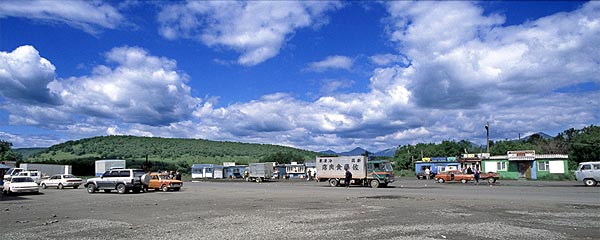
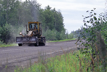
RoadworkKamchatka's road network is thin and most of the few roads are not (yet?) paved. Most of the cars have been brought in from Japan and have the steering wheel on the wrong right-hand side. The longest route from Petropavlovsk to Ust-Kamchatsk is only paved in the vicinity of cities and bigger villages. |
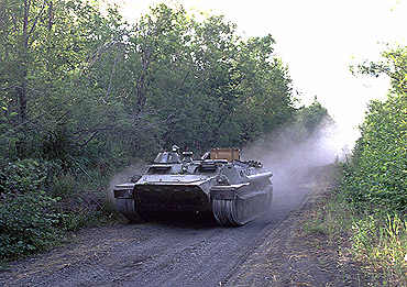
The best way... to travel is to use an all-terrain vehicle. This "tank" approached us at a boneshaking speed and since it went the other way all we could do was to stop breathing until the dust had settled. |
|
|
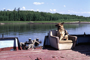
Ferry-boatThe Kamchatka river is broad and a bridge would require a complicate and expensive construction strong enough to withstand the ice in winter. Ironically the ice-cover builds a natural bridge and only in early winter and in spring drifting ice makes it impossible to cross the river. The German shepherd travels first-class, as it belongs to the captain. |
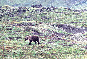
BearsKamchatka homes one of the world's largest populations of brown bears. In summer most of them keep themselves busy catching salmons in the rivers or lakes to accumulate fat for the long winter. This one instead, probably a vegetarian, prefers to eat berries in the tundra. |
|
|